STS032-94-40
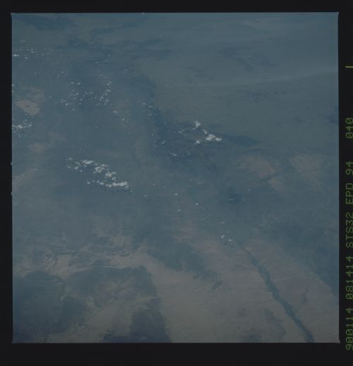
| NASA Photo ID | STS032-94-40 |
| Focal Length | 250mm |
| Date taken | 1990.01.14 |
| Time taken | 08:14:14 GMT |
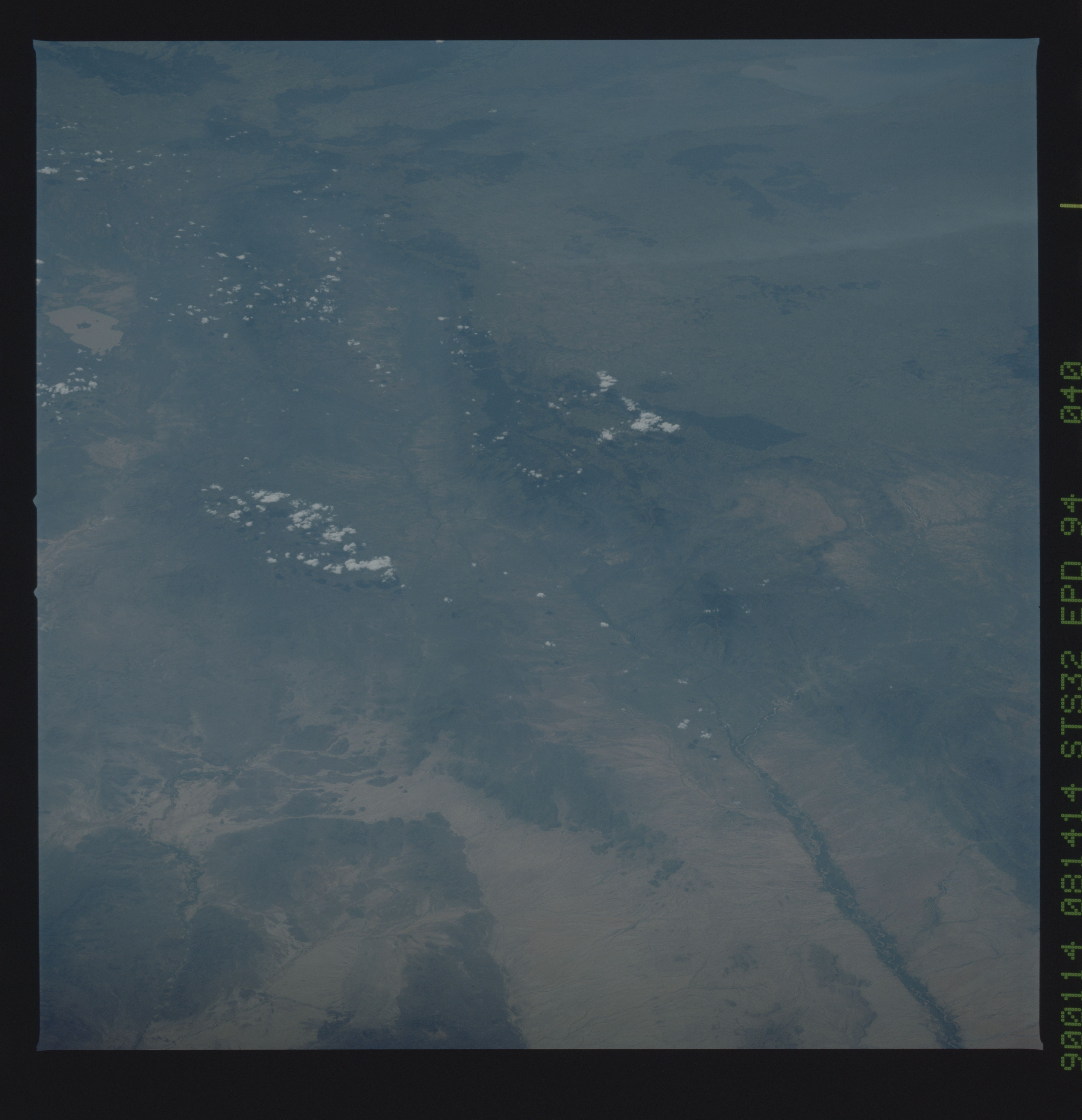
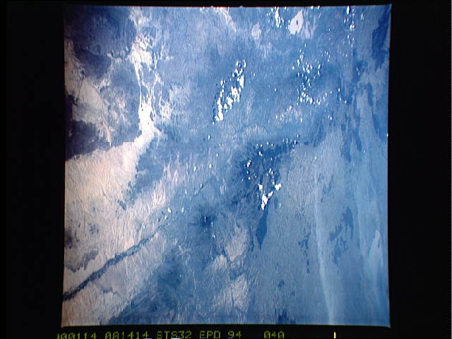
Cloud masks available for this image:
Spacecraft nadir point: 6.4° N, 36.6° E
Photo center point: 1.5° N, 35.5° E
Photo center point by machine learning:
Photo center point: 1.5° N, 35.5° E
Photo center point by machine learning:
Nadir to Photo Center: South
Spacecraft Altitude: 177 nautical miles (328km)
Country or Geographic Name: | KENYA |
Features: | CHERANGANY HILLS |
| Features Found Using Machine Learning: | |
Cloud Cover Percentage: | 10 (1-10)% |
Sun Elevation Angle: | 54° |
Sun Azimuth: | 142° |
Camera: | Hasselblad |
Focal Length: | 250mm |
Camera Tilt: | Low Oblique |
Format: | 5036: Kodak, natural color positive, Ektachrome 5036,200 Professional, ASA 200, stand |
Film Exposure: | Normal |
| Additional Information | |
| Width | Height | Annotated | Cropped | Purpose | Links |
|---|---|---|---|---|---|
| 5700 pixels | 5900 pixels | No | No | Download Image | |
| 500 pixels | 518 pixels | No | No | Download Image | |
| 640 pixels | 480 pixels | No | No | Download Image |
Download Packaged File
Download a Google Earth KML for this Image
View photo footprint information
Download a GeoTIFF for this photo
Image Caption: This rare, cloud free view of the East African Rift Valley, Kenya (1.5N, 35.5E) shows a clear view of the Turkwell River Valley, an offshoot of the African REift System. The East African Rift is part of a vast plate fracture which extends from southern Turkey, through the Red Sea, East Africa and into Mozambique. Dark green patches of forests are seen along the rift margin and tea plantations occupy the cooler higher ground.

