STS032-88-92
| NASA Photo ID | STS032-88-92 |
| Focal Length | 250mm |
| Date taken | 1990.01.19 |
| Time taken | 15:51:18 GMT |
Cloud masks available for this image:
Spacecraft nadir point: 22.3° S, 61.1° W
Photo center point: 22.0° S, 62.5° W
Photo center point by machine learning:
Photo center point: 22.0° S, 62.5° W
Photo center point by machine learning:
Nadir to Photo Center: West
Spacecraft Altitude: 178 nautical miles (330km)
Country or Geographic Name: | PARAGUAY |
Features: | RIO PILCOMAYO |
| Features Found Using Machine Learning: | |
Cloud Cover Percentage: | 5 (1-10)% |
Sun Elevation Angle: | 84° |
Sun Azimuth: | 72° |
Camera: | Hasselblad |
Focal Length: | 250mm |
Camera Tilt: | 26 degrees |
Format: | 5017: Kodak, natural color positive, Ektachrome, X Professional, ASA 64, standard base |
Film Exposure: | Normal |
| Additional Information | |
| Width | Height | Annotated | Cropped | Purpose | Links |
|---|---|---|---|---|---|
| 5700 pixels | 5900 pixels | No | No | Download Image | |
| 500 pixels | 518 pixels | No | No | Download Image | |
| 640 pixels | 480 pixels | No | No | Download Image |
Download Packaged File
Download a Google Earth KML for this Image
View photo footprint information
Download a GeoTIFF for this photo
Image Caption:
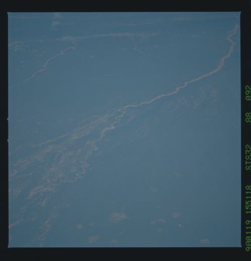
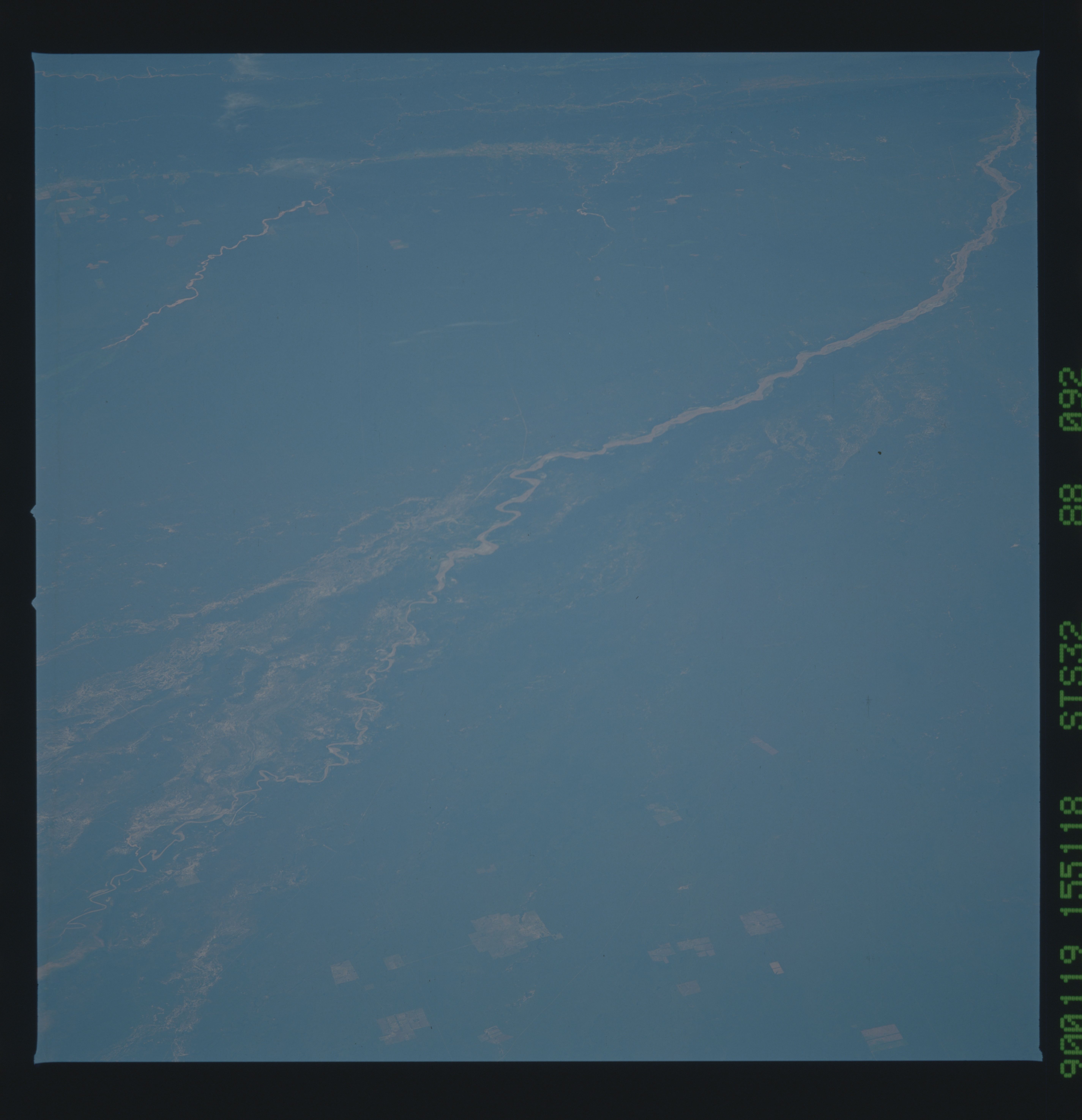
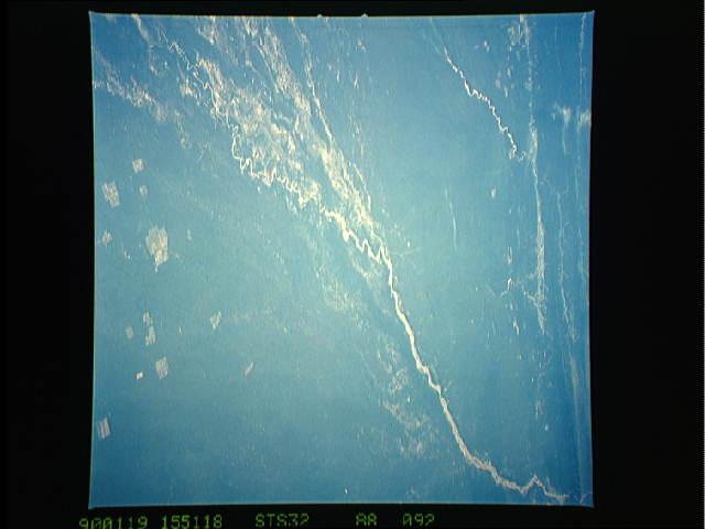
Pilcomayo Mega-cone
Mega-cones are very large land form features: in the foreground
of this mosaic lies the upper 300 kms of the world's largest
known cone, that of the Pilcomayo River. Leaving the Andes
ranges (background) the Pilcomayo flows out onto an enourmous
"cone" made of its own sediment laid down over the last several
million years with a radius of 500 km. The cone apex lies at the
point where the Pilcomayo exits the mountains -- light-colored
old courses (arrows) can be seen radiating away from the apex.
The major light-colored, fan-like feature (foreground) is a large
subcone 150 km long. A small cone can be seen top left related
to the prominent light-colored stream which exits the Andes south
of the Pilcomayo.
The Pilcomayo River acts as the boundary between Argentina (left)
and Paraguay (right). The upper part of the cone lies in Bolivia.
The three countries meet at A. (S32-88-091, 092)
