STS032-71-AD
| NASA Photo ID | STS032-71-AD |
| Focal Length | 100mm |
| Date taken | 1990.01.__ |
| Time taken | GMT |
Resolutions offered for this image:
5255 x 5255 pixels 639 x 639 pixels 5700 x 5900 pixels 500 x 518 pixels 640 x 480 pixels
5255 x 5255 pixels 639 x 639 pixels 5700 x 5900 pixels 500 x 518 pixels 640 x 480 pixels


Cloud masks available for this image:
Spacecraft nadir point:
Photo center point: 7.5° N, 39.0° E
Photo center point by machine learning:
Photo center point: 7.5° N, 39.0° E
Photo center point by machine learning:
Nadir to Photo Center:
Spacecraft Altitude: nautical miles (0km)
Camera: | Hasselblad |
Focal Length: | 100mm |
Camera Tilt: | Low Oblique |
Format: | 5017: Kodak, natural color positive, Ektachrome, X Professional, ASA 64, standard base |
Film Exposure: | Normal |
| Additional Information | |
| Width | Height | Annotated | Cropped | Purpose | Links |
|---|---|---|---|---|---|
| 5255 pixels | 5255 pixels | No | No | Earth From Space collection | Download Image |
| 639 pixels | 639 pixels | No | No | Earth From Space collection | Download Image |
| 5700 pixels | 5900 pixels | No | No | Download Image | |
| 500 pixels | 518 pixels | No | No | Download Image | |
| 640 pixels | 480 pixels | No | No | Download Image |
Download Packaged File
Download a Google Earth KML for this Image
View photo footprint information
Download a GeoTIFF for this photo
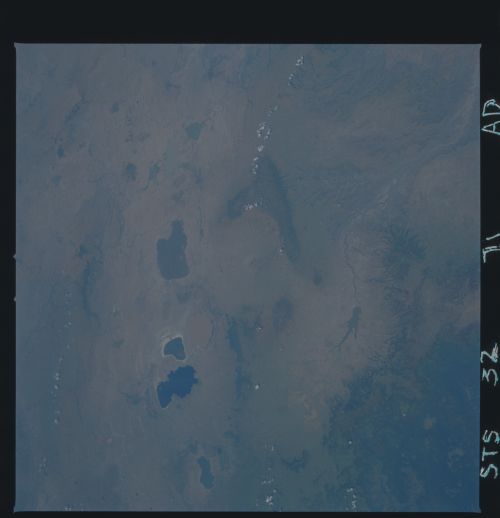
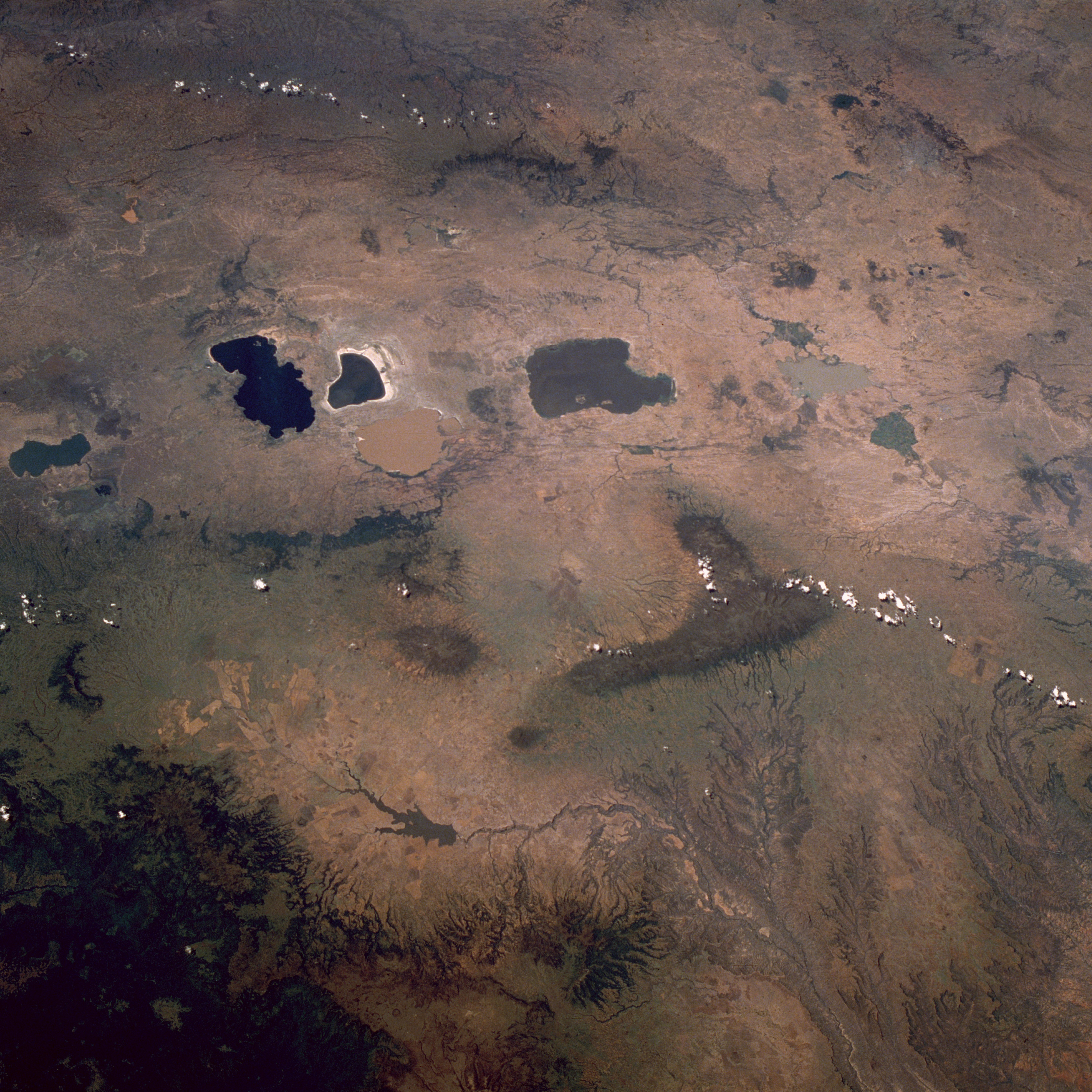
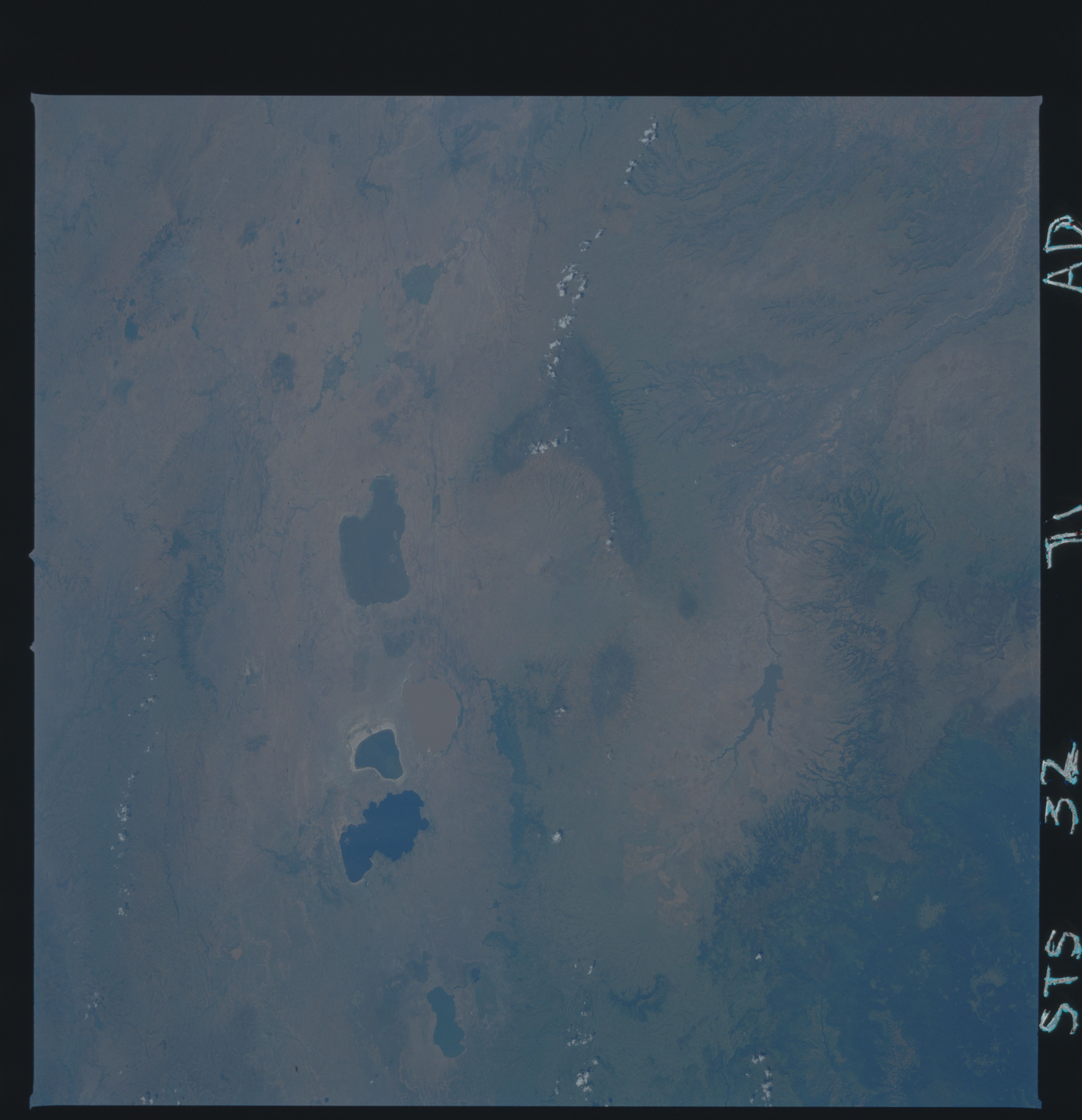
Image Caption: STS032-071-0AD East Africa Rift Valley, Ethiopia January 1990
The Great Rift Valley of east Africa extends through the midsection of Ethiopia as a northeast-southwest-trending elevated plateau. The average elevation above sea level for this part of the valley is 7000 feet (2130 meters). The valley floor is easily identified by a series of sizable lakes that have formed as water collects at the base of this extensive depression. Six major lakes of various shapes and colors approximately 110 miles (180 kilometers) due south of the capital city of Addis Ababa are visible in this photograph. Some volcanoes can be identified primarily from the drainage patterns that radiate in all directions from their craters. The large, dark L-shaped mountainous area east of the lakes is also volcanic in origin, its massive eroded drainage pattern very evident as the landscape falls away to lower elevations. This drainage basin is part of the Shebelle River that drains eastern Ethiopia, intermittently flows through central Somalia, and empties into the Indian Ocean. The darker area along the southeastern corner of the photograph is a vegetated, mountainous region where several elevations exceed 12 000 feet (3660 meters) above sea level.
The Great Rift Valley of east Africa extends through the midsection of Ethiopia as a northeast-southwest-trending elevated plateau. The average elevation above sea level for this part of the valley is 7000 feet (2130 meters). The valley floor is easily identified by a series of sizable lakes that have formed as water collects at the base of this extensive depression. Six major lakes of various shapes and colors approximately 110 miles (180 kilometers) due south of the capital city of Addis Ababa are visible in this photograph. Some volcanoes can be identified primarily from the drainage patterns that radiate in all directions from their craters. The large, dark L-shaped mountainous area east of the lakes is also volcanic in origin, its massive eroded drainage pattern very evident as the landscape falls away to lower elevations. This drainage basin is part of the Shebelle River that drains eastern Ethiopia, intermittently flows through central Somalia, and empties into the Indian Ocean. The darker area along the southeastern corner of the photograph is a vegetated, mountainous region where several elevations exceed 12 000 feet (3660 meters) above sea level.
