STS032-71-40
| NASA Photo ID | STS032-71-40 |
| Focal Length | 100mm |
| Date taken | 1990.01.11 |
| Time taken | 16:30:29 GMT |
Resolutions offered for this image:
5142 x 5142 pixels 640 x 640 pixels 5700 x 5900 pixels 500 x 518 pixels 640 x 480 pixels
5142 x 5142 pixels 640 x 640 pixels 5700 x 5900 pixels 500 x 518 pixels 640 x 480 pixels

Cloud masks available for this image:
Spacecraft nadir point: 10.1° N, 72.5° W
Photo center point: 11.0° N, 72.0° W
Photo center point by machine learning:
Photo center point: 11.0° N, 72.0° W
Photo center point by machine learning:
Nadir to Photo Center: Northeast
Spacecraft Altitude: 175 nautical miles (324km)
Country or Geographic Name: | VENEZUELA |
Features: | TABLAZO BAY, MARACAIBO |
| Features Found Using Machine Learning: | |
Cloud Cover Percentage: | 25 (11-25)% |
Sun Elevation Angle: | 57° |
Sun Azimuth: | 168° |
Camera: | Hasselblad |
Focal Length: | 100mm |
Camera Tilt: | 19 degrees |
Format: | 5017: Kodak, natural color positive, Ektachrome, X Professional, ASA 64, standard base |
Film Exposure: | Normal |
| Additional Information | |
| Width | Height | Annotated | Cropped | Purpose | Links |
|---|---|---|---|---|---|
| 5142 pixels | 5142 pixels | No | No | Earth From Space collection | Download Image |
| 640 pixels | 640 pixels | No | No | Earth From Space collection | Download Image |
| 5700 pixels | 5900 pixels | No | No | Download Image | |
| 500 pixels | 518 pixels | No | No | Download Image | |
| 640 pixels | 480 pixels | No | No | Download Image |
Download Packaged File
Download a Google Earth KML for this Image
View photo footprint information
Download a GeoTIFF for this photo
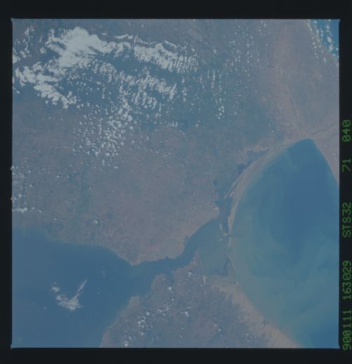
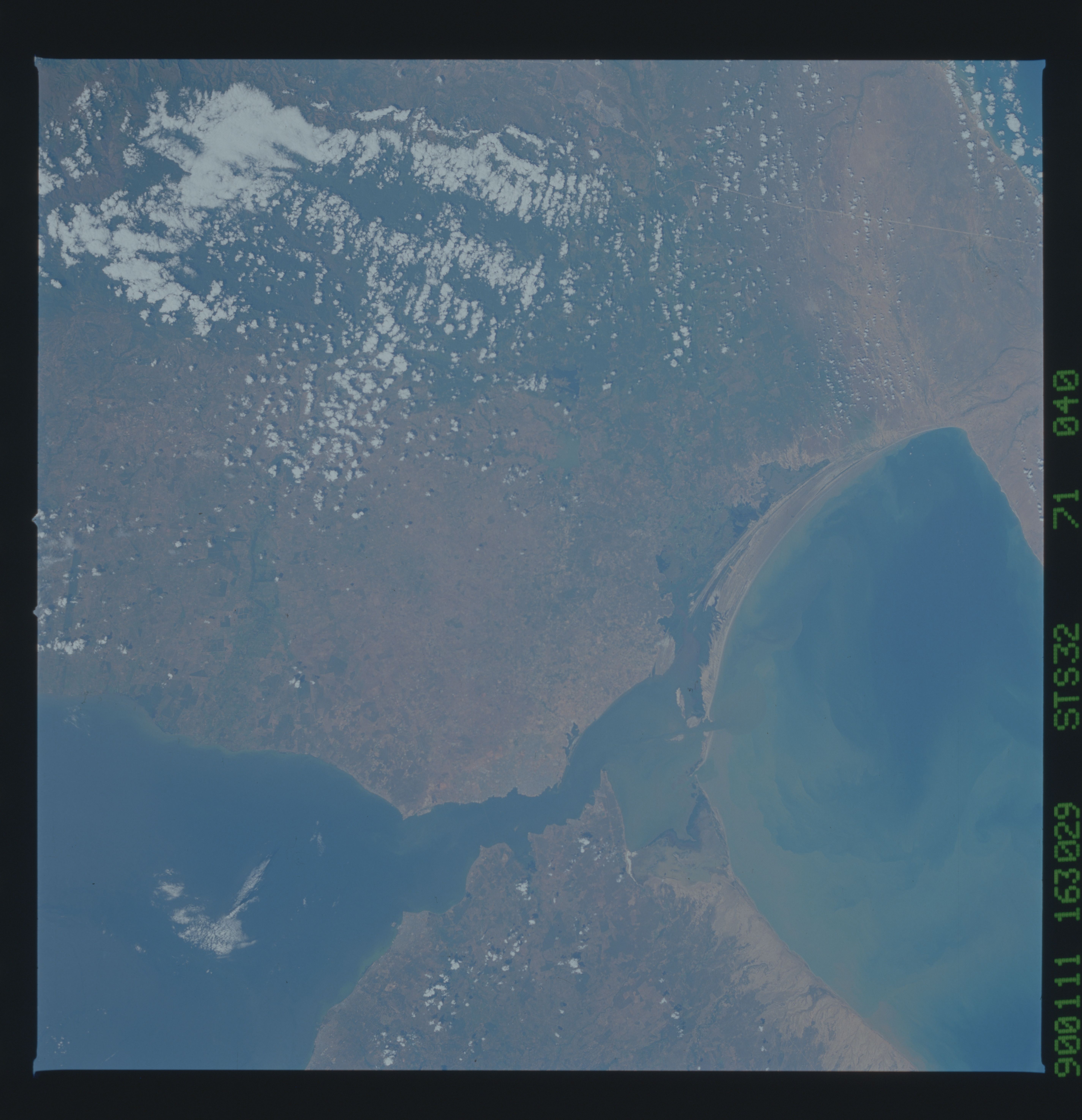
Image Caption: STS032-071-040 Lake Maracaibo Area, Venezuela January 1990
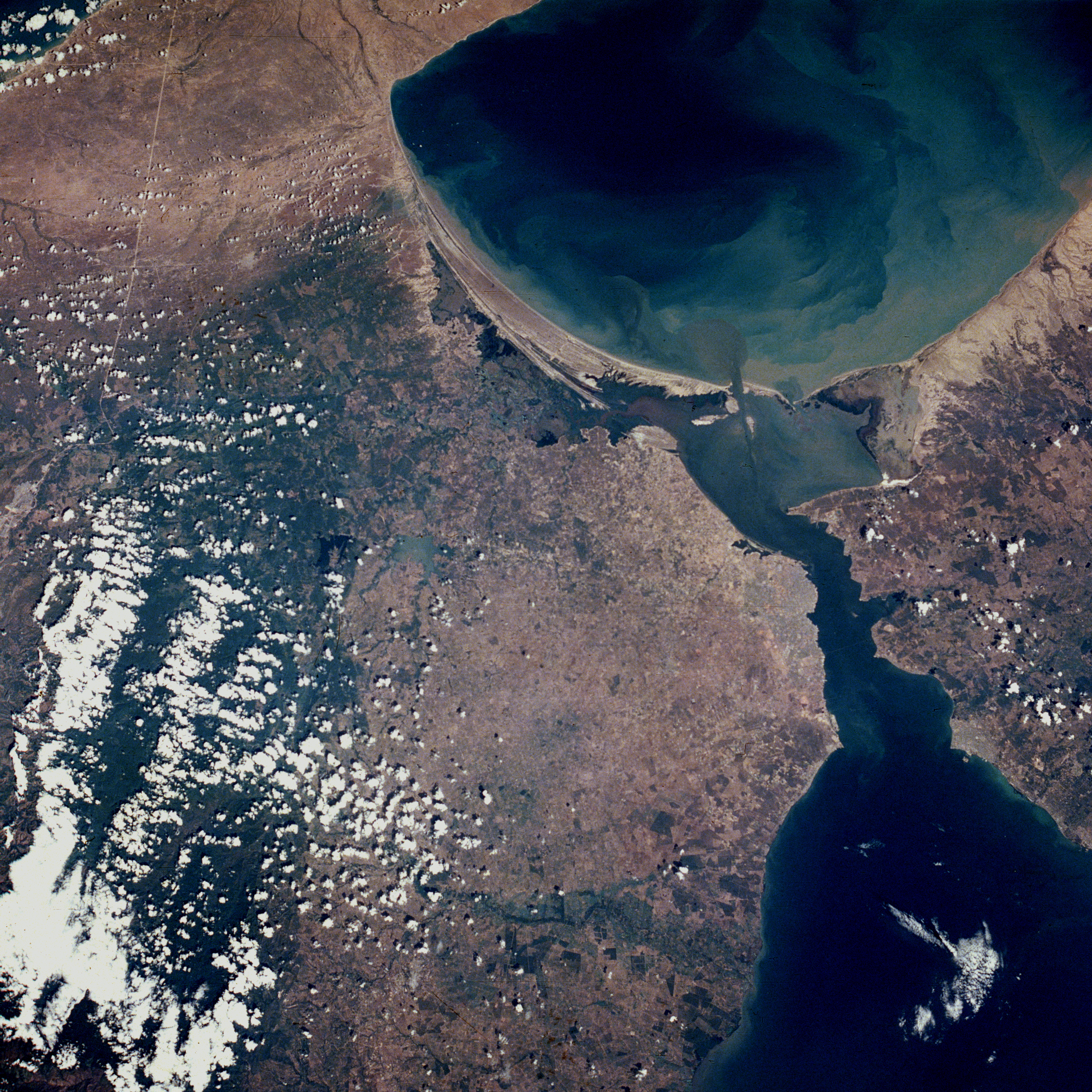
Maracaibo, Venezuela's second most populous city with more than 1.5 million, sits along the western edge of the strait connecting Tablazo Bay with the northern end of Lake Maracaibo. The short-flowing Palmar River and its delta can be seen on the northwest side of Lake Maracaibo. The Gulf of Venezuela, shown with sediment swirls immediately north of Tablazo Bay, provides a natural water route into the Caribbean Sea. Sandy beaches lie along the southern margin of the Gulf of Venezuela. Most of the landscape around the Maracaibo area is classified as lowlands. The darker, densely vegetated area, partially obscured by clouds west of Maracaibo, are the Perijá Mountains, part of the northern extension of the Andes Mountains. These mountains, with some elevations exceeding 10 000 feet (3050 meters) above sea level, form part of the boundary between Venezuela and Colombia. The very thin line along the northwestern edge of the photograph appears to be a northeast-southwest-aligned railroad right-of-way that crosses the Guajira Peninsula in Colombia. Since the early 1900s, the production of oil has been Maracaibo's major economic asset. Most of the oil comes from Lake Maracaibo and, to a lesser extent, from the Gulf of Venezuela.
Maracaibo, Venezuela's second most populous city with more than 1.5 million, sits along the western edge of the strait connecting Tablazo Bay with the northern end of Lake Maracaibo. The short-flowing Palmar River and its delta can be seen on the northwest side of Lake Maracaibo. The Gulf of Venezuela, shown with sediment swirls immediately north of Tablazo Bay, provides a natural water route into the Caribbean Sea. Sandy beaches lie along the southern margin of the Gulf of Venezuela. Most of the landscape around the Maracaibo area is classified as lowlands. The darker, densely vegetated area, partially obscured by clouds west of Maracaibo, are the Perijá Mountains, part of the northern extension of the Andes Mountains. These mountains, with some elevations exceeding 10 000 feet (3050 meters) above sea level, form part of the boundary between Venezuela and Colombia. The very thin line along the northwestern edge of the photograph appears to be a northeast-southwest-aligned railroad right-of-way that crosses the Guajira Peninsula in Colombia. Since the early 1900s, the production of oil has been Maracaibo's major economic asset. Most of the oil comes from Lake Maracaibo and, to a lesser extent, from the Gulf of Venezuela.

