STS031-91-68

| NASA Photo ID | STS031-91-68 |
| Focal Length | 250mm |
| Date taken | 1990.04.28 |
| Time taken | 15:16:51 GMT |
Cloud masks available for this image:
Spacecraft nadir point: 15.7° N, 92.0° W
Photo center point: 17.0° N, 93.0° W
Photo center point by machine learning:
Photo center point: 17.0° N, 93.0° W
Photo center point by machine learning:
Nadir to Photo Center: Northwest
Spacecraft Altitude: 331 nautical miles (613km)
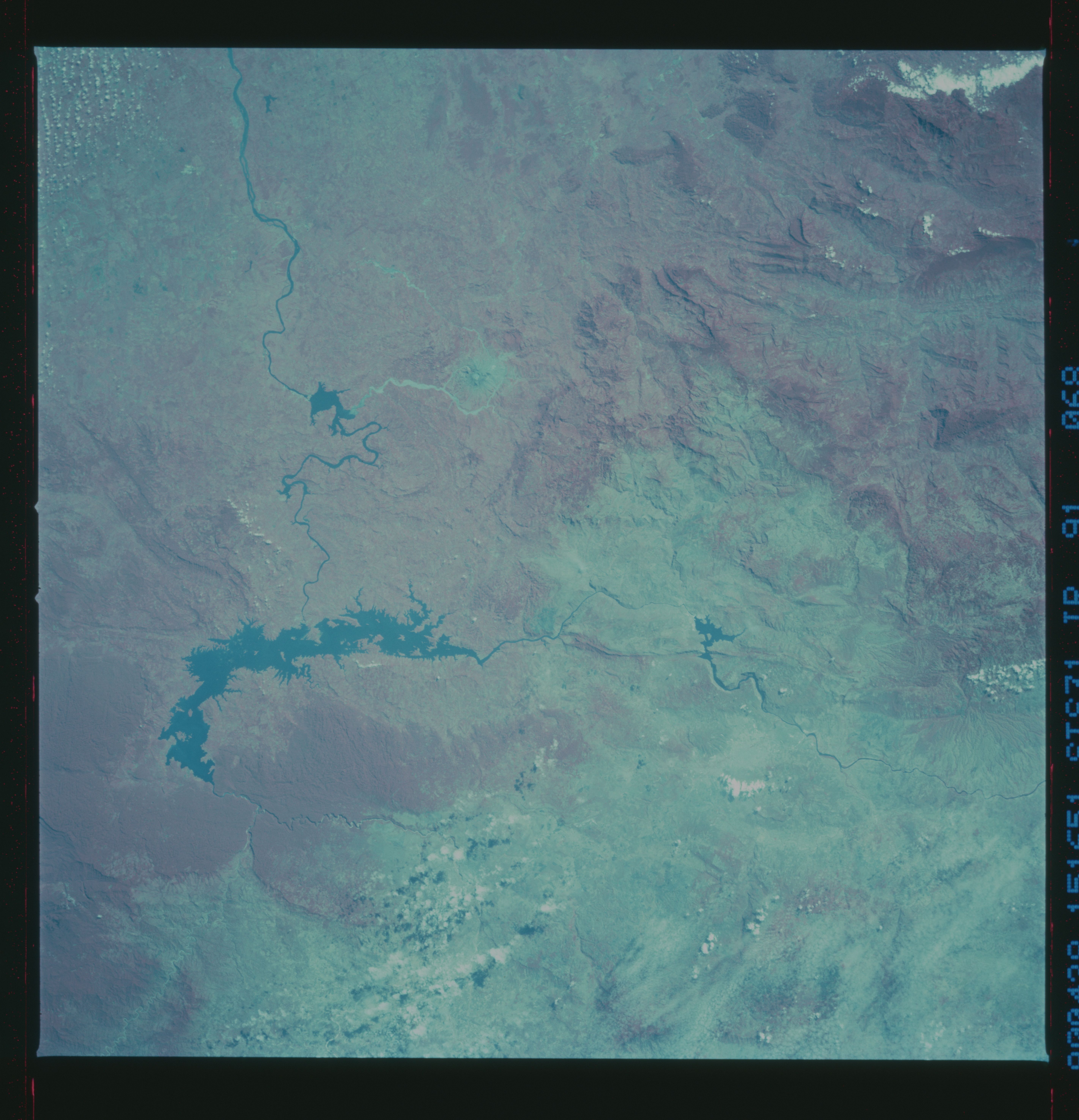
Country or Geographic Name: | MEXICO |
Features: | MALPASO RESERVOIR |
| Features Found Using Machine Learning: | |
Cloud Cover Percentage: | 10 (1-10)% |
Sun Elevation Angle: | 49° |
Sun Azimuth: | 86° |
Camera: | Hasselblad |
Focal Length: | 250mm |
Camera Tilt: | 17 degrees |
Format: | 2443: Kodak Aerochrome 2443, color IR, thin base, EA-5 process thru June 1999, E-6 process afterward |
Film Exposure: | Normal |
| Additional Information | |
| Width | Height | Annotated | Cropped | Purpose | Links |
|---|---|---|---|---|---|
| 5686 pixels | 5900 pixels | No | No | Download Image | |
| 500 pixels | 519 pixels | No | No | Download Image | |
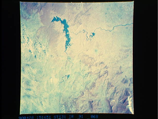
| 640 pixels | 480 pixels | No | No | Download Image |
Download Packaged File
Download a Google Earth KML for this Image
View photo footprint information
Download a GeoTIFF for this photo
Image Caption:
El Chichon sits by itself in eastern Mexico. The summit is still
deforested and surrounding rivers remain choked with ask after
the 1982 eruption. Recovery from major eruptions may take several
decades. The photograph was taken on 28 April 1990 from an alti-
tude of 331 n.mi. (613 km) using a Hasselblad camera equipped
with a 250 mm lens and color IR film. (Photo ID: S31-91-068).
