STS031-71-45
| NASA Photo ID | STS031-71-45 |
| Focal Length | 40mm |
| Date taken | 1990.04.25 |
| Time taken | 08:10:09 GMT |
Resolutions offered for this image:
5700 x 5900 pixels 500 x 518 pixels 640 x 480 pixels 652 x 641 pixels
5700 x 5900 pixels 500 x 518 pixels 640 x 480 pixels 652 x 641 pixels
Cloud masks available for this image:
Spacecraft nadir point: 19.1° N, 30.4° E
Photo center point:
Photo center point by machine learning:
Photo center point:
Photo center point by machine learning:
Nadir to Photo Center:
Spacecraft Altitude: 332 nautical miles (615km)
Country or Geographic Name: | |
Features: | CARGO BAY, PRE-HUBBLE LAU |
| Features Found Using Machine Learning: | |
Cloud Cover Percentage: | |
Sun Elevation Angle: | 63° |
Sun Azimuth: | 99° |
Camera: | Hasselblad |
Focal Length: | 40mm |
Camera Tilt: | |
Format: | 5017: Kodak, natural color positive, Ektachrome, X Professional, ASA 64, standard base |
Film Exposure: | Normal |
| Additional Information | |
| Width | Height | Annotated | Cropped | Purpose | Links |
|---|---|---|---|---|---|
| 5700 pixels | 5900 pixels | No | No | Download Image | |
| 500 pixels | 518 pixels | No | No | Download Image | |
| 640 pixels | 480 pixels | No | No | Download Image | |
| 652 pixels | 641 pixels | No | No | Download Image |
Download Packaged File
Download a Google Earth KML for this Image
View photo footprint information
Download a GeoTIFF for this photo
Image Caption:
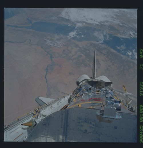
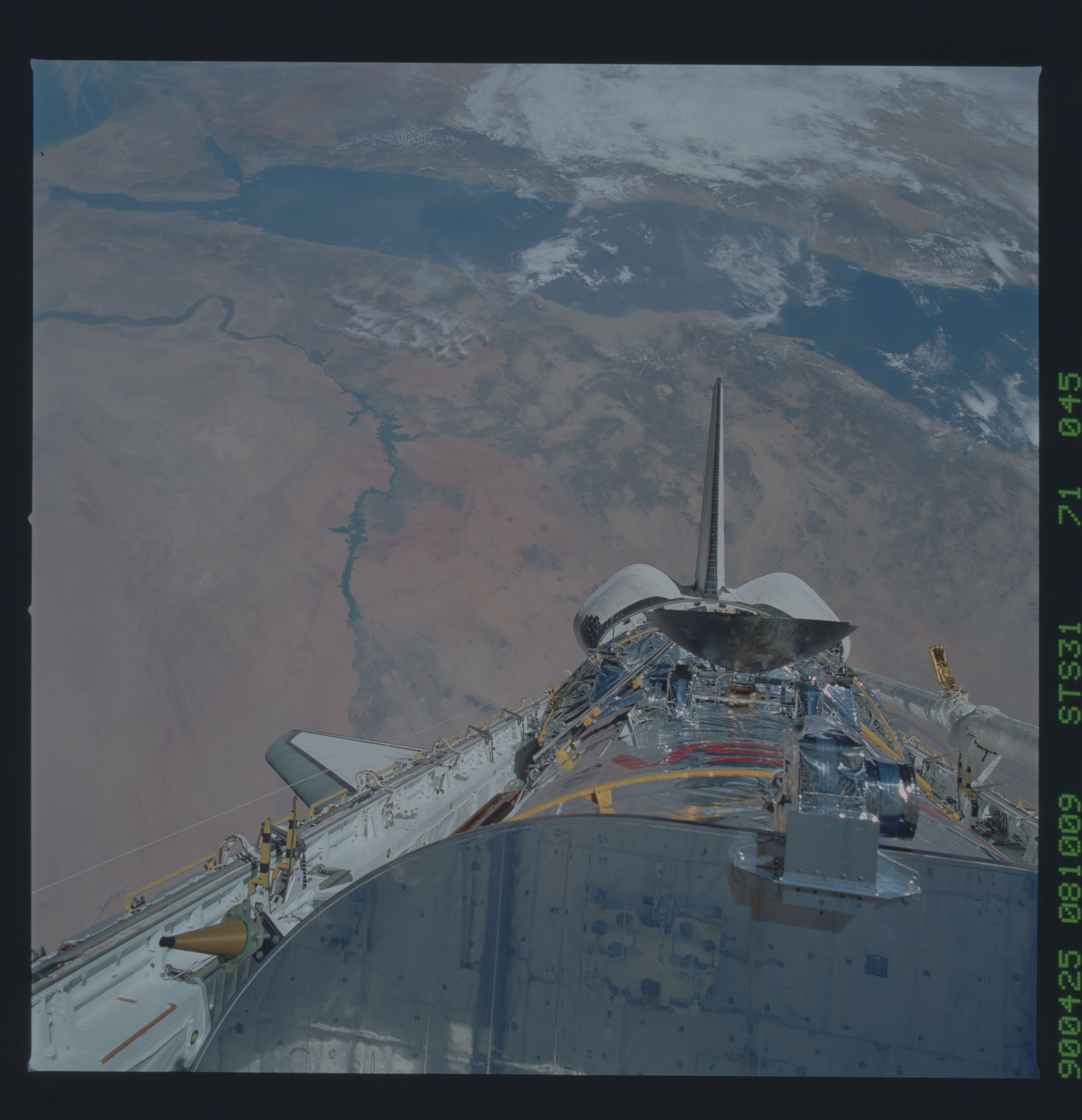
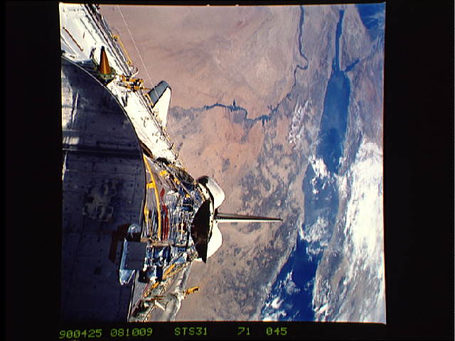
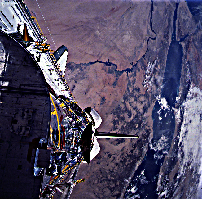
A sweeping view of the Red Sea region from the Sinai Peninsula to
southern Sudan (S31- 71-045). The difference between this view
and similar views taken in 1966 (during Gemini XI) is the ex-
istence of Lake Nasser, the resultant of the construction of the
Aswan High Dam, completed in 1971. This oblique view also in-
cludes the payload bay of the Shuttle with the Hubble Space Tele-
scope before it's deploy.
