STS030-93-116
| NASA Photo ID | STS030-93-116 |
| Focal Length | 250mm |
| Date taken | 1989.05.06 |
| Time taken | 19:12:01 GMT |

Cloud masks available for this image:
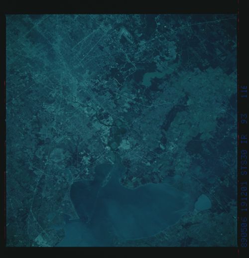
Spacecraft nadir point: 29.0° N, 94.1° W
Photo center point: 30.0° N, 95.0° W
Photo center point by machine learning:
Photo center point: 30.0° N, 95.0° W
Photo center point by machine learning:
Nadir to Photo Center: Northwest
Spacecraft Altitude: 174 nautical miles (322km)
Country or Geographic Name: | USA-TEXAS |
Features: | HOUSTON, GALVESTON BAY |
| Features Found Using Machine Learning: | |
Cloud Cover Percentage: | 0 (no clouds present) |
Sun Elevation Angle: | 71° |
Sun Azimuth: | 231° |
Camera: | Hasselblad |
Focal Length: | 250mm |
Camera Tilt: | 25 degrees |
Format: | 2443: Kodak Aerochrome 2443, color IR, thin base, EA-5 process thru June 1999, E-6 process afterward |
Film Exposure: | Normal |
| Additional Information | |
| Width | Height | Annotated | Cropped | Purpose | Links |
|---|---|---|---|---|---|
| 5700 pixels | 5900 pixels | No | No | Download Image | |
| 500 pixels | 518 pixels | No | No | Download Image | |
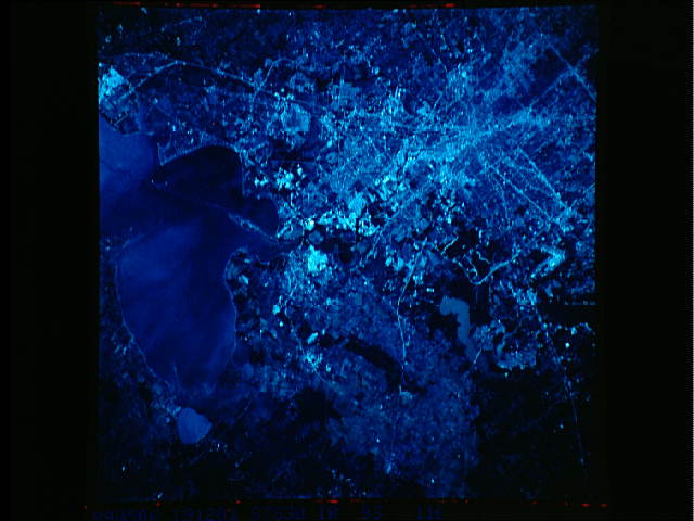
| 640 pixels | 480 pixels | No | No | Download Image |
Download Packaged File
Download a Google Earth KML for this Image
View photo footprint information
Download a GeoTIFF for this photo
Image Caption: Houston Trinity delta, Trinity Bay, Clear Lake; CIR.
Color infrared photography of Houston is useful for vegetation mapping and delineating land/water boundaries. In this photo, for example, notice the contrast between woodland and agricultural land cover types northeast of the city, and the pink-toned "signatures" of marshland near Lake Anahuac north of Trinity Bay.
Color infrared photography of Houston is useful for vegetation mapping and delineating land/water boundaries. In this photo, for example, notice the contrast between woodland and agricultural land cover types northeast of the city, and the pink-toned "signatures" of marshland near Lake Anahuac north of Trinity Bay.
