STS030-86-36
| NASA Photo ID | STS030-86-36 |
| Focal Length | 100mm |
| Date taken | 1989.05.07 |
| Time taken | 17:48:10 GMT |
Cloud masks available for this image:
Spacecraft nadir point: 28.4° N, 95.8° W
Photo center point: 29.5° N, 95.0° W
Photo center point by machine learning:
Photo center point: 29.5° N, 95.0° W
Photo center point by machine learning:
Nadir to Photo Center: Northeast
Spacecraft Altitude: 176 nautical miles (326km)
Country or Geographic Name: | USA-TEXAS |
Features: | GULF OF MEXICO COASTLINE |
| Features Found Using Machine Learning: | |
Cloud Cover Percentage: | 70 (51-75)% |
Sun Elevation Angle: | 76° |
Sun Azimuth: | 145° |
Camera: | Hasselblad |
Focal Length: | 100mm |
Camera Tilt: | 25 degrees |
Format: | 5036: Kodak, natural color positive, Ektachrome 5036,200 Professional, ASA 200, stand |
Film Exposure: | Normal |
| Additional Information | |
| Width | Height | Annotated | Cropped | Purpose | Links |
|---|---|---|---|---|---|
| 5700 pixels | 5900 pixels | No | No | Download Image | |
| 500 pixels | 518 pixels | No | No | Download Image | |
| 640 pixels | 480 pixels | No | No | Download Image |
Download Packaged File
Download a Google Earth KML for this Image
View photo footprint information
Download a GeoTIFF for this photo
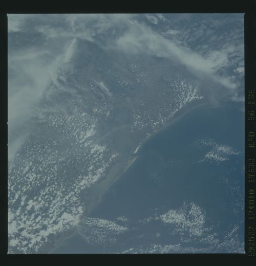
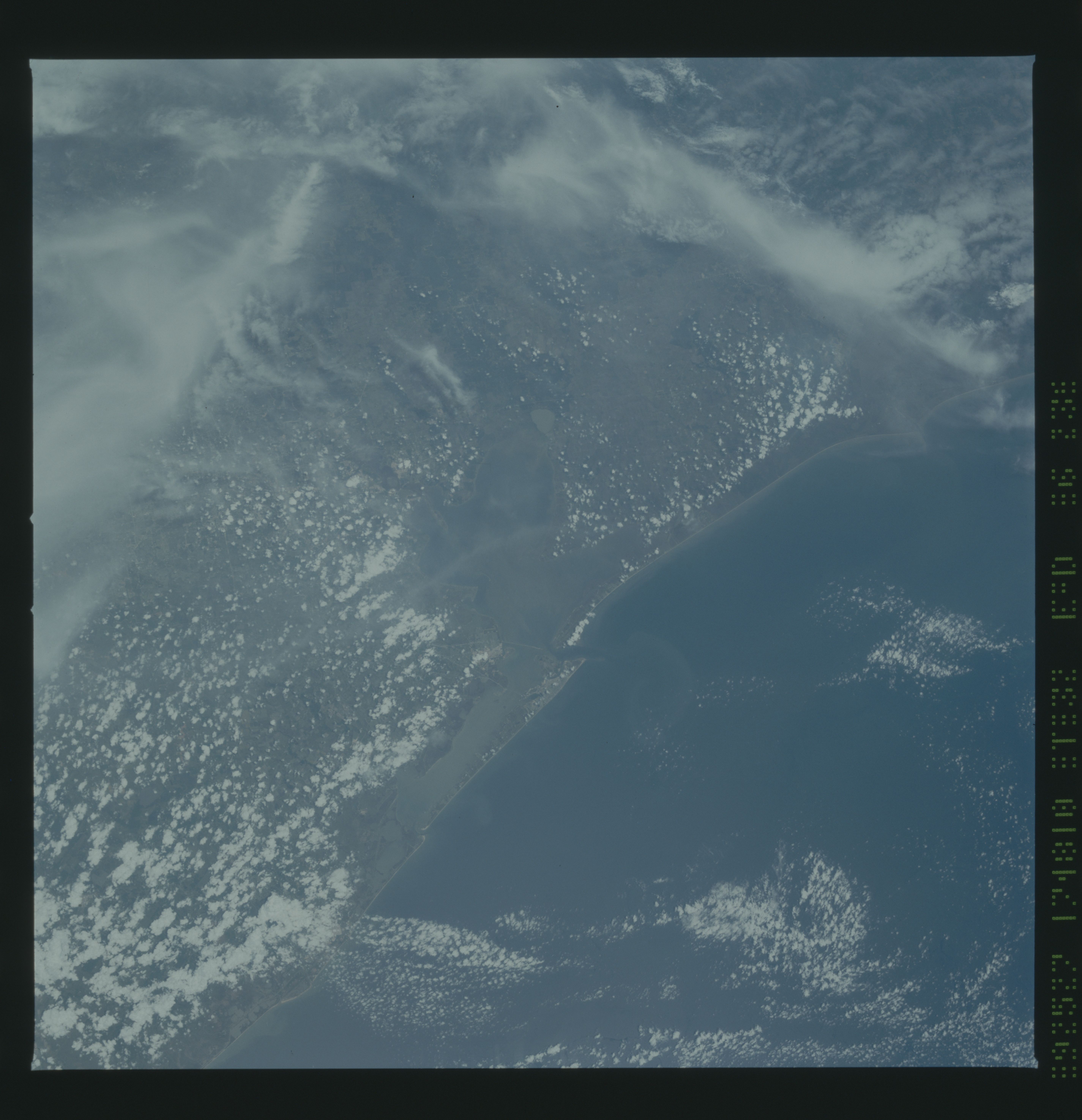
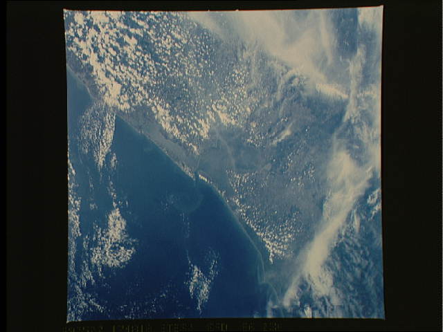
Image Caption: The upper Texas Gulf Coast (29.0N, 95.5W), though mostly cloud covered in this view, is still readily identifiable because of the distinctive features of the Texas Gulf Coast. Galveston Island, Galveston Bay and the coastal prairie are in the clear. Most of the city of Houston is cloud covered but the Gulf Freeeway connecting Houston and Galveston can be traced for most of it's route.
