STS030-151-177
| NASA Photo ID | STS030-151-177 |
| Focal Length | 90mm |
| Date taken | 1989.05.__ |
| Time taken | GMT |
Resolutions offered for this image:
640 x 480 pixels
640 x 480 pixels
Cloud masks available for this image:
Spacecraft nadir point:
Photo center point:
Photo center point by machine learning:
Photo center point:
Photo center point by machine learning:
Nadir to Photo Center:
Spacecraft Altitude: nautical miles (0km)
Country or Geographic Name: | AFRICA |
Features: | SAHARA |
| Features Found Using Machine Learning: | |
Cloud Cover Percentage: | 70 (51-75)% |
Sun Elevation Angle: | ° |
Sun Azimuth: | ° |
Camera: | Linhof |
Focal Length: | 90mm |
Camera Tilt: | High Oblique |
Format: | 5017: Kodak, natural color positive, Ektachrome, X Professional, ASA 64, standard base |
Film Exposure: | Normal |
| Additional Information | |
| Width | Height | Annotated | Cropped | Purpose | Links |
|---|---|---|---|---|---|
| 640 pixels | 480 pixels | No | No | ISD 1 | Download Image |
Download Packaged File
Download a Google Earth KML for this Image
View photo footprint information
Download a GeoTIFF for this photo
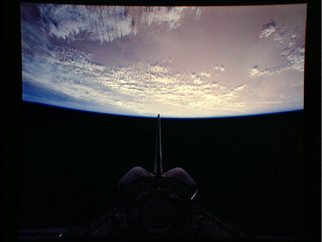
Image Caption: This oblique view of the Sahara Desert, exact location unknown, shows a large dust pall covering several thousands of square miles. Certain localities in the Sahara Desert are known to generate dust storms every few weeks although few grow to this magnitude. Dust from such clouds often wafts out over the Atlantic Ocean and, on unusual occasions, can even reach the Caribbean and the United States.
