STS028-84-7
| NASA Photo ID | STS028-84-7 |
| Focal Length | 100mm |
| Date taken | 1989.08.12 |
| Time taken | 10:37:12 GMT |
Cloud masks available for this image:
Spacecraft nadir point: 43.2° N, 50.9° E
Photo center point: 41.5° N, 53.5° E
Photo center point by machine learning:
Photo center point: 41.5° N, 53.5° E
Photo center point by machine learning:
Nadir to Photo Center: Southeast
Spacecraft Altitude: 163 nautical miles (302km)
Country or Geographic Name: | TURKMENISTAN |
Features: | KARA-BOGAZ-GOL BAY |
| Features Found Using Machine Learning: | |
Cloud Cover Percentage: | 20 (11-25)% |
Sun Elevation Angle: | 53° |
Sun Azimuth: | 230° |
Camera: | Hasselblad |
Focal Length: | 100mm |
Camera Tilt: | 49 degrees |
Format: | 5017: Kodak, natural color positive, Ektachrome, X Professional, ASA 64, standard base |
Film Exposure: | Normal |
| Additional Information | |
| Width | Height | Annotated | Cropped | Purpose | Links |
|---|---|---|---|---|---|
| 5700 pixels | 5900 pixels | No | No | Download Image | |
| 500 pixels | 518 pixels | No | No | Download Image | |
| 640 pixels | 480 pixels | No | No | Download Image |
Download Packaged File
Download a Google Earth KML for this Image
View photo footprint information
Download a GeoTIFF for this photo
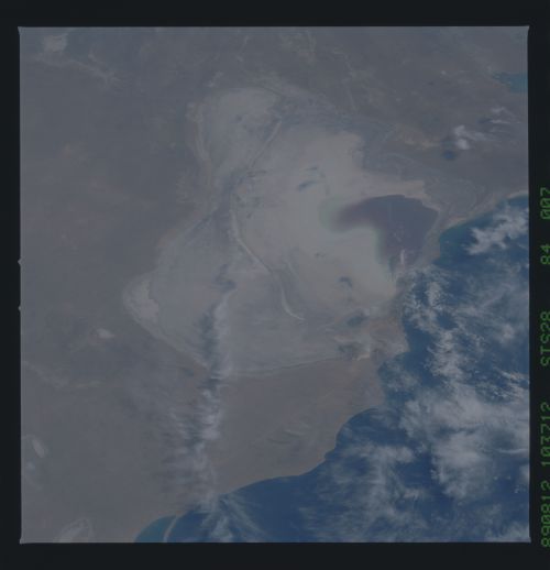
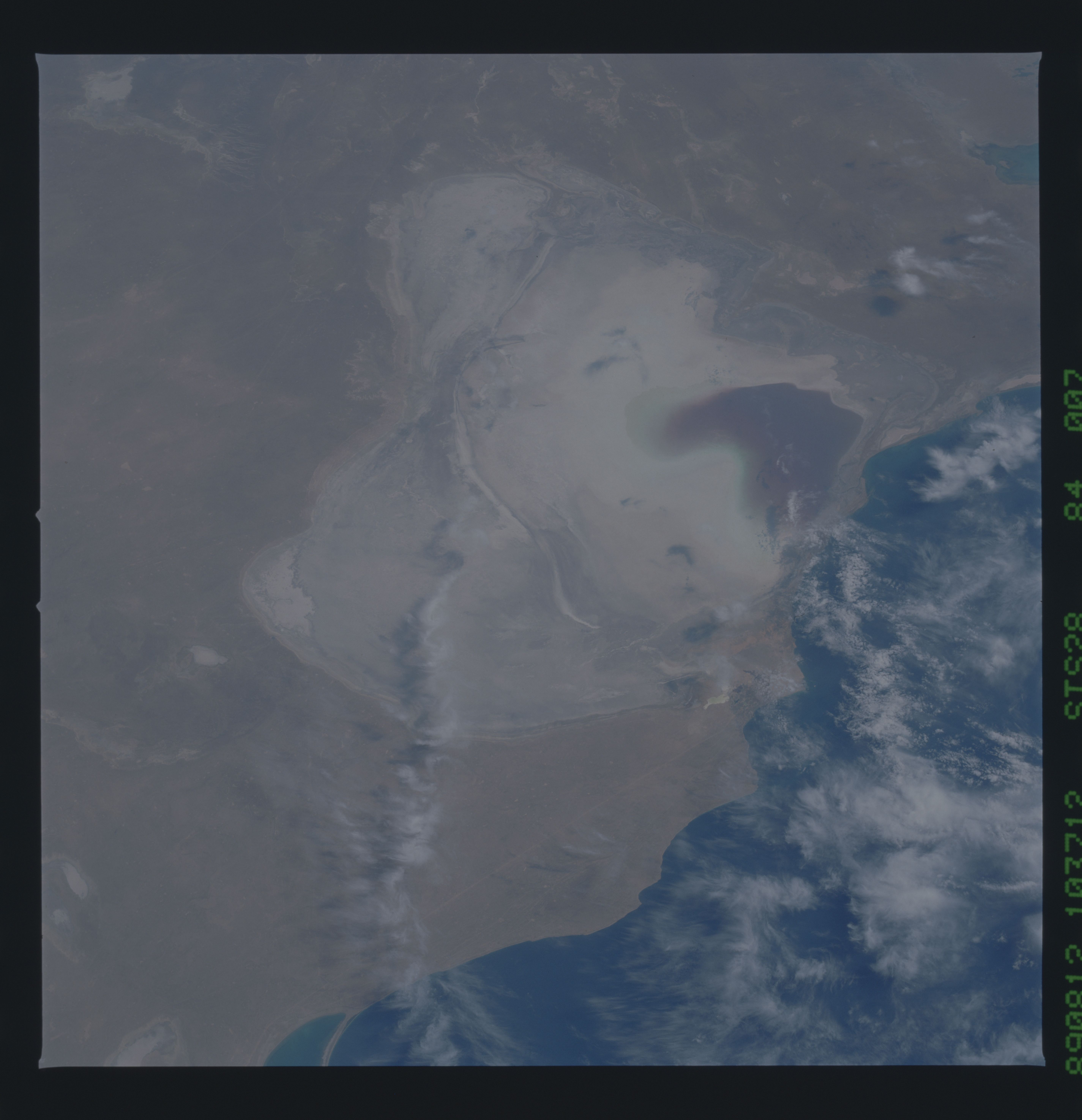
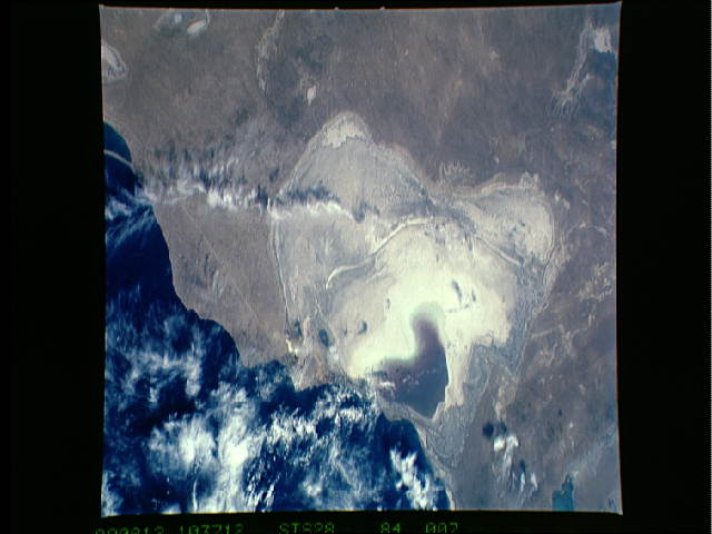
Image Caption: STS028-84-007 Kaliv Kara-Bogaz-Gol Kaliv Kara-Bogaz-Gol, an embayment
on the eastern shore of the Caspian, is very sensitive to sea level
fluctuations. This photograph (taken in 1989), demonstrates the low
water levels that were prevalent thoughout the 1980s. The
paleoshorelines are well displayed on this photograph. Roads
connecting oil fields show up as linears (arrows). W21
