STS028-76-84
| NASA Photo ID | STS028-76-84 |
| Focal Length | 250mm |
| Date taken | 1989.08.09 |
| Time taken | 08:37:25 GMT |
Resolutions offered for this image:
5266 x 5266 pixels 639 x 639 pixels 5700 x 5900 pixels 500 x 518 pixels 640 x 480 pixels
5266 x 5266 pixels 639 x 639 pixels 5700 x 5900 pixels 500 x 518 pixels 640 x 480 pixels


Cloud masks available for this image:
Spacecraft nadir point: 52.6° N, 77.9° E
Photo center point: 53.0° N, 79.5° E
Photo center point by machine learning:
Photo center point: 53.0° N, 79.5° E
Photo center point by machine learning:
Nadir to Photo Center: East
Spacecraft Altitude: 162 nautical miles (300km)
Country or Geographic Name: | RUSSIAN FEDERATION |
Features: | LAKE KULUNDINSKOYE |
| Features Found Using Machine Learning: | |
Cloud Cover Percentage: | 5 (1-10)% |
Sun Elevation Angle: | 48° |
Sun Azimuth: | 219° |
Camera: | Hasselblad |
Focal Length: | 250mm |
Camera Tilt: | Near Vertical |
Format: | 5017: Kodak, natural color positive, Ektachrome, X Professional, ASA 64, standard base |
Film Exposure: | Normal |
| Additional Information | |
| Width | Height | Annotated | Cropped | Purpose | Links |
|---|---|---|---|---|---|
| 5266 pixels | 5266 pixels | No | No | Earth From Space collection | Download Image |
| 639 pixels | 639 pixels | No | No | Earth From Space collection | Download Image |
| 5700 pixels | 5900 pixels | No | No | Download Image | |
| 500 pixels | 518 pixels | No | No | Download Image | |
| 640 pixels | 480 pixels | No | No | Download Image |
Download Packaged File
Download a Google Earth KML for this Image
View photo footprint information
Download a GeoTIFF for this photo
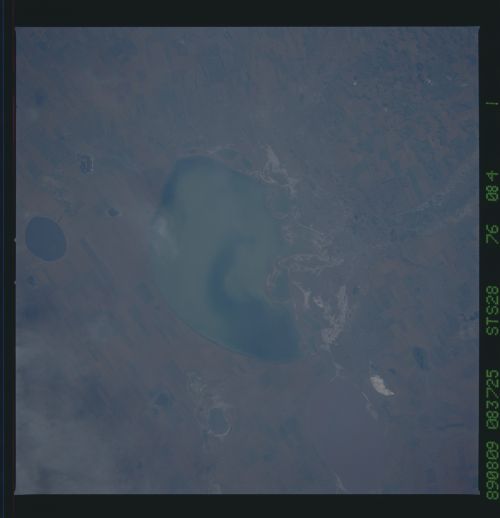
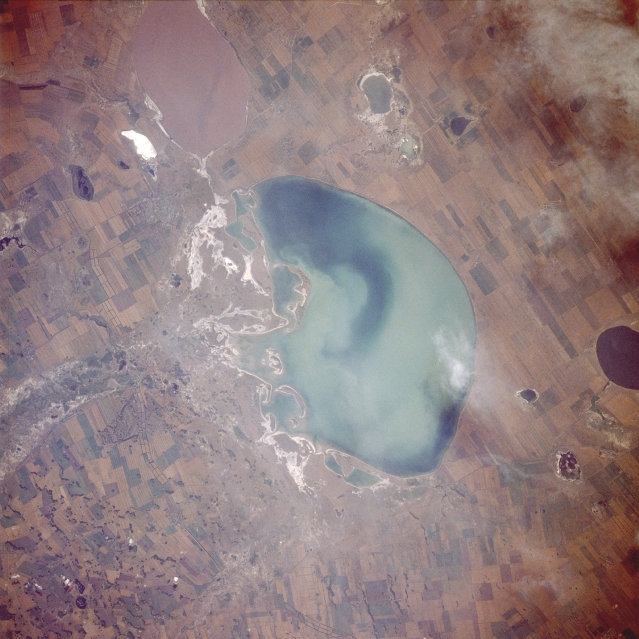
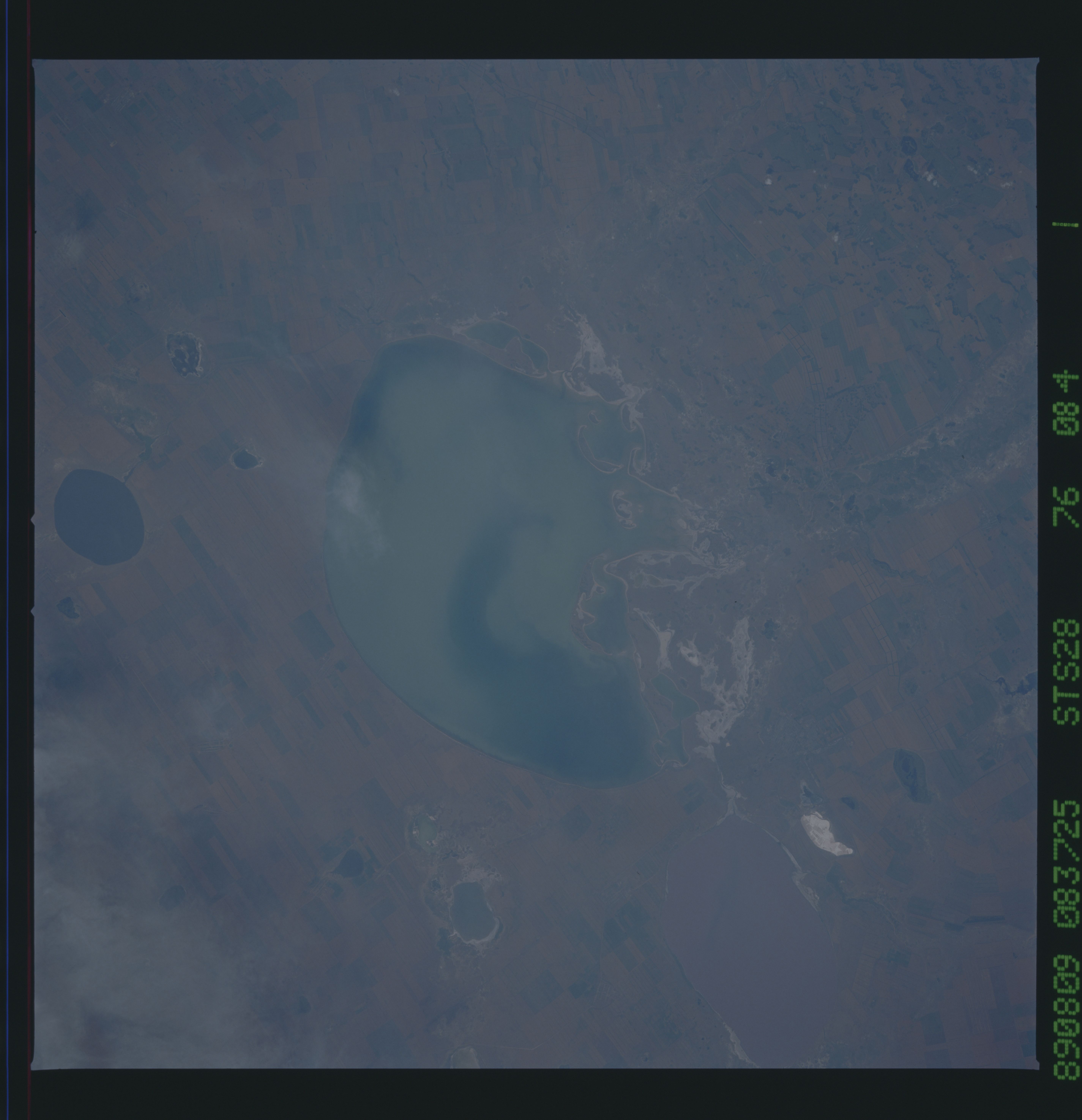
Image Caption: STS028-076-084 Lake Kulundinskoye, Russia August 1989
Lake Kulundinskoye is located on the southern edge of the much larger West Siberian Plain of south-central Russia. This lake, along with many other lakes in the region, exhibits a wide array of colors. The variations in color suggest that each lake is at a different stage of eutrophication. The lake immediately south of Lake Kulundinskoye is mauve-colored, contrasting with the oval, dark blue lake along the northwest edge of the photograph. Two deltas can be observed along the eastern side of Lake Kulundinskoye. The white areas are probably salty minerals that were deposited on the surface as water evaporated. A well-established shelter belt system (a series of three parallel lines adjoining end to end) runs generally north-south along the eastern side of Lake Kulundinskoye to form a manmade barrier to help protect against wind erosion. The cultivated field patterns are large and basically rectangular in shape. (Refer to STS-068-225-010 for the overall physical setting of Lake Kulundinskoye and its proximity to the Russian-Kazakhstan border.)
Lake Kulundinskoye is located on the southern edge of the much larger West Siberian Plain of south-central Russia. This lake, along with many other lakes in the region, exhibits a wide array of colors. The variations in color suggest that each lake is at a different stage of eutrophication. The lake immediately south of Lake Kulundinskoye is mauve-colored, contrasting with the oval, dark blue lake along the northwest edge of the photograph. Two deltas can be observed along the eastern side of Lake Kulundinskoye. The white areas are probably salty minerals that were deposited on the surface as water evaporated. A well-established shelter belt system (a series of three parallel lines adjoining end to end) runs generally north-south along the eastern side of Lake Kulundinskoye to form a manmade barrier to help protect against wind erosion. The cultivated field patterns are large and basically rectangular in shape. (Refer to STS-068-225-010 for the overall physical setting of Lake Kulundinskoye and its proximity to the Russian-Kazakhstan border.)
