STS028-76-60
| NASA Photo ID | STS028-76-60 |
| Focal Length | 250mm |
| Date taken | 1989.08.08 |
| Time taken | 22:08:27 GMT |
Resolutions offered for this image:
3904 x 3904 pixels 639 x 639 pixels 5700 x 5900 pixels 500 x 518 pixels 640 x 480 pixels
3904 x 3904 pixels 639 x 639 pixels 5700 x 5900 pixels 500 x 518 pixels 640 x 480 pixels


Cloud masks available for this image:
Spacecraft nadir point: 41.6° N, 99.8° W
Photo center point: 40.5° N, 98.0° W
Photo center point by machine learning:
Photo center point: 40.5° N, 98.0° W
Photo center point by machine learning:
Nadir to Photo Center: Southeast
Spacecraft Altitude: 163 nautical miles (302km)
Country or Geographic Name: | USA-NEBRASKA |
Features: | PLATTE RIVER, GRAND IS. |
| Features Found Using Machine Learning: | |
Cloud Cover Percentage: | 0 (no clouds present) |
Sun Elevation Angle: | 40° |
Sun Azimuth: | 255° |
Camera: | Hasselblad |
Focal Length: | 250mm |
Camera Tilt: | 38 degrees |
Format: | 5017: Kodak, natural color positive, Ektachrome, X Professional, ASA 64, standard base |
Film Exposure: | Normal |
| Additional Information | |
| Width | Height | Annotated | Cropped | Purpose | Links |
|---|---|---|---|---|---|
| 3904 pixels | 3904 pixels | No | No | Earth From Space collection | Download Image |
| 639 pixels | 639 pixels | No | No | Earth From Space collection | Download Image |
| 5700 pixels | 5900 pixels | No | No | Download Image | |
| 500 pixels | 518 pixels | No | No | Download Image | |
| 640 pixels | 480 pixels | No | No | Download Image |
Download Packaged File
Download a Google Earth KML for this Image
View photo footprint information
Download a GeoTIFF for this photo
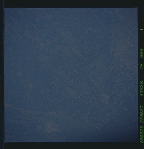
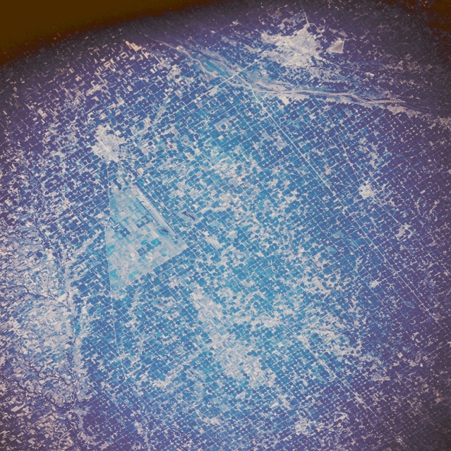
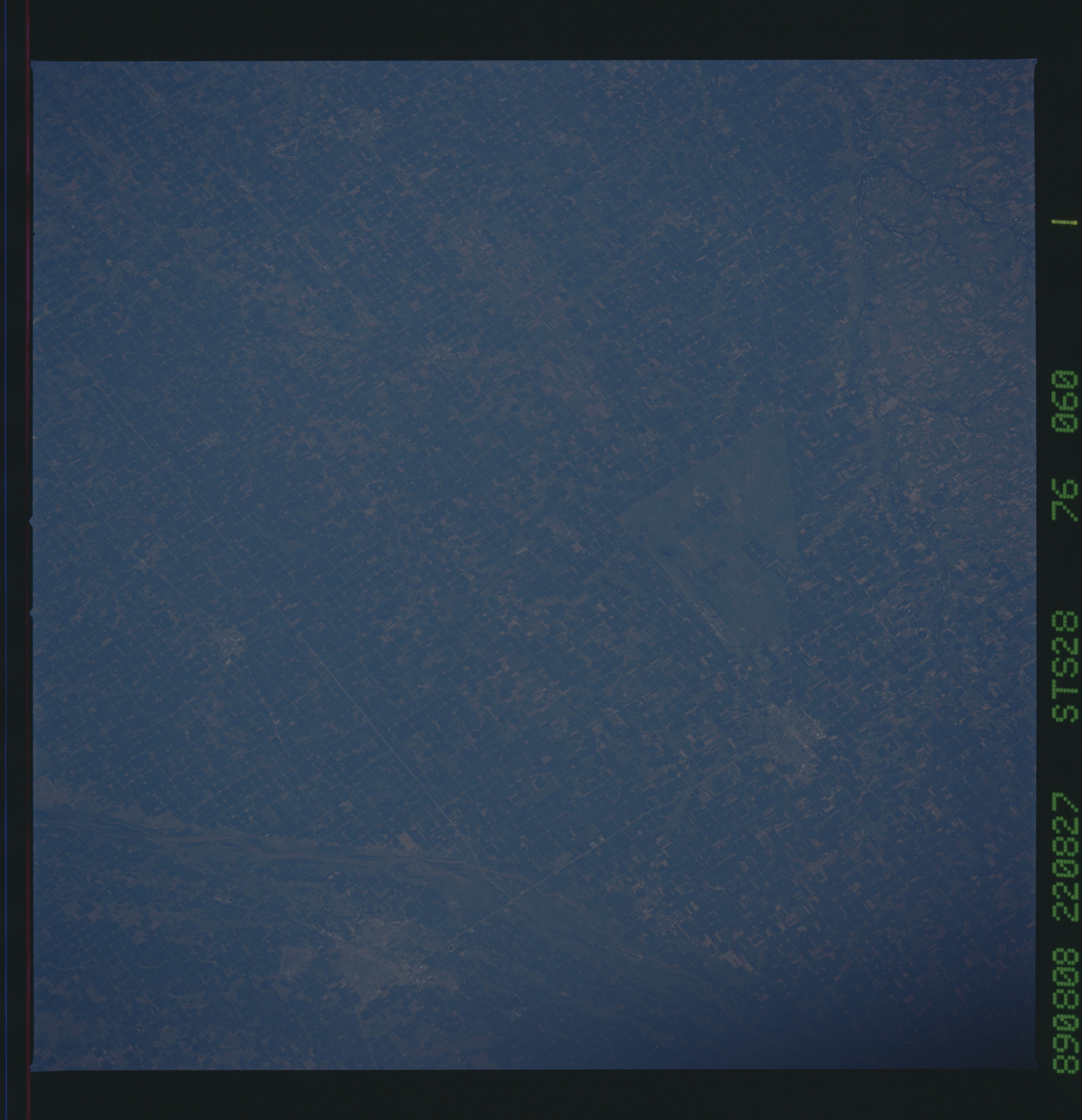
Image Caption: STS028-076-060 Grand Island and Hastings, Nebraska, U.S.A. August 1989
The rich agricultural lands of south-central Nebraska east of Hastings and Grand Island are visible in this north-northwest-looking, low-oblique photograph. A four-lane, north-south-oriented highway connects Grand Island and Hastings (upper right). Discernible south of Grand Island are the north-northeast-flowing Platte River and east-west Interstate Highway 80.
The rich agricultural lands of south-central Nebraska east of Hastings and Grand Island are visible in this north-northwest-looking, low-oblique photograph. A four-lane, north-south-oriented highway connects Grand Island and Hastings (upper right). Discernible south of Grand Island are the north-northeast-flowing Platte River and east-west Interstate Highway 80.
