STS028-76-58
| NASA Photo ID | STS028-76-58 |
| Focal Length | 250mm |
| Date taken | 1989.08.08 |
| Time taken | 22:07:34 GMT |
Resolutions offered for this image:
3904 x 3904 pixels 639 x 639 pixels 5700 x 5900 pixels 500 x 518 pixels 640 x 480 pixels
3904 x 3904 pixels 639 x 639 pixels 5700 x 5900 pixels 500 x 518 pixels 640 x 480 pixels

Cloud masks available for this image:
Spacecraft nadir point: 43.9° N, 103.1° W
Photo center point: 43.5° N, 99.5° W
Photo center point by machine learning:
Photo center point: 43.5° N, 99.5° W
Photo center point by machine learning:
Nadir to Photo Center: East
Spacecraft Altitude: 163 nautical miles (302km)
Country or Geographic Name: | USA-SOUTH DAKOTA |
Features: | MISSOURI R., LAKE SHARPE |
| Features Found Using Machine Learning: | |
Cloud Cover Percentage: | 0 (no clouds present) |
Sun Elevation Angle: | 41° |
Sun Azimuth: | 250° |
Camera: | Hasselblad |
Focal Length: | 250mm |
Camera Tilt: | 53 degrees |
Format: | 5017: Kodak, natural color positive, Ektachrome, X Professional, ASA 64, standard base |
Film Exposure: | Normal |
| Additional Information | |
| Width | Height | Annotated | Cropped | Purpose | Links |
|---|---|---|---|---|---|
| 3904 pixels | 3904 pixels | No | No | Earth From Space collection | Download Image |
| 639 pixels | 639 pixels | No | No | Earth From Space collection | Download Image |
| 5700 pixels | 5900 pixels | No | No | Download Image | |
| 500 pixels | 518 pixels | No | No | Download Image | |
| 640 pixels | 480 pixels | No | No | Download Image |
Download Packaged File
Download a Google Earth KML for this Image
View photo footprint information
Download a GeoTIFF for this photo
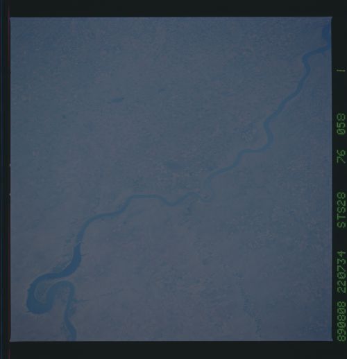
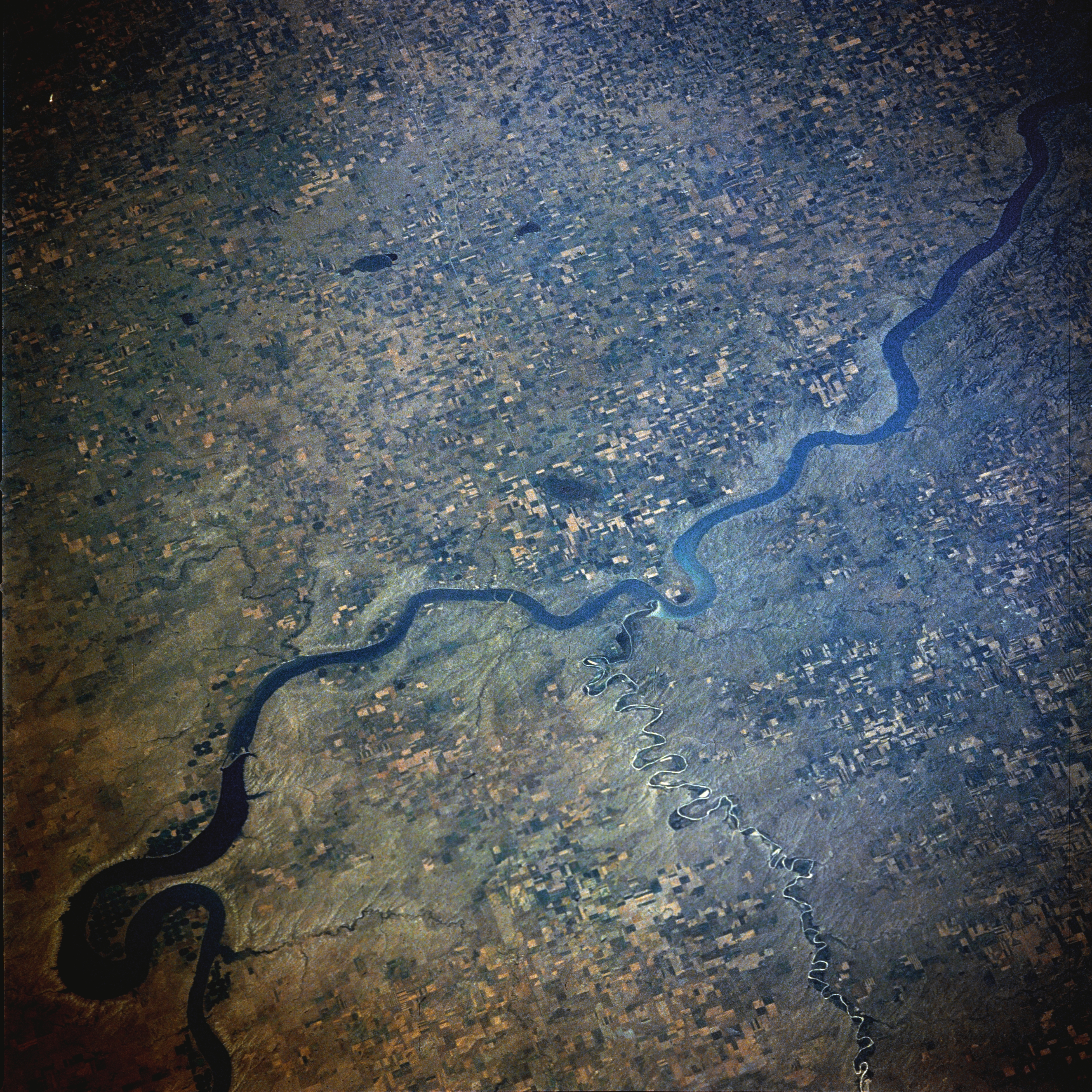
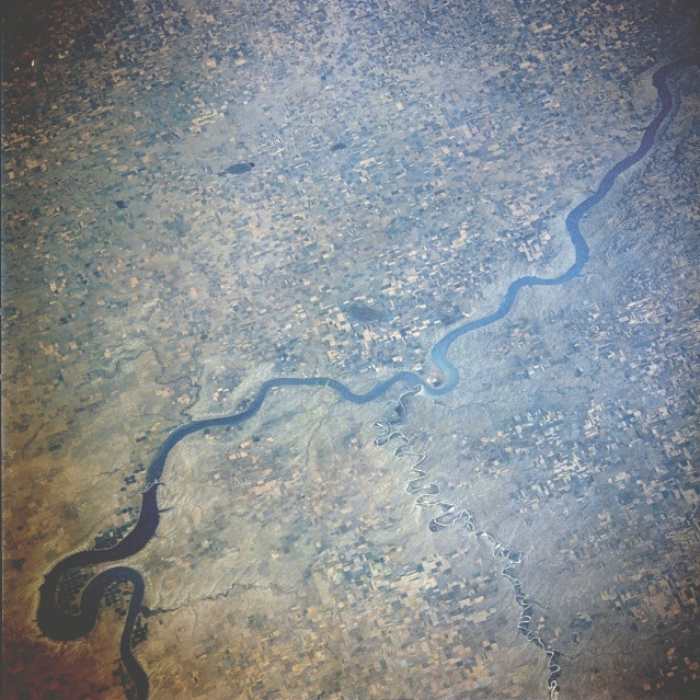
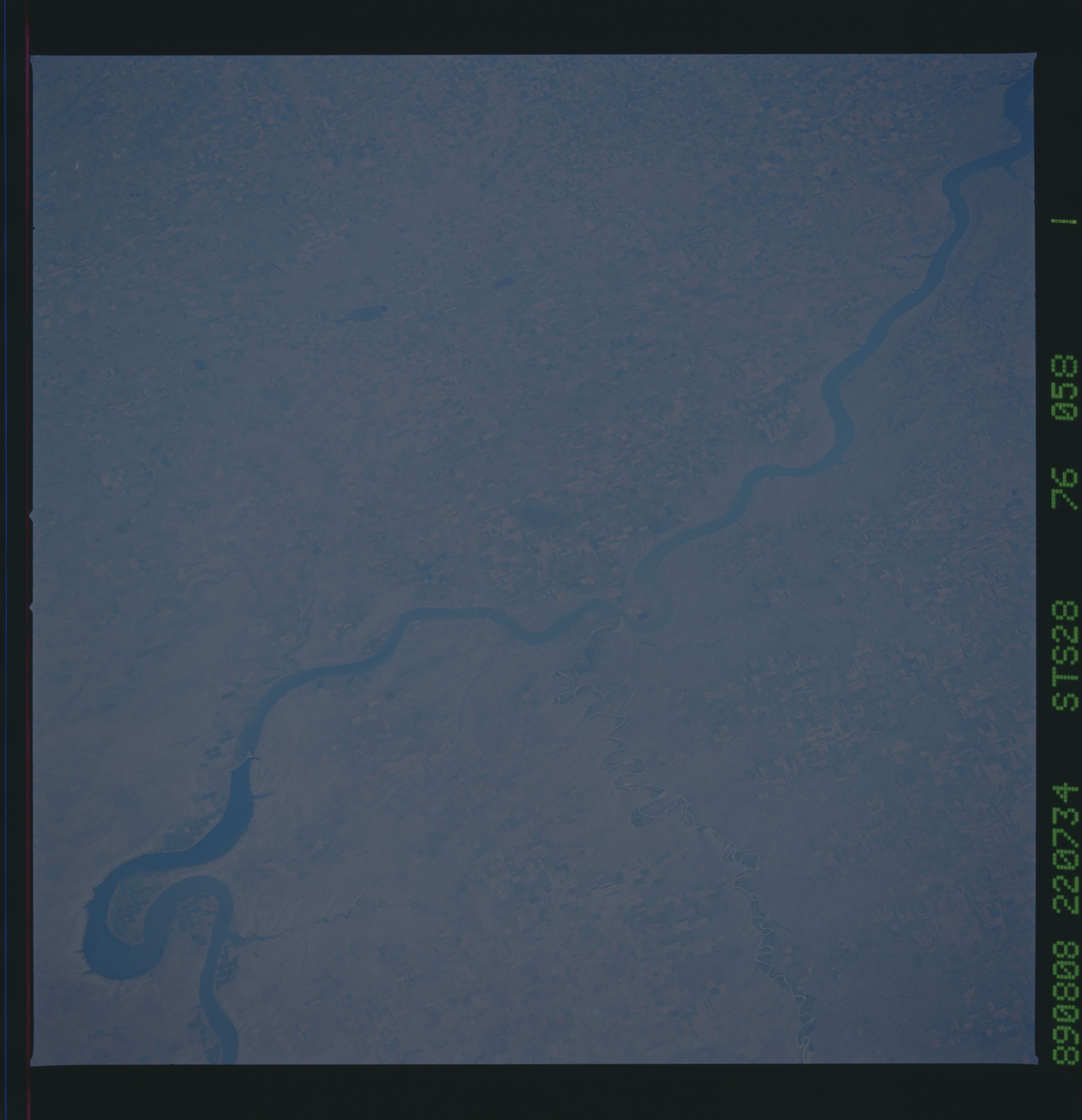
Image Caption: STS028-076-058 Lake Francis Case, South Dakota, U.S.A. August 1989
Lake Francis Case, 150 miles (242 kilometers) long, is visible in this east-looking, low-oblique photograph. Fort Randall Dam (not visible) that impounds the waters of Lake Francis Case was completed in 1952. The dam and lake provide hydroelectric power, water for irrigation, flood control, and recreation. The White River enters Lake Francis Case with white silt brought downstream from the badlands farther west. Visible to the north is the big bend of the Missouri River near which are center-pivot irrigation fields.
Lake Francis Case, 150 miles (242 kilometers) long, is visible in this east-looking, low-oblique photograph. Fort Randall Dam (not visible) that impounds the waters of Lake Francis Case was completed in 1952. The dam and lake provide hydroelectric power, water for irrigation, flood control, and recreation. The White River enters Lake Francis Case with white silt brought downstream from the badlands farther west. Visible to the north is the big bend of the Missouri River near which are center-pivot irrigation fields.

