STS028-76-3
| NASA Photo ID | STS028-76-3 |
| Focal Length | 250mm |
| Date taken | 1989.08.08 |
| Time taken | 20:33:31 GMT |
Resolutions offered for this image:
3904 x 3802 pixels 639 x 623 pixels 5700 x 5900 pixels 500 x 518 pixels 640 x 480 pixels
3904 x 3802 pixels 639 x 623 pixels 5700 x 5900 pixels 500 x 518 pixels 640 x 480 pixels
Cloud masks available for this image:
Spacecraft nadir point: 52.0° N, 96.4° W
Photo center point: 49.0° N, 100.0° W
Photo center point by machine learning:
Photo center point: 49.0° N, 100.0° W
Photo center point by machine learning:
Nadir to Photo Center: Southwest
Spacecraft Altitude: 163 nautical miles (302km)
Country or Geographic Name: | USA-NORTH DAKOTA |
Features: | PEACE GARDEN |
| Features Found Using Machine Learning: | |
Cloud Cover Percentage: | 0 (no clouds present) |
Sun Elevation Angle: | 47° |
Sun Azimuth: | 226° |
Camera: | Hasselblad |
Focal Length: | 250mm |
Camera Tilt: | High Oblique |
Format: | 5017: Kodak, natural color positive, Ektachrome, X Professional, ASA 64, standard base |
Film Exposure: | Normal |
| Additional Information | |
| Width | Height | Annotated | Cropped | Purpose | Links |
|---|---|---|---|---|---|
| 3904 pixels | 3802 pixels | No | No | Earth From Space collection | Download Image |
| 639 pixels | 623 pixels | No | No | Earth From Space collection | Download Image |
| 5700 pixels | 5900 pixels | No | No | Download Image | |
| 500 pixels | 518 pixels | No | No | Download Image | |
| 640 pixels | 480 pixels | No | No | Download Image |
Download Packaged File
Download a Google Earth KML for this Image
View photo footprint information
Download a GeoTIFF for this photo
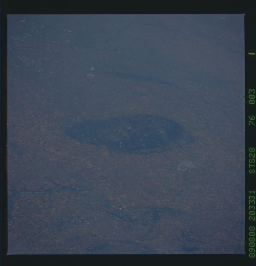
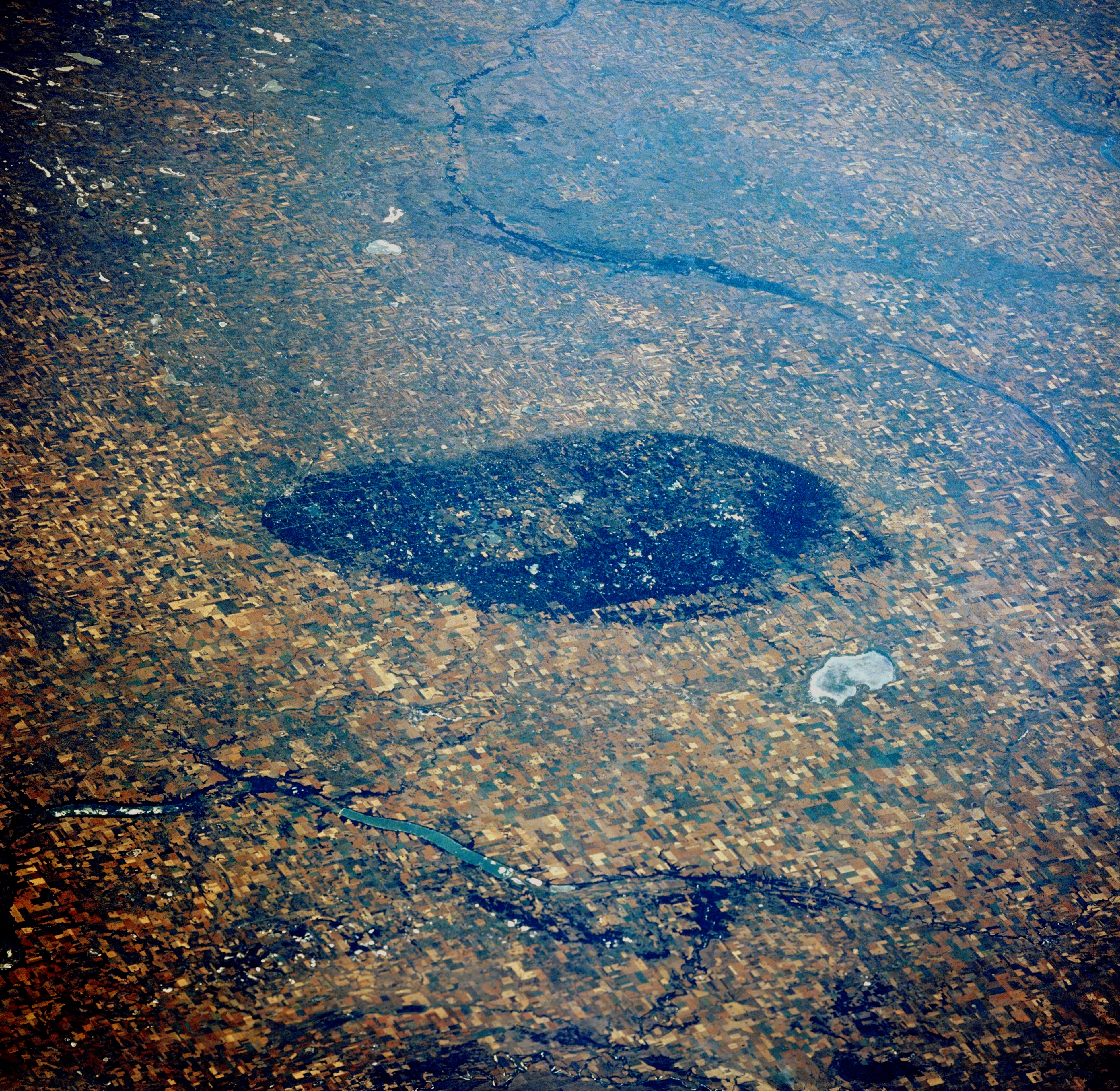
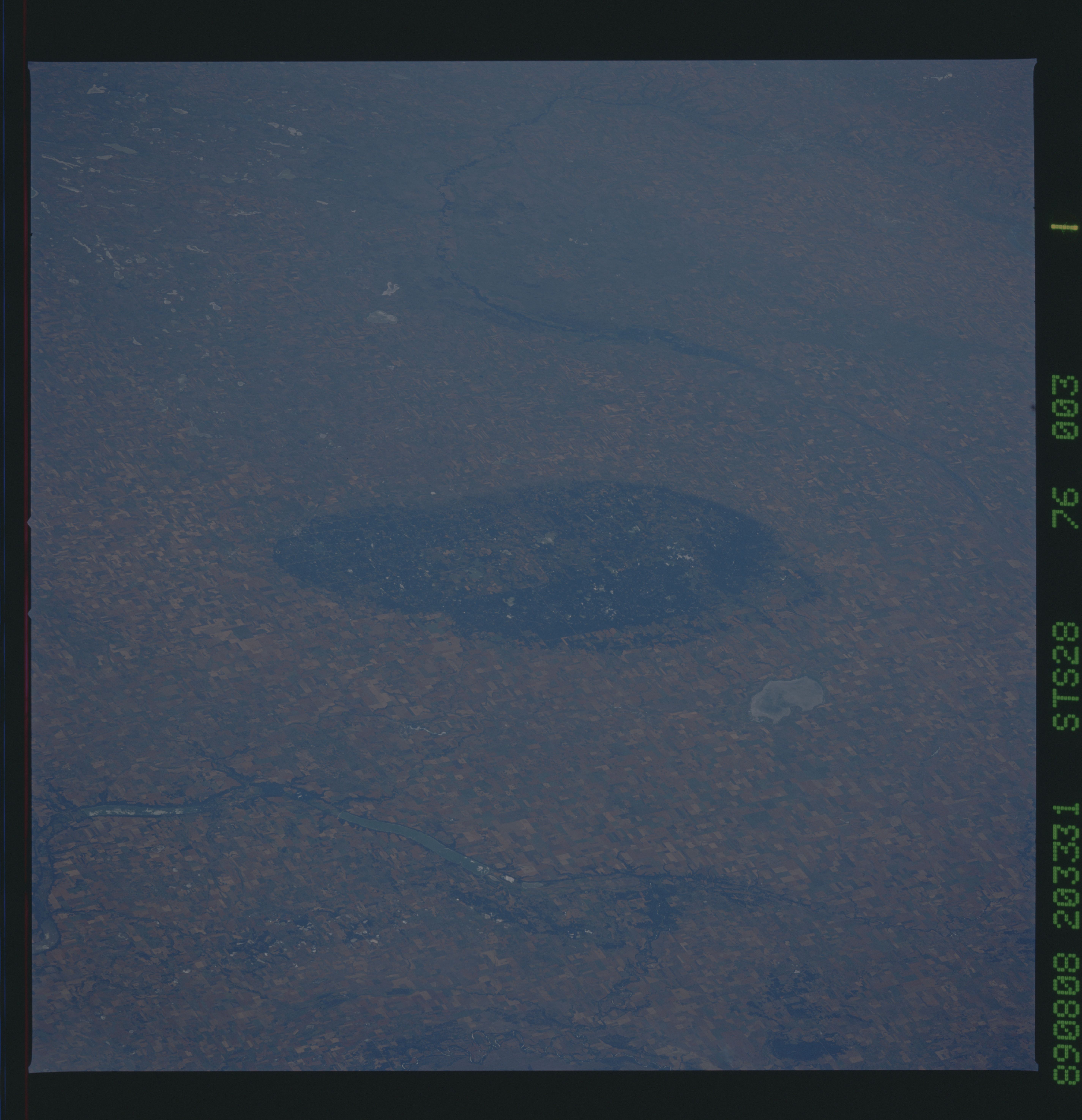
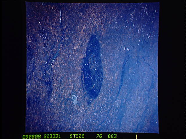
Image Caption: STS028-076-003 International Peace Garden, Manitoba, Canada August 1989
The roughly oval-shaped, large dark feature in the center of the picture is the International Peace Garden. This international park (Canada-U.S.) straddles the 49th parallel with the larger area located in northern North Dakota and the smaller area located in southwestern Manitoba. The Peace Garden is a slightly elevated, forested region that has many small lakes (not visible on this image) scattered throughout the boundaries of the park. The largest gray -looking feature north of the Peace Garden is Whitewater Lake. While most of the terrain is covered by large wheat fields, the Pembina River, including Pelican Lake is visible on the Canadian side of the border and the Souris River channel (thin dark linear feature southwest of the Peace Garden) can be traced across the North Dakota landscape.
The roughly oval-shaped, large dark feature in the center of the picture is the International Peace Garden. This international park (Canada-U.S.) straddles the 49th parallel with the larger area located in northern North Dakota and the smaller area located in southwestern Manitoba. The Peace Garden is a slightly elevated, forested region that has many small lakes (not visible on this image) scattered throughout the boundaries of the park. The largest gray -looking feature north of the Peace Garden is Whitewater Lake. While most of the terrain is covered by large wheat fields, the Pembina River, including Pelican Lake is visible on the Canadian side of the border and the Souris River channel (thin dark linear feature southwest of the Peace Garden) can be traced across the North Dakota landscape.

