STS028-72-54

| NASA Photo ID | STS028-72-54 |
| Focal Length | 250mm |
| Date taken | 1989.08.08 |
| Time taken | 17:22:15 GMT |
Resolutions offered for this image:
3904 x 3886 pixels 639 x 637 pixels 5700 x 5900 pixels 4000 x 4059 pixels 500 x 518 pixels 640 x 480 pixels
3904 x 3886 pixels 639 x 637 pixels 5700 x 5900 pixels 4000 x 4059 pixels 500 x 518 pixels 640 x 480 pixels

Cloud masks available for this image:
Spacecraft nadir point: 52.2° N, 116.0° W
Photo center point: 52.0° N, 116.5° W
Photo center point by machine learning:
Photo center point: 52.0° N, 116.5° W
Photo center point by machine learning:
Nadir to Photo Center: West
Spacecraft Altitude: 161 nautical miles (298km)
Country or Geographic Name: | CANADA-A |
Features: | SASKATCHEWAN RIVER |
| Features Found Using Machine Learning: | |
Cloud Cover Percentage: | 5 (1-10)% |
Sun Elevation Angle: | 44° |
Sun Azimuth: | 127° |
Camera: | Hasselblad |
Focal Length: | 250mm |
Camera Tilt: | 11 degrees |
Format: | 5017: Kodak, natural color positive, Ektachrome, X Professional, ASA 64, standard base |
Film Exposure: | Normal |
| Additional Information | |
| Width | Height | Annotated | Cropped | Purpose | Links |
|---|---|---|---|---|---|
| 3904 pixels | 3886 pixels | No | No | Earth From Space collection | Download Image |
| 639 pixels | 637 pixels | No | No | Earth From Space collection | Download Image |
| 5700 pixels | 5900 pixels | No | No | Download Image | |
| 4000 pixels | 4059 pixels | No | No | Scientist Request | Download Image |
| 500 pixels | 518 pixels | No | No | Download Image | |
| 640 pixels | 480 pixels | No | No | Download Image |
Download Packaged File
Download a Google Earth KML for this Image
View photo footprint information
Download a GeoTIFF for this photo
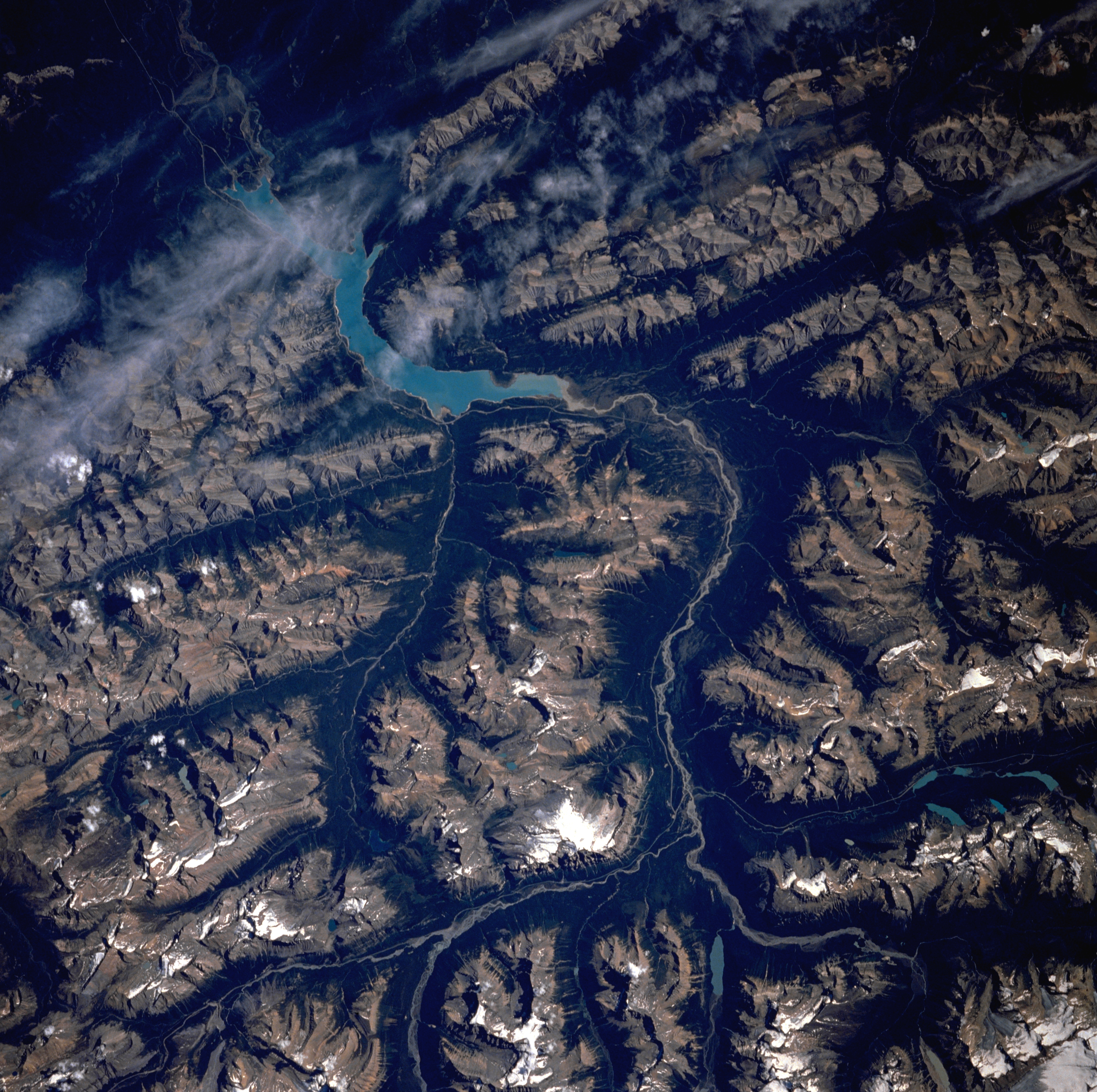
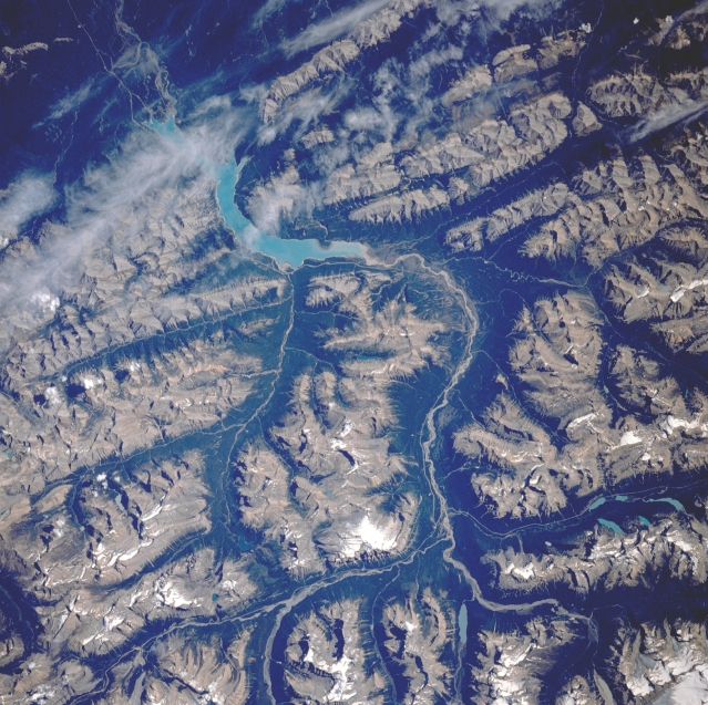
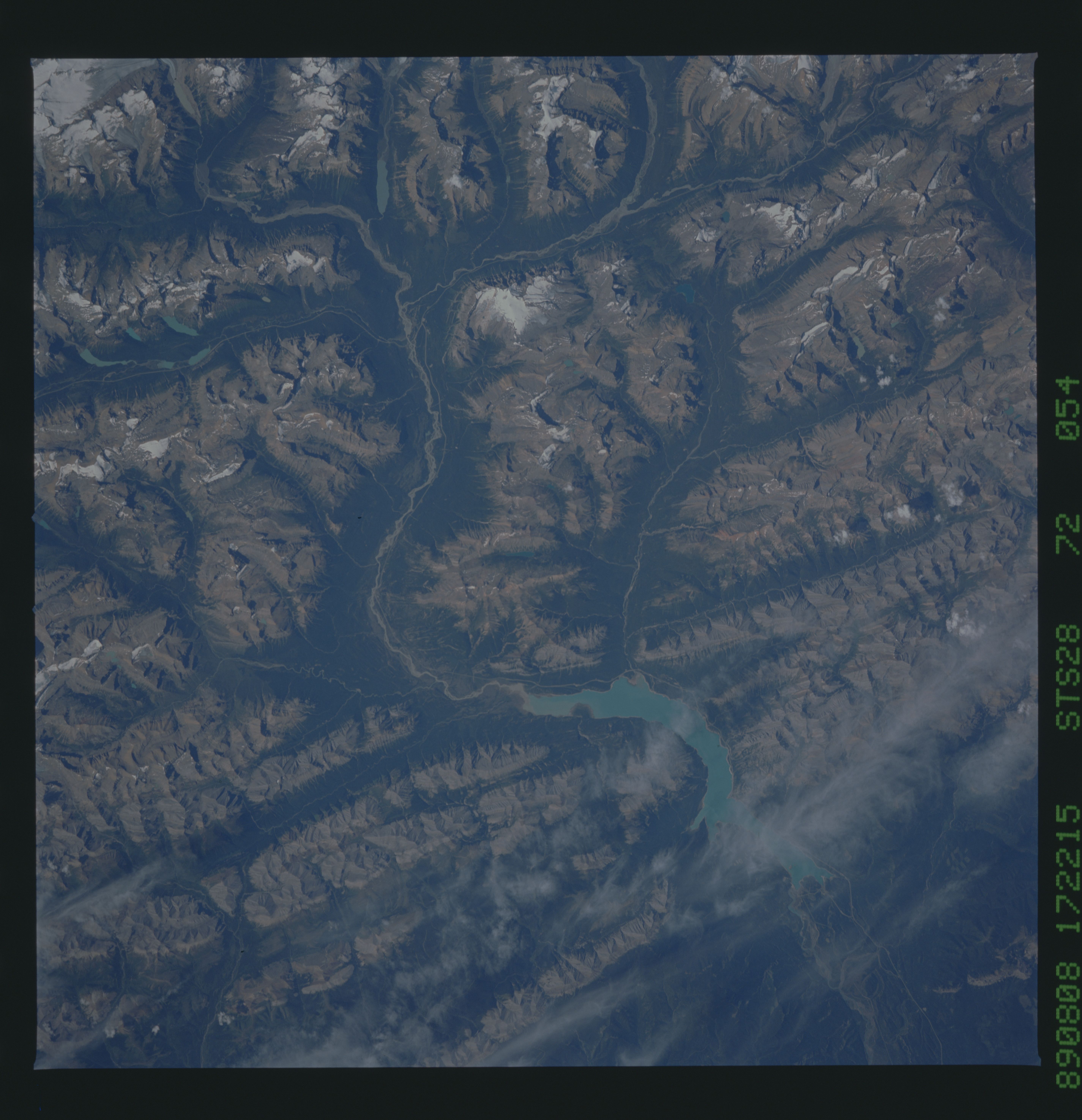
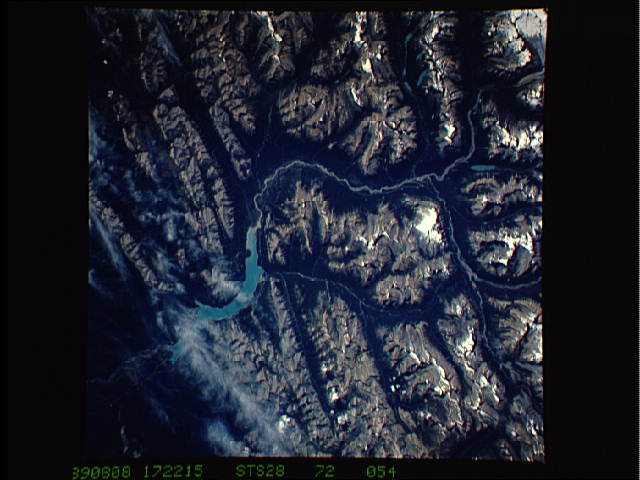
Image Caption: STS028-072-054 North Saskatchewan River, Alberta, Canada August 1989
White, snow capped peaks visible towards the bottom of the image exceed 10000 feet (3050 meters) above sea level in this section of the Canadian Rocky Mountains west of Red Deer. Many deeply incised streams and valleys present a spectacular appearance in this mountain setting. The darker valley areas are the result of topographically lower, forested slopes. Highway 11 is visible as a light-colored, linear feature along the north (left) side of the river near the center of the image. Several tributary streams can be seen flowing into the North Saskatchewan River (center of image) as it flows northeast (upper left) through the mountains.
White, snow capped peaks visible towards the bottom of the image exceed 10000 feet (3050 meters) above sea level in this section of the Canadian Rocky Mountains west of Red Deer. Many deeply incised streams and valleys present a spectacular appearance in this mountain setting. The darker valley areas are the result of topographically lower, forested slopes. Highway 11 is visible as a light-colored, linear feature along the north (left) side of the river near the center of the image. Several tributary streams can be seen flowing into the North Saskatchewan River (center of image) as it flows northeast (upper left) through the mountains.
