STS027-38-12
| NASA Photo ID | STS027-38-12 |
| Focal Length | 250mm |
| Date taken | 1988.12.03 |
| Time taken | 15:34:54 GMT |
Cloud masks available for this image:
Spacecraft nadir point: 38.6° N, 90.3° W
Photo center point: 39.0° N, 96.5° W
Photo center point by machine learning:
Photo center point: 39.0° N, 96.5° W
Photo center point by machine learning:
Nadir to Photo Center: West
Spacecraft Altitude: 241 nautical miles (446km)
Country or Geographic Name: | USA-KANSAS |
Features: | PAN-GREAT PLAINS, RES. |
| Features Found Using Machine Learning: | |
Cloud Cover Percentage: | 0 (no clouds present) |
Sun Elevation Angle: | 21° |
Sun Azimuth: | 146° |
Camera: | Hasselblad |
Focal Length: | 250mm |
Camera Tilt: | High Oblique |
Format: | 5017: Kodak, natural color positive, Ektachrome, X Professional, ASA 64, standard base |
Film Exposure: | Normal |
| Additional Information | |
| Width | Height | Annotated | Cropped | Purpose | Links |
|---|---|---|---|---|---|
| 5700 pixels | 5900 pixels | No | No | Download Image | |
| 500 pixels | 518 pixels | No | No | Download Image | |
| 640 pixels | 480 pixels | No | No | Download Image |
Download Packaged File
Download a Google Earth KML for this Image
View photo footprint information
Download a GeoTIFF for this photo
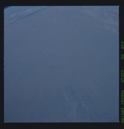
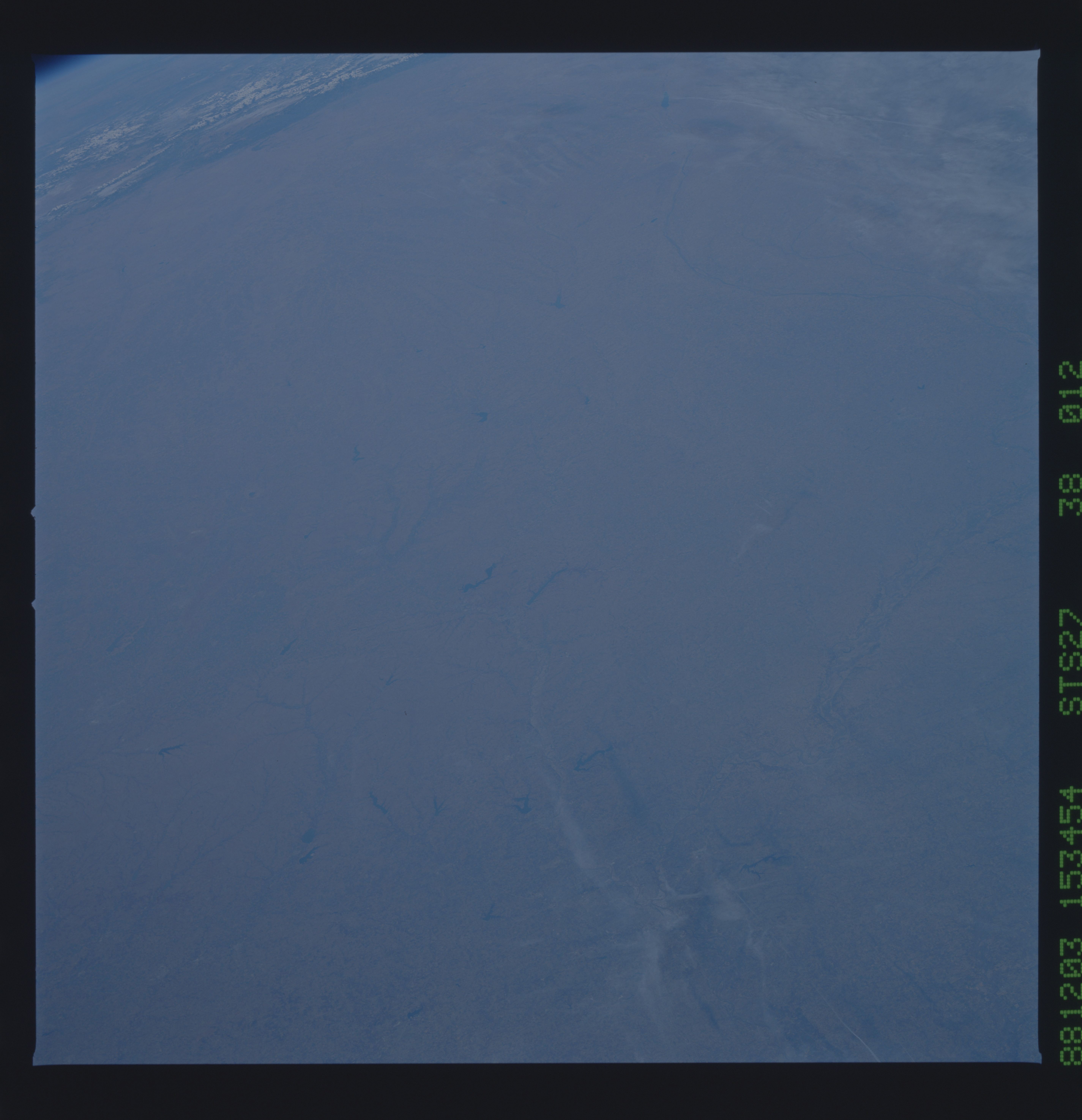
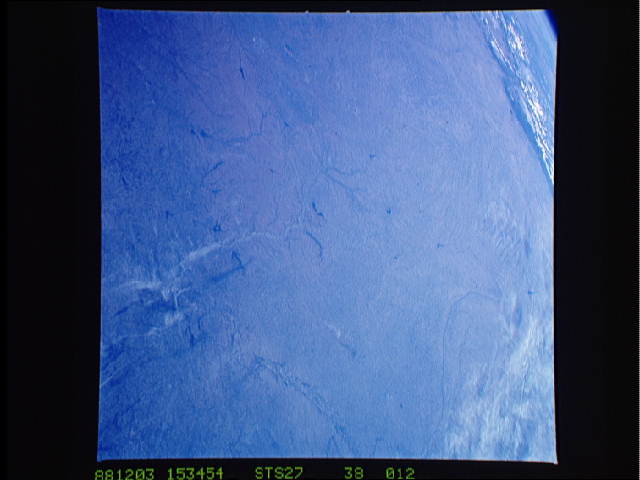
Image Caption:
Konza Prairie lead-in shot: Konza Prairie (arrow) lies east of
the Rockies (top left-- Pueblo-P), south of the Platte River (PR)
and west of the Missouri River (MR). Within northeast Kansas,
the Konza Prairie is best located with respect to two close-
spaced, elongated reservoirs, Milford Res. (M) and Tuttle Creek
Res. (T). It lies south of the Kansas River in the non-
agricultural landscapes of the northern Flint Hills (light brown
areas-FH) Rivers and cities are less help in locating Konza
Prairie: Topeka, Kansas (TK) on the Kansas River (K) and Wichi-
ta, Kansas (WK) are major nearby cities. Kansas City (KC) is
best located by the converging contrails--it can also be located
at the confluence of the Missouri (MR) and Kansas Rivers (K).
(S27-38-012)
