STS027-32-34
| NASA Photo ID | STS027-32-34 |
| Focal Length | 100mm |
| Date taken | 1988.12.02 |
| Time taken | 19:01:02 GMT |
Resolutions offered for this image:
5700 x 5900 pixels 500 x 518 pixels 640 x 480 pixels 3410 x 3350 pixels 1902 x 1181 pixels 4800 x 4800 pixels 540 x 335 pixels
5700 x 5900 pixels 500 x 518 pixels 640 x 480 pixels 3410 x 3350 pixels 1902 x 1181 pixels 4800 x 4800 pixels 540 x 335 pixels


Cloud masks available for this image:
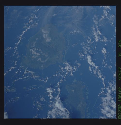
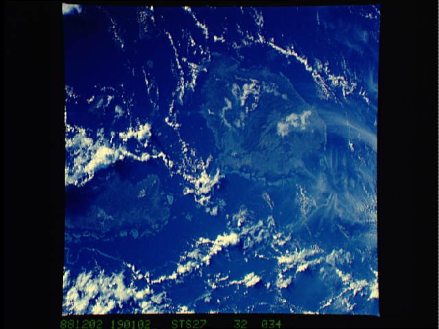
Spacecraft nadir point: 16.4° S, 179.4° W
Photo center point: 17.5° S, 178.5° W
Photo center point by machine learning:
Photo center point: 17.5° S, 178.5° W
Photo center point by machine learning:
Nadir to Photo Center: Southeast
Spacecraft Altitude: 241 nautical miles (446km)
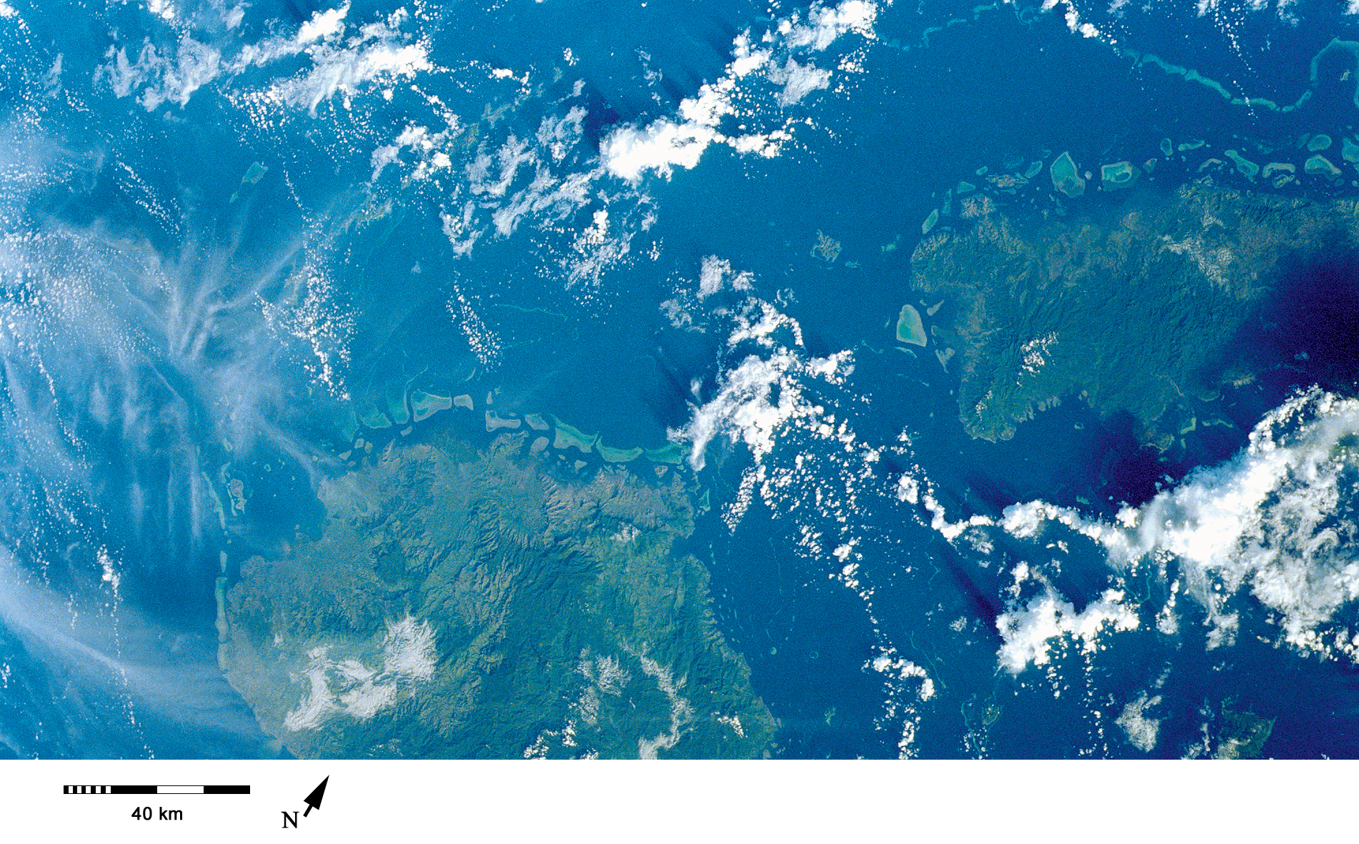
Country or Geographic Name: | FIJI ISLANDS |
Features: | VITI LEVU |
| Features Found Using Machine Learning: | |
Cloud Cover Percentage: | 40 (26-50)% |
Sun Elevation Angle: | 23° |
Sun Azimuth: | 108° |
Camera: | Hasselblad |
Focal Length: | 100mm |
Camera Tilt: | 19 degrees |
Format: | 5017: Kodak, natural color positive, Ektachrome, X Professional, ASA 64, standard base |
Film Exposure: | Normal |
| Additional Information | |
| Width | Height | Annotated | Cropped | Purpose | Links |
|---|---|---|---|---|---|
| 5700 pixels | 5900 pixels | No | No | Download Image | |
| 500 pixels | 518 pixels | No | No | Download Image | |
| 640 pixels | 480 pixels | No | No | Download Image | |
| 3410 pixels | 3350 pixels | ReefBase pilot | Download Image | ||
| 1902 pixels | 1181 pixels | Yes | Yes | Publisher Request | Download Image |
| 4800 pixels | 4800 pixels | No | No | Download Image | |
| 540 pixels | 335 pixels | Publisher Request | Download Image |
Download Packaged File
Download a Google Earth KML for this Image
View photo footprint information
Download a GeoTIFF for this photo
Image Caption: This broad view shows northern Viti Levu and western Vanua Levu, including the complex platform reef structures along the northern shores of both islands [STS027-32-34, 1988].
