STS027-152-8
| NASA Photo ID | STS027-152-8 |
| Focal Length | 90mm |
| Date taken | 1988.12.04 |
| Time taken | 05:35:00 GMT |
Cloud masks available for this image:
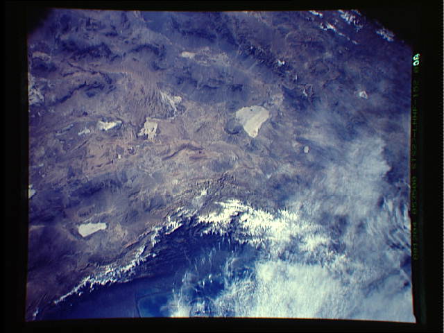
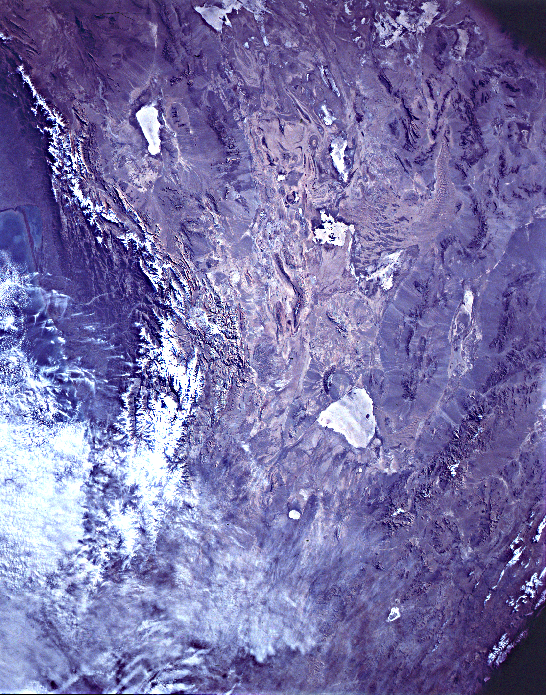
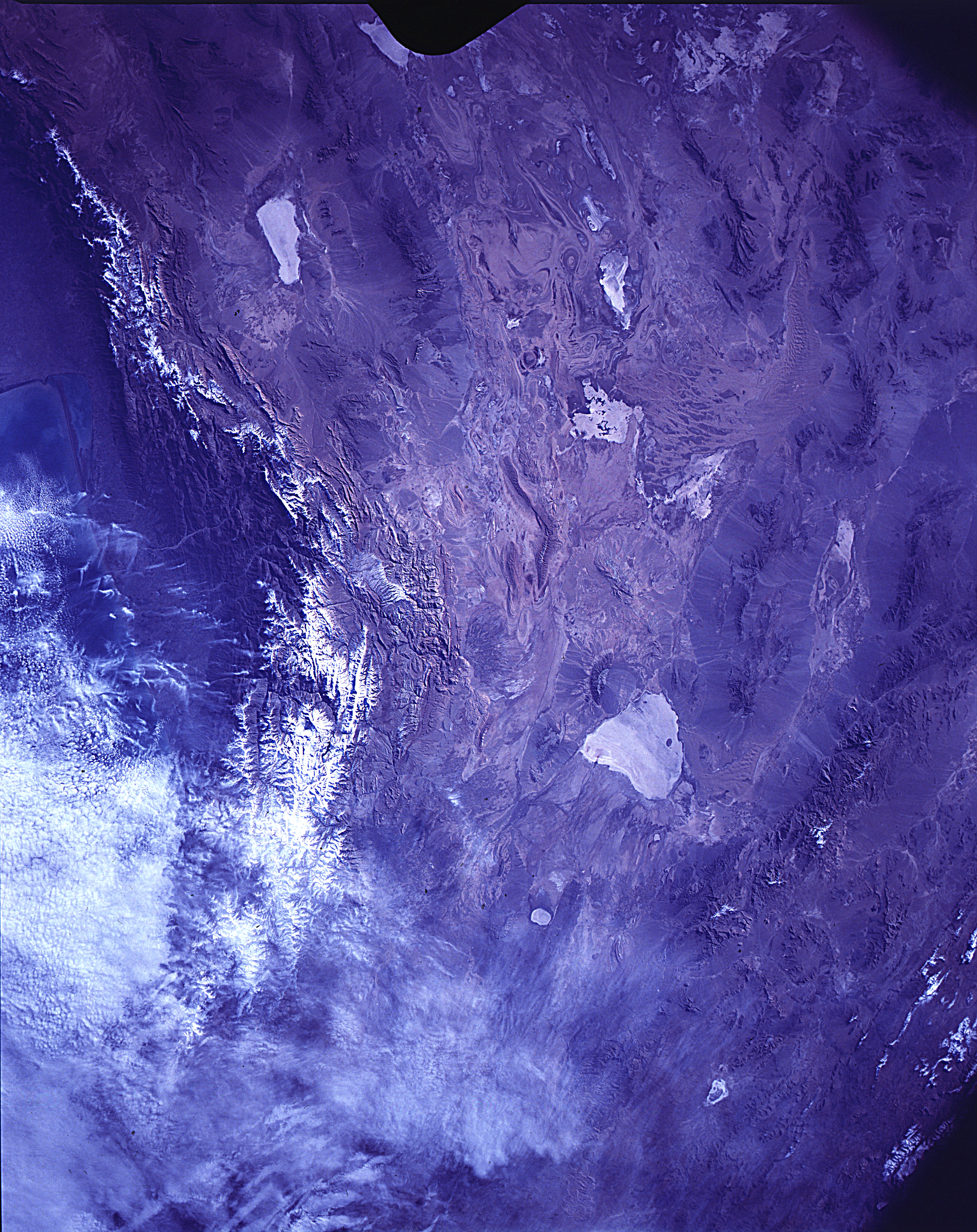
Spacecraft nadir point: 35.5° N, 52.9° E
Photo center point: 35.0° N, 52.5° E
Photo center point by machine learning:
Photo center point: 35.0° N, 52.5° E
Photo center point by machine learning:
Nadir to Photo Center: Southwest
Spacecraft Altitude: 240 nautical miles (444km)
Country or Geographic Name: | IRAN |
Features: | ELBURZ MTS, DASHT-E KAVIR |
| Features Found Using Machine Learning: | |
Cloud Cover Percentage: | 30 (26-50)% |
Sun Elevation Angle: | 21° |
Sun Azimuth: | 140° |
Camera: | Linhof |
Focal Length: | 90mm |
Camera Tilt: | 9 degrees |
Format: | 5017: Kodak, natural color positive, Ektachrome, X Professional, ASA 64, standard base |
Film Exposure: | Normal |
| Additional Information | |
| Width | Height | Annotated | Cropped | Purpose | Links |
|---|---|---|---|---|---|
| 640 pixels | 480 pixels | No | No | ISD 1 | Download Image |
| 1115 pixels | 1418 pixels | No | No | Download Image | |
| 2262 pixels | 2852 pixels | Download Image |
Download Packaged File
Download a Google Earth KML for this Image
View photo footprint information
Download a GeoTIFF for this photo
Image Caption: none
