STS026-48-46

| NASA Photo ID | STS026-48-46 |
| Focal Length | 250mm |
| Date taken | 1988.10.02 |
| Time taken | 19:36:41 GMT |
Cloud masks available for this image:
Spacecraft nadir point: 0.8° N, 76.0° W
Photo center point: 0.0° N, 77.0° W
Photo center point by machine learning:
Photo center point: 0.0° N, 77.0° W
Photo center point by machine learning:
Nadir to Photo Center: Southwest
Spacecraft Altitude: 164 nautical miles (304km)
Country or Geographic Name: | ECUADOR |
Features: | RIO COCA, RIO AGUARICO |
| Features Found Using Machine Learning: | |
Cloud Cover Percentage: | 40 (26-50)% |
Sun Elevation Angle: | 48° |
Sun Azimuth: | 263° |
Camera: | Hasselblad |
Focal Length: | 250mm |
Camera Tilt: | 25 degrees |
Format: | 5036: Kodak, natural color positive, Ektachrome 5036,200 Professional, ASA 200, stand |
Film Exposure: | Normal |
| Additional Information | |
| Width | Height | Annotated | Cropped | Purpose | Links |
|---|---|---|---|---|---|
| 5700 pixels | 5900 pixels | No | No | Download Image | |
| 500 pixels | 518 pixels | No | No | Download Image | |
| 640 pixels | 480 pixels | No | No | Download Image |
Download Packaged File
Download a Google Earth KML for this Image
View photo footprint information
Download a GeoTIFF for this photo
Image Caption:
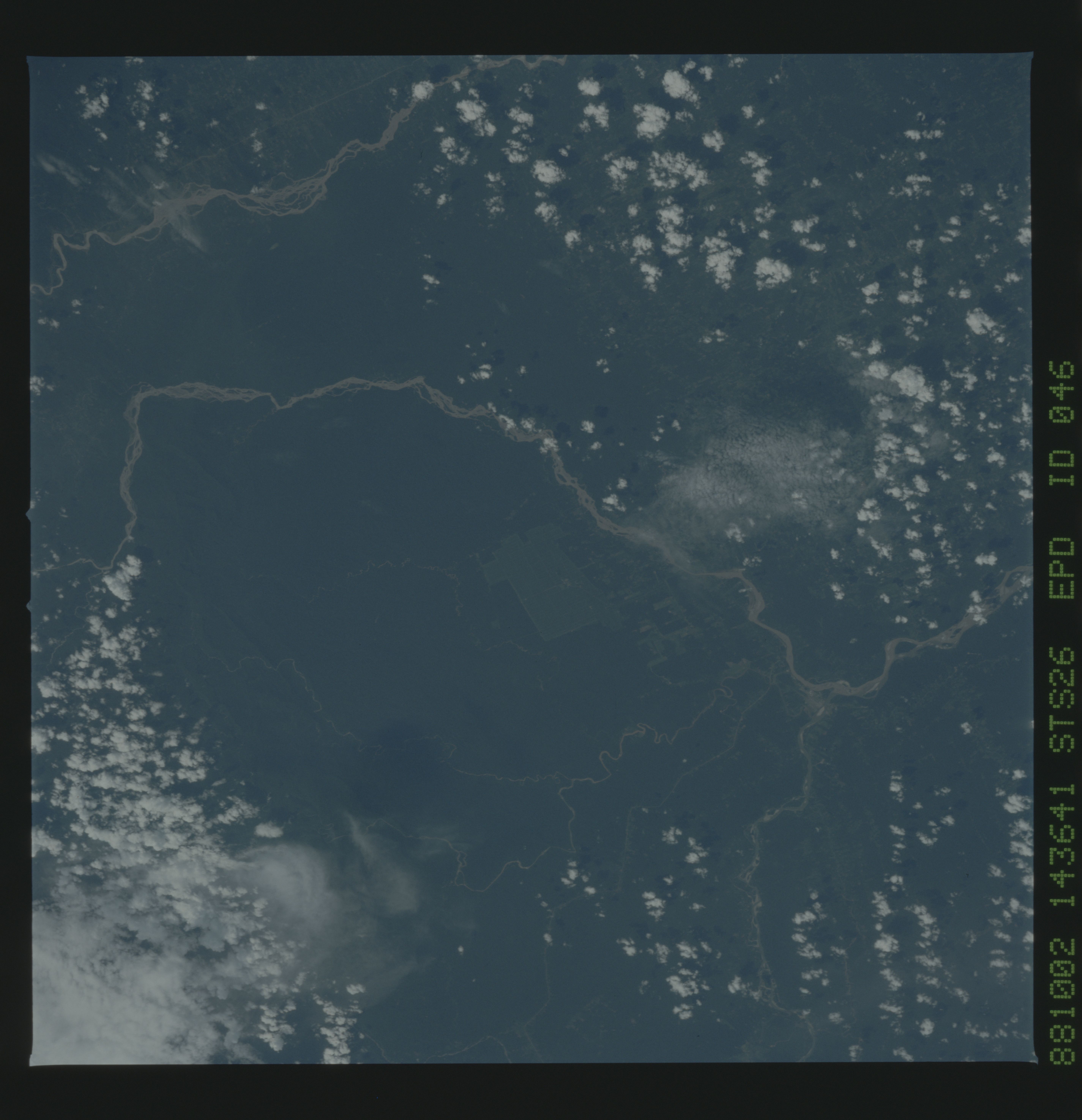
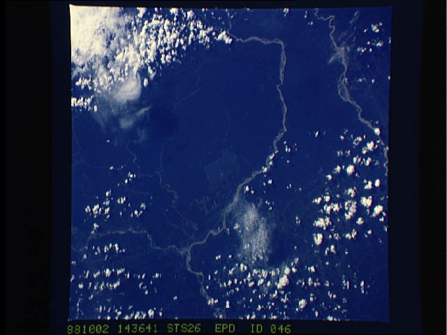
Rio Coca, Ecuador
The Rio Coca and Rio Aguarico are shown in this low oblique
north-looking view. The land use patterns observed in this near-
ly cloud free view of the Andes foothills is unique. No roads are
visible coming into the cleared area, suggesting a possible coca
plantation. Patterns such as this may be visible throughout the
eastern foothills of the Andes Mountains in Colombia, Ecuador,
Peru, and Bolivia. (S26-48-046)
