STS026-45-5
| NASA Photo ID | STS026-45-5 |
| Focal Length | 250mm |
| Date taken | 1988.__.__ |
| Time taken | GMT |
Resolutions offered for this image:
5239 x 5239 pixels 640 x 640 pixels 5700 x 5900 pixels 500 x 518 pixels 640 x 480 pixels
5239 x 5239 pixels 640 x 640 pixels 5700 x 5900 pixels 500 x 518 pixels 640 x 480 pixels

Cloud masks available for this image:
Spacecraft nadir point:
Photo center point: 24.0° N, 23.5° E
Photo center point by machine learning:
Photo center point: 24.0° N, 23.5° E
Photo center point by machine learning:
Nadir to Photo Center:
Spacecraft Altitude: nautical miles (0km)
Country or Geographic Name: | LIBYA |
Features: | KUFRA OASIS, PIVOT IRRIG |
| Features Found Using Machine Learning: | |
Cloud Cover Percentage: | 0 (no clouds present) |
Sun Elevation Angle: | ° |
Sun Azimuth: | ° |
Camera: | Hasselblad |
Focal Length: | 250mm |
Camera Tilt: | Near Vertical |
Format: | 5017: Kodak, natural color positive, Ektachrome, X Professional, ASA 64, standard base |
Film Exposure: | Normal |
| Additional Information | |
| Width | Height | Annotated | Cropped | Purpose | Links |
|---|---|---|---|---|---|
| 5239 pixels | 5239 pixels | No | No | Earth From Space collection | Download Image |
| 640 pixels | 640 pixels | No | No | Earth From Space collection | Download Image |
| 5700 pixels | 5900 pixels | No | No | Download Image | |
| 500 pixels | 518 pixels | No | No | Download Image | |
| 640 pixels | 480 pixels | No | No | Download Image |
Download Packaged File
Download a Google Earth KML for this Image
View photo footprint information
Download a GeoTIFF for this photo
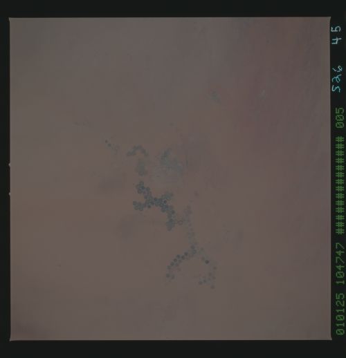
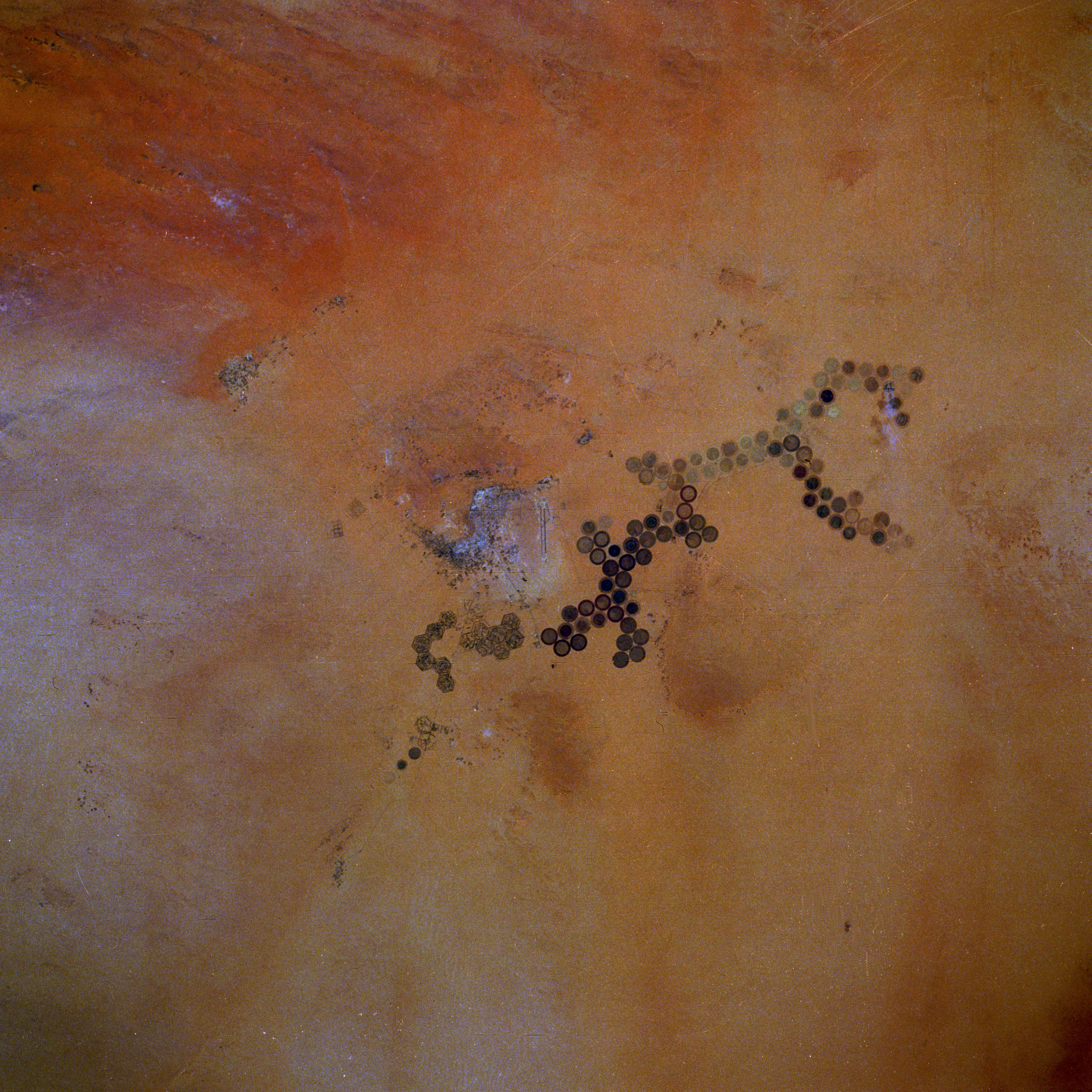
Image Caption: STS026-045-005 Al Khufrah Oasis, Libya October 1988
Circular features in the desert, which almost always indicate irrigated agriculture, appear in this near-vertical photograph of the Al Khufrah Oasis in southeastern Libya. This center-pivot irrigation system uses ground water that is pumped under pressure into a gantry or tubular arm from a central source. Anchored by a central pivot, the gantry slowly rotates over the area to be irrigated, thereby producing the circular patterns. Although the field diameters vary, these fields are approximately 0.6 mile (1 kilometer) in diameter. Darker colors indicate fields where such crops as wheat and alfalfa are grown; lighter colors show fields that have been harvested recently; fields that are lying fallow, fields that have just been planted, or fields that have been taken out of production. Because hot, dry winds have a devastating effect on plants and livestock in this desert environment, adequate water and suitable soils are not always sufficient for agriculture and livestock production. Visible are a long, north-south-aligned airport runway in the center of the photograph and hexagonal features southwest of the airport runway that are perhaps either more desert agriculture (without center-pivot irrigation) or military sites.
Circular features in the desert, which almost always indicate irrigated agriculture, appear in this near-vertical photograph of the Al Khufrah Oasis in southeastern Libya. This center-pivot irrigation system uses ground water that is pumped under pressure into a gantry or tubular arm from a central source. Anchored by a central pivot, the gantry slowly rotates over the area to be irrigated, thereby producing the circular patterns. Although the field diameters vary, these fields are approximately 0.6 mile (1 kilometer) in diameter. Darker colors indicate fields where such crops as wheat and alfalfa are grown; lighter colors show fields that have been harvested recently; fields that are lying fallow, fields that have just been planted, or fields that have been taken out of production. Because hot, dry winds have a devastating effect on plants and livestock in this desert environment, adequate water and suitable soils are not always sufficient for agriculture and livestock production. Visible are a long, north-south-aligned airport runway in the center of the photograph and hexagonal features southwest of the airport runway that are perhaps either more desert agriculture (without center-pivot irrigation) or military sites.

