STS026-44-37
| NASA Photo ID | STS026-44-37 |
| Focal Length | 250mm |
| Date taken | 1988.__.__ |
| Time taken | GMT |
Resolutions offered for this image:
3936 x 3904 pixels 639 x 634 pixels 5700 x 5900 pixels 500 x 518 pixels 640 x 480 pixels
3936 x 3904 pixels 639 x 634 pixels 5700 x 5900 pixels 500 x 518 pixels 640 x 480 pixels
Cloud masks available for this image:
Spacecraft nadir point:
Photo center point: 28.0° N, 98.0° W
Photo center point by machine learning:
Photo center point: 28.0° N, 98.0° W
Photo center point by machine learning:
Nadir to Photo Center:
Spacecraft Altitude: nautical miles (0km)
Country or Geographic Name: | USA-TEXAS |
Features: | ALICE, L. CORPUS CHRISTI |
| Features Found Using Machine Learning: | |
Cloud Cover Percentage: | 0 (no clouds present) |
Sun Elevation Angle: | ° |
Sun Azimuth: | ° |
Camera: | Hasselblad |
Focal Length: | 250mm |
Camera Tilt: | Near Vertical |
Format: | 5017: Kodak, natural color positive, Ektachrome, X Professional, ASA 64, standard base |
Film Exposure: | Normal |
| Additional Information | |
| Width | Height | Annotated | Cropped | Purpose | Links |
|---|---|---|---|---|---|
| 3936 pixels | 3904 pixels | No | No | Earth From Space collection | Download Image |
| 639 pixels | 634 pixels | No | No | Earth From Space collection | Download Image |
| 5700 pixels | 5900 pixels | No | No | Download Image | |
| 500 pixels | 518 pixels | No | No | Download Image | |
| 640 pixels | 480 pixels | No | No | Download Image |
Download Packaged File
Download a Google Earth KML for this Image
View photo footprint information
Download a GeoTIFF for this photo
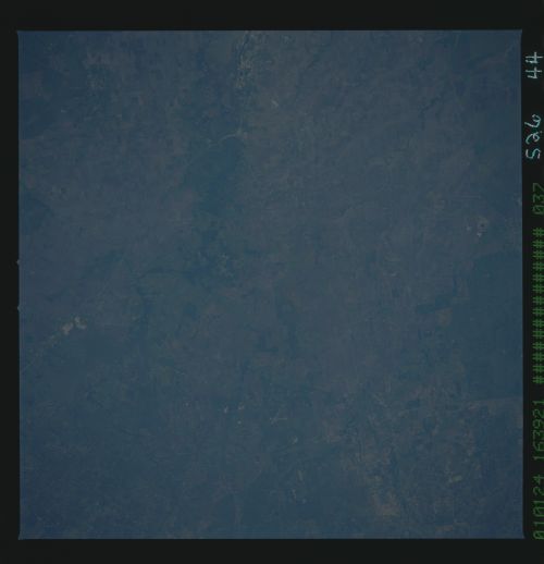
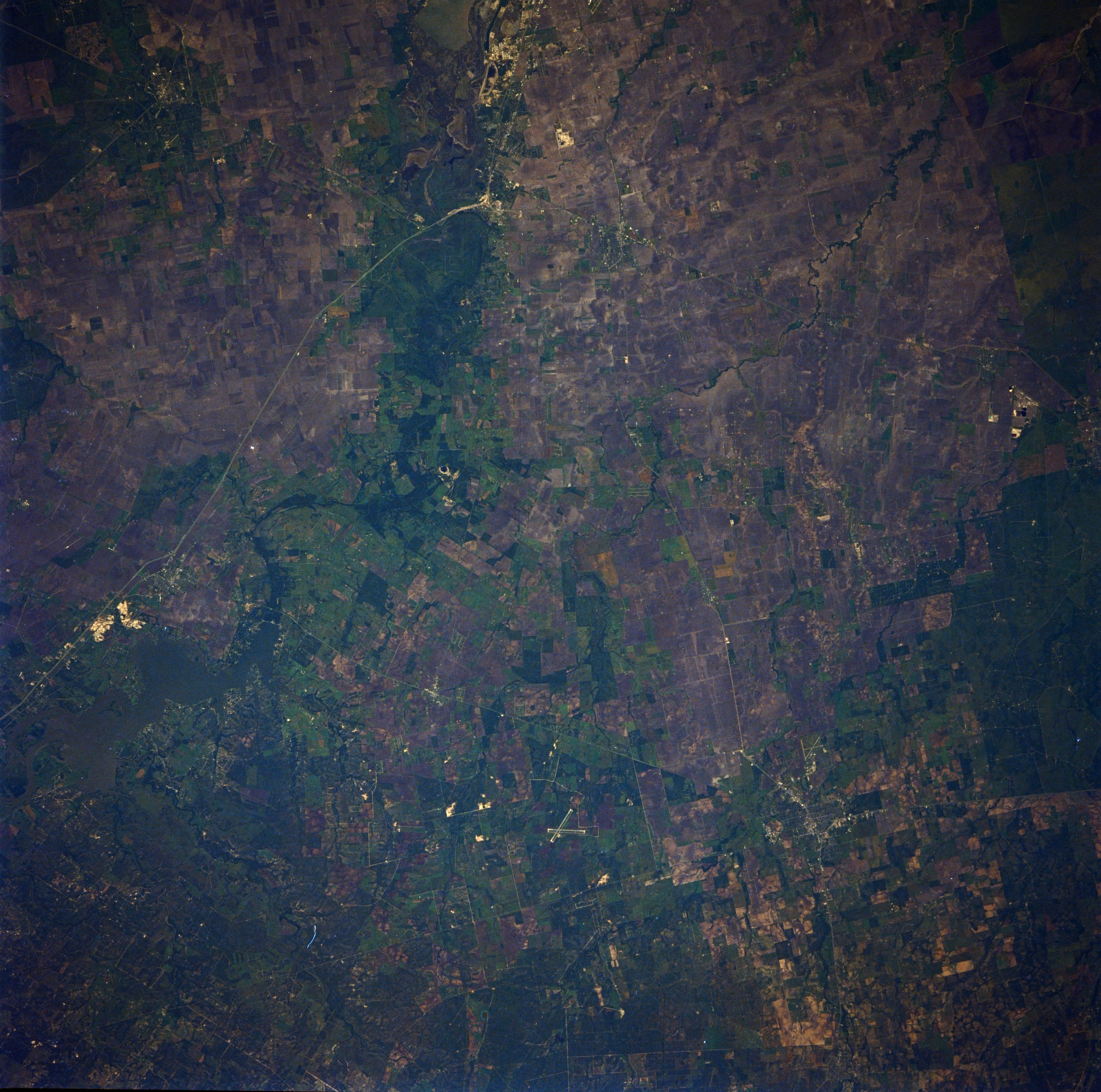
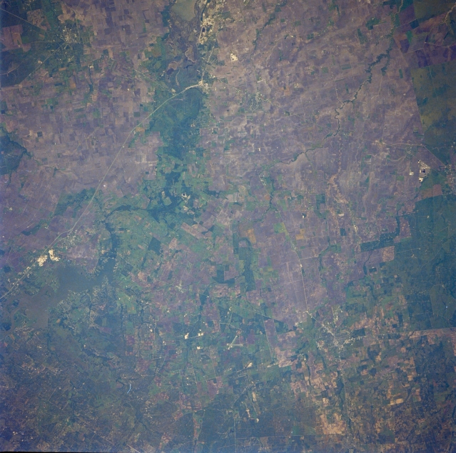
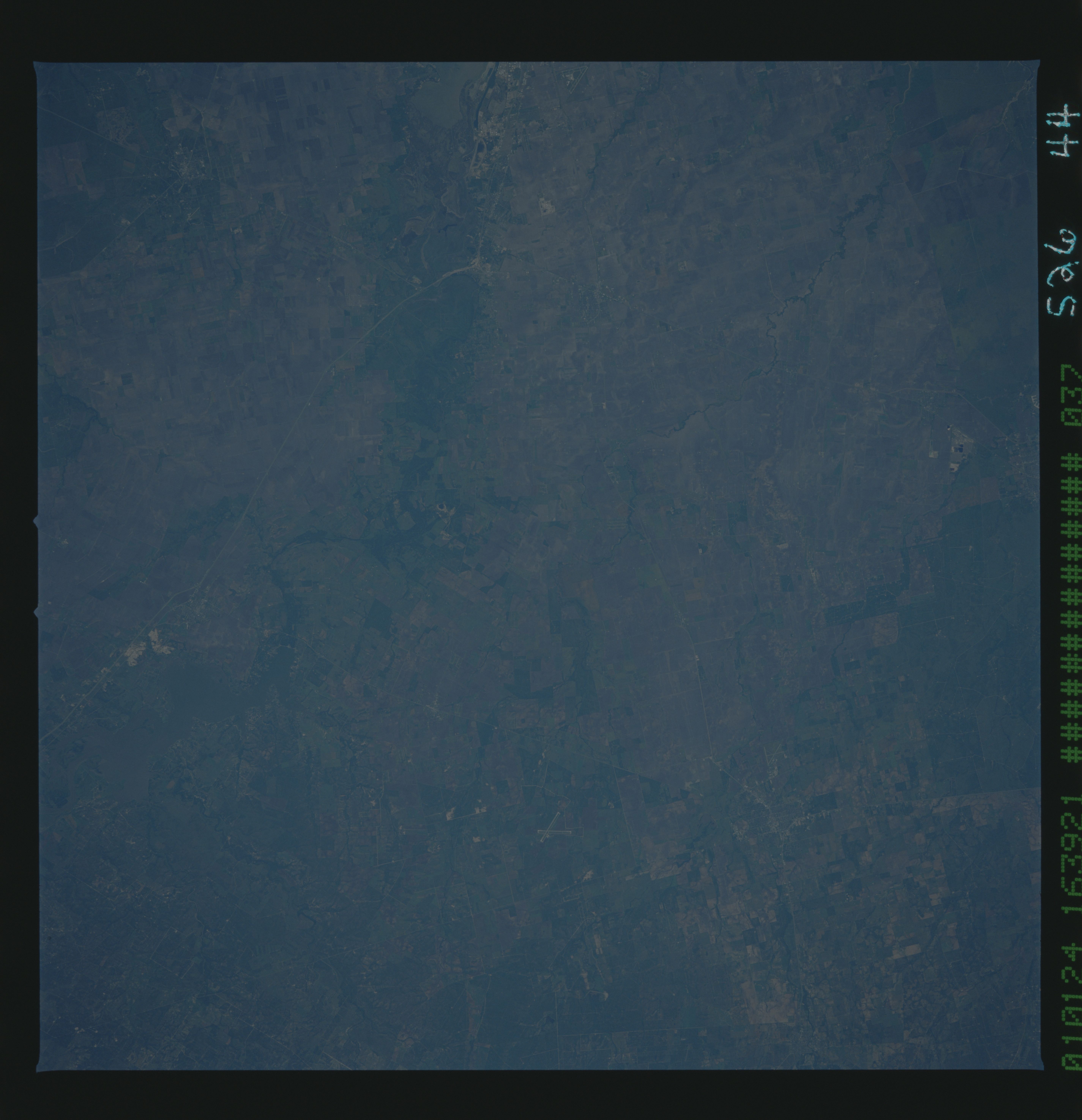
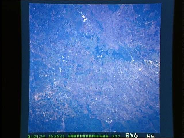
Image Caption: STS026-044-037 Lake Corpus Christi and Alice, Texas, U.S.A. October 1988
Apparent in this east-looking photograph of rural south Texas is a lack of overall contrast. Visible are several manmade features--Interstate Highway 37, which connects San Antonio and Corpus Christi, and two intersecting airport runways (bottom center), south of which lies the small town of Alice. A swath of green vegetation identifies the watercourse of the Nueces River and Lake Corpus Christi (barely discernible) within its floodplain (left edge). Most of the nongreen areas are agricultural lands that have been harvested.
Apparent in this east-looking photograph of rural south Texas is a lack of overall contrast. Visible are several manmade features--Interstate Highway 37, which connects San Antonio and Corpus Christi, and two intersecting airport runways (bottom center), south of which lies the small town of Alice. A swath of green vegetation identifies the watercourse of the Nueces River and Lake Corpus Christi (barely discernible) within its floodplain (left edge). Most of the nongreen areas are agricultural lands that have been harvested.
