STS026-43-80
| NASA Photo ID | STS026-43-80 |
| Focal Length | 250mm |
| Date taken | 1988.10.01 |
| Time taken | 21:03:47 GMT |
Cloud masks available for this image:
Spacecraft nadir point: 12.5° S, 64.2° W
Photo center point:
Photo center point by machine learning:
Photo center point:
Photo center point by machine learning:
Nadir to Photo Center:
Spacecraft Altitude: 163 nautical miles (302km)
Camera: | Hasselblad |
Focal Length: | 250mm |
Camera Tilt: | High Oblique |
Format: | 5017: Kodak, natural color positive, Ektachrome, X Professional, ASA 64, standard base |
Film Exposure: | Normal |
| Additional Information | |
| Width | Height | Annotated | Cropped | Purpose | Links |
|---|---|---|---|---|---|
| 5700 pixels | 5900 pixels | No | No | Download Image | |
| 500 pixels | 518 pixels | No | No | Download Image | |
| 640 pixels | 480 pixels | No | No | Download Image |
Download Packaged File
Download a Google Earth KML for this Image
View photo footprint information
Download a GeoTIFF for this photo
Image Caption:
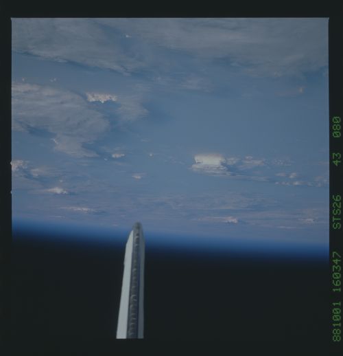
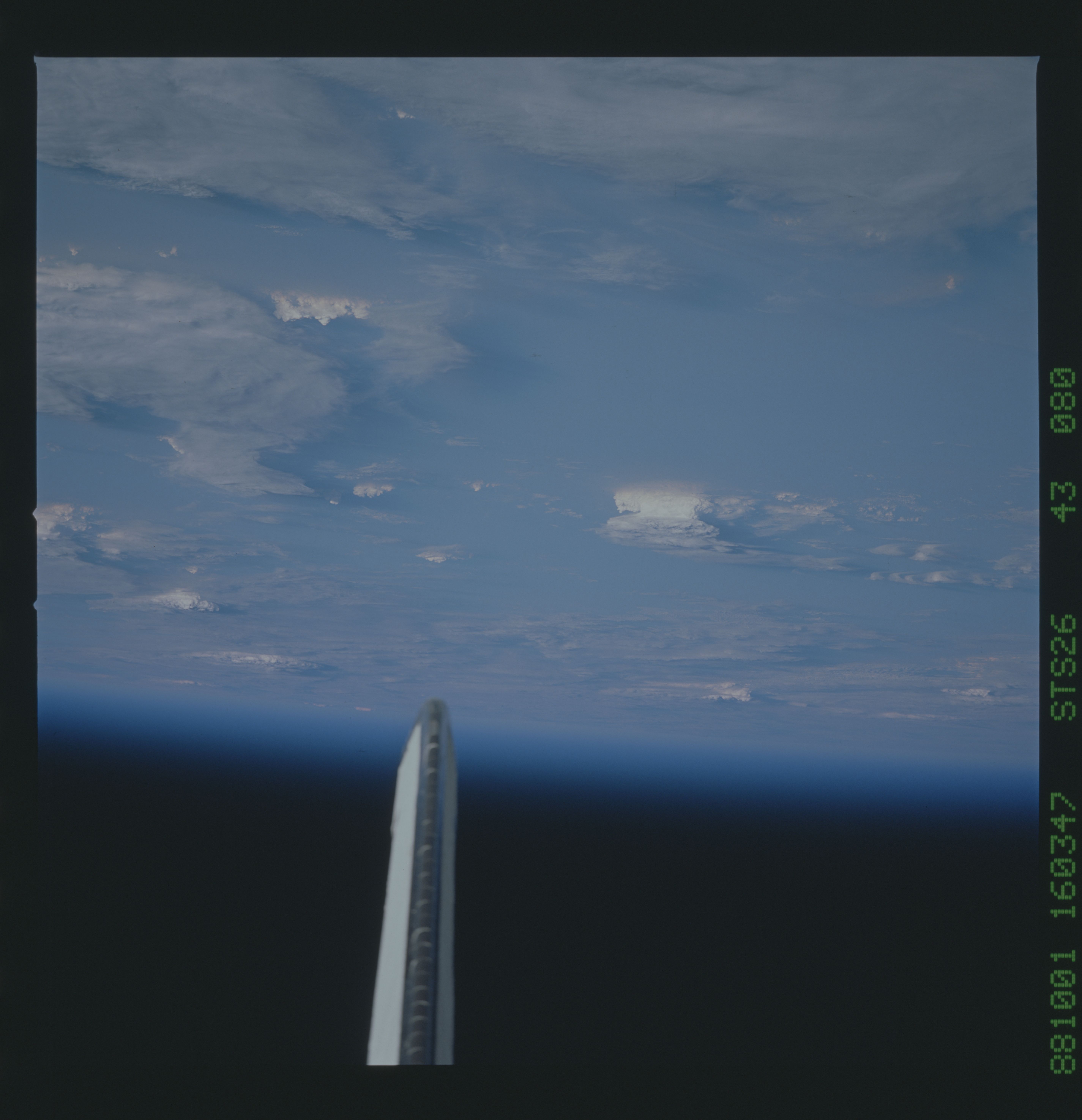
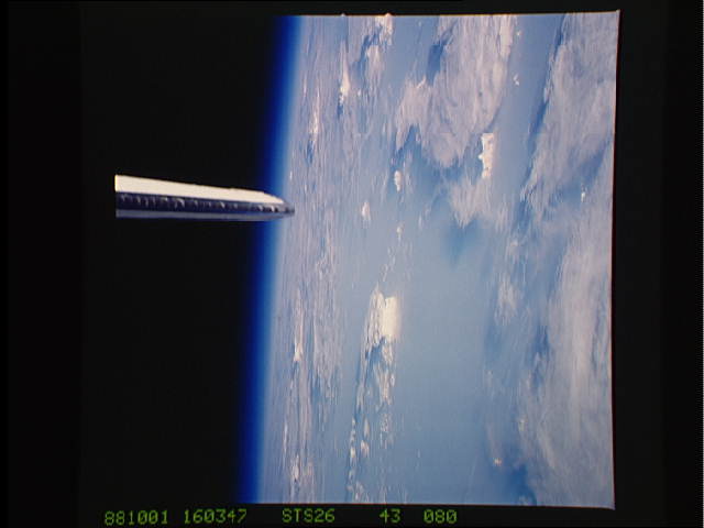
Amazon Basin Smoke and Haze
Smoke and haze from numerous fires covers the Amazon Basin in
this photograph taken in September 1988. The burning season in
the Amazon Basin normally occurs between mid-June and mid-
October. The burning season is presently expanding at both ends
and views such as this may become more common. Oblique views can
help scientists to determine the total area of the smoke pall.
(S26-43-080)
