STS026-42-23
| NASA Photo ID | STS026-42-23 |
| Focal Length | 250mm |
| Date taken | 1988.10.01 |
| Time taken | 11:44:51 GMT |
Resolutions offered for this image:
5239 x 5239 pixels 640 x 640 pixels 5700 x 5900 pixels 500 x 518 pixels 640 x 480 pixels
5239 x 5239 pixels 640 x 640 pixels 5700 x 5900 pixels 500 x 518 pixels 640 x 480 pixels


Cloud masks available for this image:
Spacecraft nadir point: 14.9° N, 25.2° E
Photo center point: 13.0° N, 24.5° E
Photo center point by machine learning:
Photo center point: 13.0° N, 24.5° E
Photo center point by machine learning:
Nadir to Photo Center: South
Spacecraft Altitude: 166 nautical miles (307km)
Country or Geographic Name: | SUDAN |
Features: | JEBEL MARRA |
| Features Found Using Machine Learning: | |
Cloud Cover Percentage: | 5 (1-10)% |
Sun Elevation Angle: | 60° |
Sun Azimuth: | 234° |
Camera: | Hasselblad |
Focal Length: | 250mm |
Camera Tilt: | Near Vertical |
Format: | 5017: Kodak, natural color positive, Ektachrome, X Professional, ASA 64, standard base |
Film Exposure: | Normal |
| Additional Information | |
| Width | Height | Annotated | Cropped | Purpose | Links |
|---|---|---|---|---|---|
| 5239 pixels | 5239 pixels | No | No | Earth From Space collection | Download Image |
| 640 pixels | 640 pixels | No | No | Earth From Space collection | Download Image |
| 5700 pixels | 5900 pixels | No | No | Download Image | |
| 500 pixels | 518 pixels | No | No | Download Image | |
| 640 pixels | 480 pixels | No | No | Download Image |
Download Packaged File
Download a Google Earth KML for this Image
View photo footprint information
Download a GeoTIFF for this photo
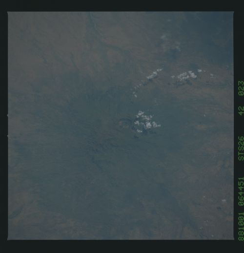
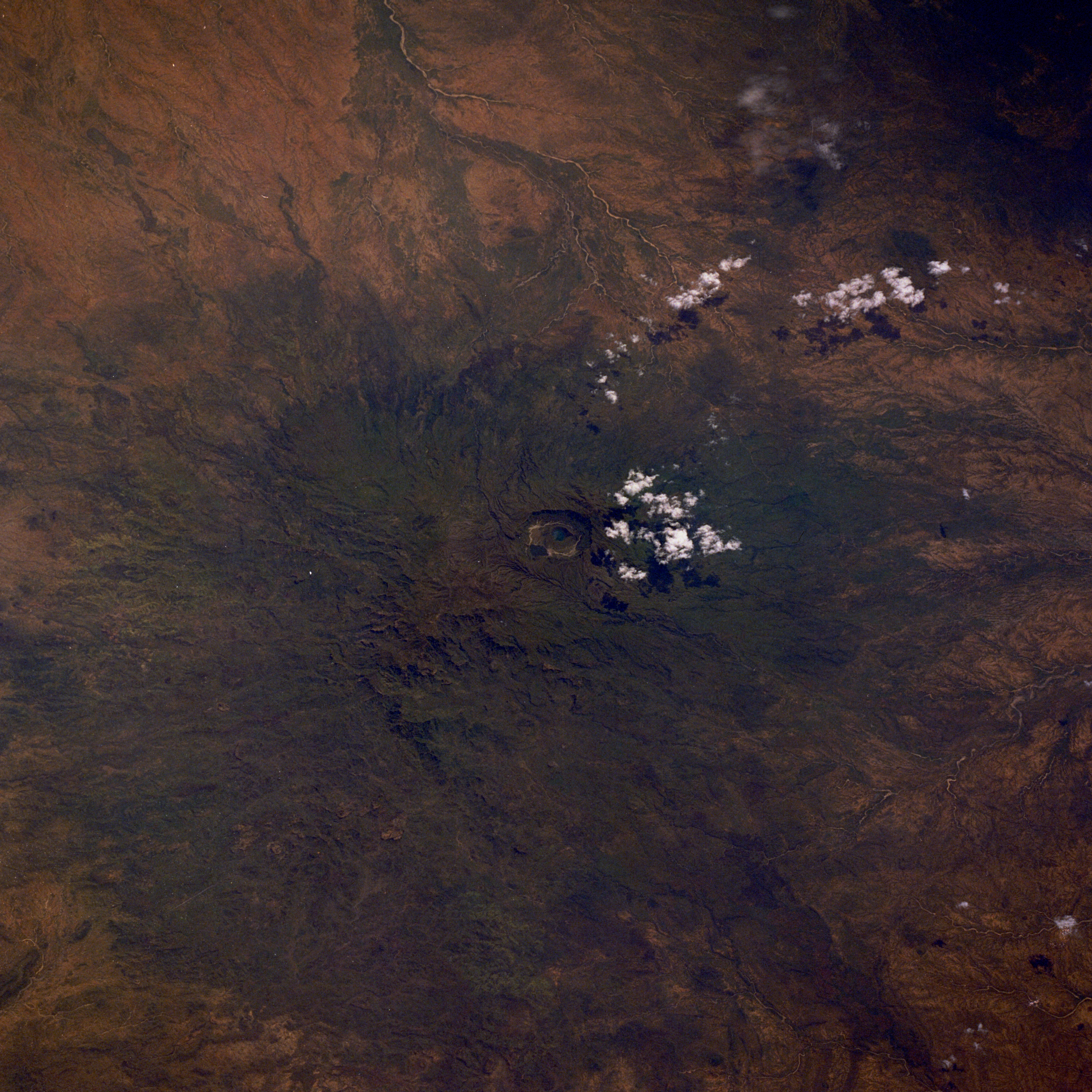
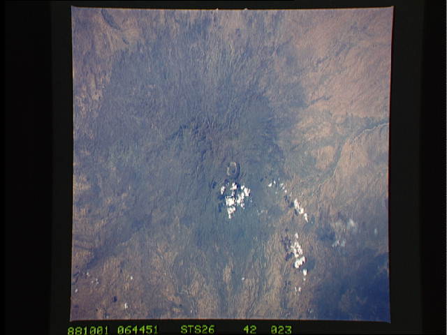
Image Caption: STS026-042-023 Jebel Marra, Sudan October 1988
The volcanic Jebel Marra, located in west-central Sudan near the border of Chad, separates the Nile River and Lake Chad basins. The south- and southeast-flowing drainage from the mountains eventually empties into the Nile River; the west-flowing drainage empties into the Lake Chad basin. This mountainous area is a transition zone between the arid Libyan Desert to the north and the semiarid (savanna) landscape to the south. Several of the higher ridge lines of this range exceed 10 000 feet (3050 meters). The most obvious feature of the Jebel Marra is the Deriba caldera, which measures 3 miles (5 kilometers) in diameter and has one of its peaks rising almost 10 000 feet (3050 meters) above sea level. Geologists estimate that this volcano had its last major eruption in 2000 B.C. The volcanic plateau that formed outward for many miles from the Deriba caldera--especially to the southeast--shows deeply dissected volcanic rocks that present a formidable barrier to land travel through this region of Sudan.
The volcanic Jebel Marra, located in west-central Sudan near the border of Chad, separates the Nile River and Lake Chad basins. The south- and southeast-flowing drainage from the mountains eventually empties into the Nile River; the west-flowing drainage empties into the Lake Chad basin. This mountainous area is a transition zone between the arid Libyan Desert to the north and the semiarid (savanna) landscape to the south. Several of the higher ridge lines of this range exceed 10 000 feet (3050 meters). The most obvious feature of the Jebel Marra is the Deriba caldera, which measures 3 miles (5 kilometers) in diameter and has one of its peaks rising almost 10 000 feet (3050 meters) above sea level. Geologists estimate that this volcano had its last major eruption in 2000 B.C. The volcanic plateau that formed outward for many miles from the Deriba caldera--especially to the southeast--shows deeply dissected volcanic rocks that present a formidable barrier to land travel through this region of Sudan.
