STS026-40-13
| NASA Photo ID | STS026-40-13 |
| Focal Length | 100mm |
| Date taken | 1988.10.02 |
| Time taken | 11:55:56 GMT |

Cloud masks available for this image:
Spacecraft nadir point: 14.2° N, 15.6° E
Photo center point: 13.5° N, 14.5° E
Photo center point by machine learning:
Photo center point: 13.5° N, 14.5° E
Photo center point by machine learning:
Nadir to Photo Center: Southwest
Spacecraft Altitude: 167 nautical miles (309km)
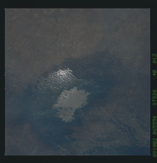
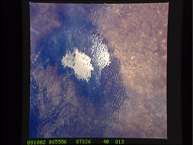
Country or Geographic Name: | CHAD |
Features: | LAKE CHAD |
| Features Found Using Machine Learning: | |
Cloud Cover Percentage: | 5 (1-10)% |
Sun Elevation Angle: | 65° |
Sun Azimuth: | 225° |
Camera: | Hasselblad |
Focal Length: | 100mm |
Camera Tilt: | 25 degrees |
Format: | 5017: Kodak, natural color positive, Ektachrome, X Professional, ASA 64, standard base |
Film Exposure: | Normal |
| Additional Information | |
| Width | Height | Annotated | Cropped | Purpose | Links |
|---|---|---|---|---|---|
| 5700 pixels | 5900 pixels | No | No | Download Image | |
| 500 pixels | 518 pixels | No | No | Download Image | |
| 640 pixels | 480 pixels | No | No | Download Image |
Download Packaged File
Download a Google Earth KML for this Image
View photo footprint information
Download a GeoTIFF for this photo
Image Caption: The fluctuating water levels of Lake Chad, (13.0N, 15.0E) at the intersection of the borders of Chad, Niger and Cameroon in the Sahara Desert, is an index of the drought in Africa. The lake level continues to decrease as indicated by the growing number and extent of emerging islands as previously submerged ancient sand dunes become visible. The water impounded between the dunes is probably because of local rainfall rather than a reversal of desertification.
