STS026-39-68
| NASA Photo ID | STS026-39-68 |
| Focal Length | 250mm |
| Date taken | 1988.10.02 |
| Time taken | 10:23:38 GMT |
Cloud masks available for this image:
Spacecraft nadir point: 16.9° N, 32.9° E
Photo center point: 15.5° N, 32.5° E
Photo center point by machine learning:
Photo center point: 15.5° N, 32.5° E
Photo center point by machine learning:
Nadir to Photo Center: South
Spacecraft Altitude: 168 nautical miles (311km)
Country or Geographic Name: | SUDAN |
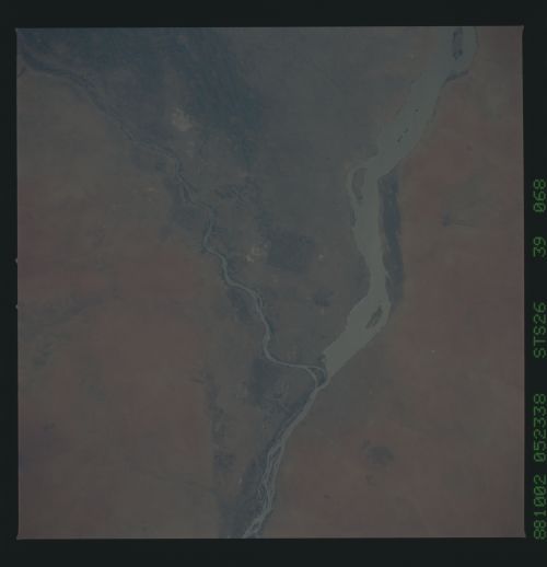
Features: | KHARTOUM, NILE IRRIGATION |
| Features Found Using Machine Learning: | |
Cloud Cover Percentage: | 0 (no clouds present) |
Sun Elevation Angle: | 66° |
Sun Azimuth: | 210° |
Camera: | Hasselblad |
Focal Length: | 250mm |
Camera Tilt: | 27 degrees |
Format: | 5017: Kodak, natural color positive, Ektachrome, X Professional, ASA 64, standard base |
Film Exposure: | Normal |
| Additional Information | |
| Width | Height | Annotated | Cropped | Purpose | Links |
|---|---|---|---|---|---|
| 5700 pixels | 5900 pixels | No | No | Download Image | |
| 500 pixels | 518 pixels | No | No | Download Image | |
| 640 pixels | 480 pixels | No | No | Download Image |
Download Packaged File
Download a Google Earth KML for this Image
View photo footprint information
Download a GeoTIFF for this photo
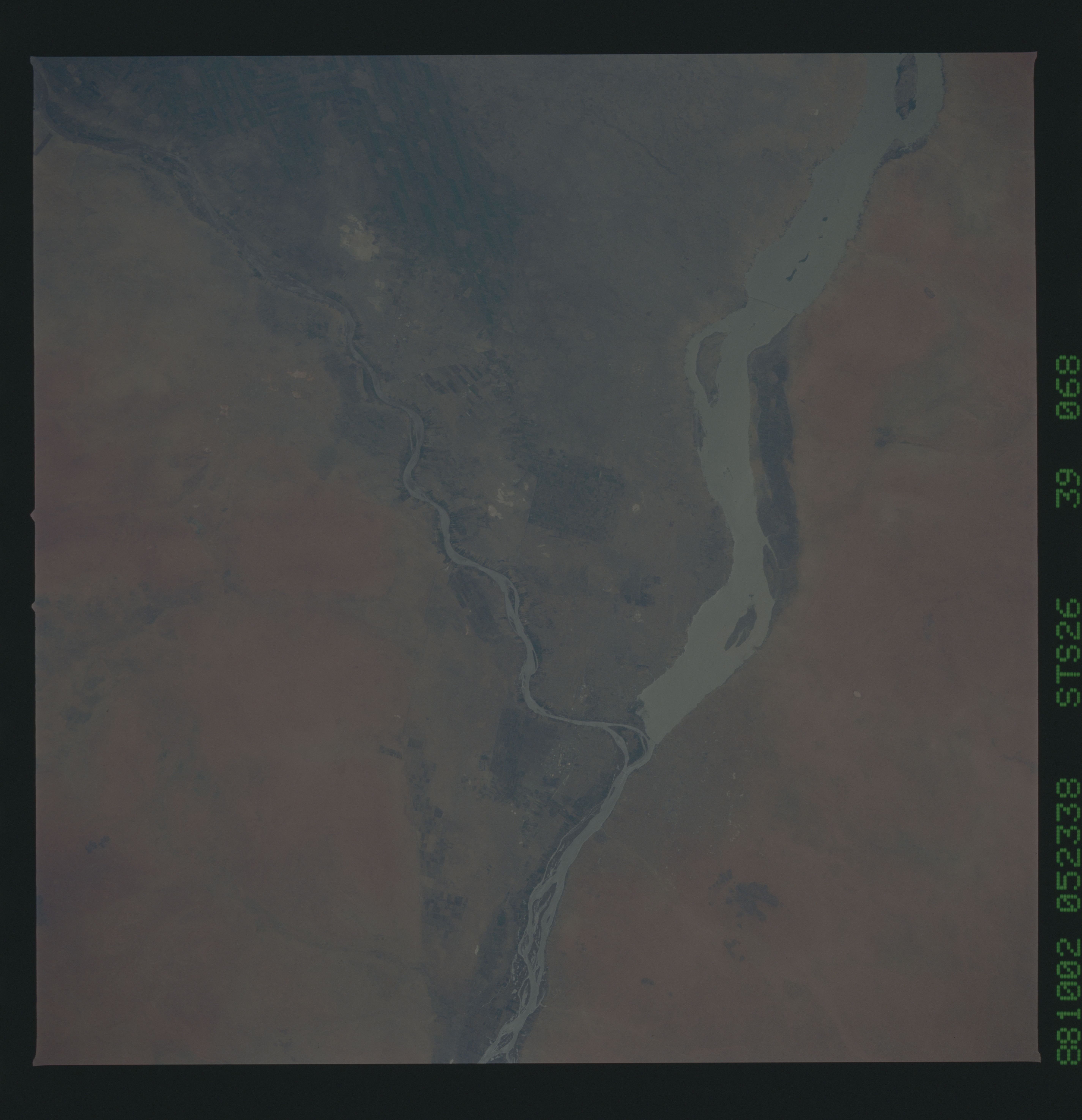
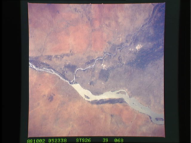
Image Caption:
STS026-39-068 - Heavy rains in the Sahel and East Africa during
the summer of 1988 have led to flooding of the Blue and White
Niles and Khartoum, Sudan, at their confluence. The White Nile
(left) has spread to the full 6-km width of a dam [Geocarto had
R(lower left),S but surely the dam is in the middle of the pic-
ture.] south of Khartoum.
STS026-39-068 - Heavy rains in the Sahel and East Africa during
the summer of 1988 have led to flooding of the Blue and White
Niles and Khartoum, Sudan, at their confluence. The White Nile
(left) has spread to the full 6-km width of a dam [Geocarto had
R(lower left),S but surely the dam is in the middle of the pic-
ture.] south of Khartoum.

