STS008-46-937
| NASA Photo ID | STS008-46-937 |
| Focal Length | 100mm |
| Date taken | 1983.__.__ |
| Time taken | GMT |

Cloud masks available for this image:
Spacecraft nadir point:
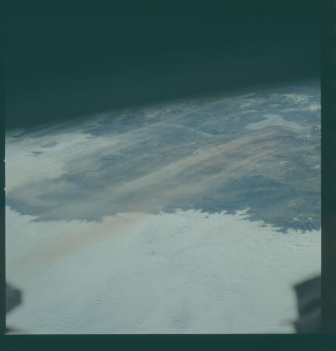
Photo center point: 26.5° S, 66.5° W
Photo center point by machine learning:
Photo center point: 26.5° S, 66.5° W
Photo center point by machine learning:
Nadir to Photo Center:
Spacecraft Altitude: nautical miles (0km)
Country or Geographic Name: | ARGENTINA |
Features: | SALAR ARIZARO, DUST |
| Features Found Using Machine Learning: | |
Cloud Cover Percentage: | 55 (51-75)% |
Sun Elevation Angle: | ° |
Sun Azimuth: | ° |
Camera: | Hasselblad |
Focal Length: | 100mm |
Camera Tilt: | Low Oblique |
Format: | 6017: Kodak Ektachrome 64, 220 Roll Format |
Film Exposure: | Normal |
| Additional Information | |
| Width | Height | Annotated | Cropped | Purpose | Links |
|---|---|---|---|---|---|
| 4393 pixels | 4600 pixels | No | No | Download Image | |
| 478 pixels | 500 pixels | No | No | Download Image | |
| 640 pixels | 480 pixels | No | No | Download Image |
Download Packaged File
Download a Google Earth KML for this Image
View photo footprint information
Download a GeoTIFF for this photo
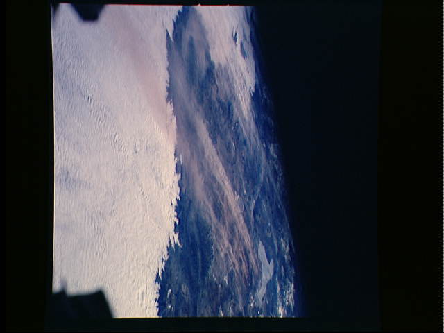
Image Caption: Most of the land surface and the clouds in the foreground of this westerly looking view are over the South American Andean Altiplano at the frontier between Chile and Argentina (26.5S, 66.5W). Chile is to the west near the top of the photo just beyond the dry salt lake (Salar de Arizaro) at the upper right. Very strong winds are picking up dust and blowing it to the SE across mountain mountain ranges into the Chaco Austral region of Argentina.
