STS008-43-2172
| NASA Photo ID | STS008-43-2172 |
| Focal Length | 100mm |
| Date taken | 1983.__.__ |
| Time taken | GMT |
Resolutions offered for this image:
3904 x 3895 pixels 639 x 638 pixels 4393 x 4600 pixels 478 x 500 pixels 640 x 480 pixels
3904 x 3895 pixels 639 x 638 pixels 4393 x 4600 pixels 478 x 500 pixels 640 x 480 pixels


Cloud masks available for this image:
Spacecraft nadir point:
Photo center point: 22.5° S, 132.5° E
Photo center point by machine learning:
Photo center point: 22.5° S, 132.5° E
Photo center point by machine learning:
Nadir to Photo Center:
Spacecraft Altitude: nautical miles (0km)
Country or Geographic Name: | AUSTRALIA-NT |
Features: | REYNOLDS RANGES, LANDER R |
| Features Found Using Machine Learning: | |
Cloud Cover Percentage: | 0 (no clouds present) |
Sun Elevation Angle: | ° |
Sun Azimuth: | ° |
Camera: | Hasselblad |
Focal Length: | 100mm |
Camera Tilt: | Low Oblique |
Format: | 6017: Kodak Ektachrome 64, 220 Roll Format |
Film Exposure: | Normal |
| Additional Information | |
| Width | Height | Annotated | Cropped | Purpose | Links |
|---|---|---|---|---|---|
| 3904 pixels | 3895 pixels | No | No | Earth From Space collection | Download Image |
| 639 pixels | 638 pixels | No | No | Earth From Space collection | Download Image |
| 4393 pixels | 4600 pixels | No | No | Download Image | |
| 478 pixels | 500 pixels | No | No | Download Image | |
| 640 pixels | 480 pixels | No | No | Download Image |
Download Packaged File
Download a Google Earth KML for this Image
View photo footprint information
Download a GeoTIFF for this photo
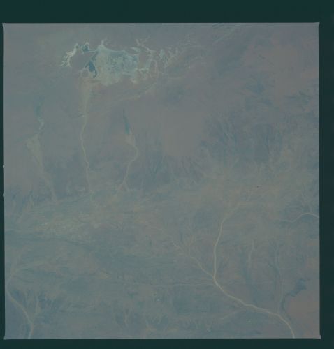
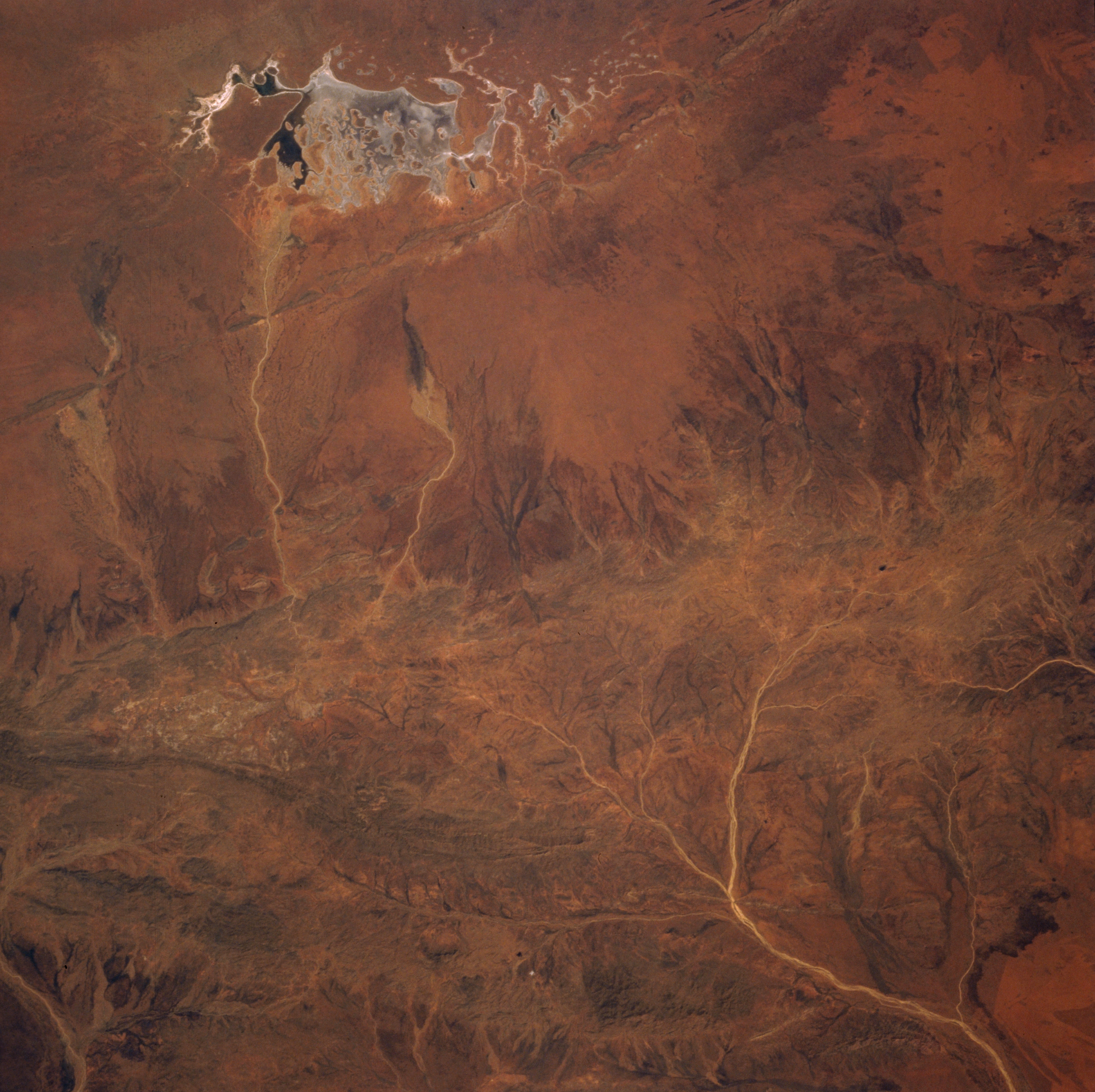
Image Caption: STS008-43-2172 Reynolds Ranges, Northern Territory, Australia September 1983
Located north of the Macdonnell Mountain Ranges in south central Northern Territory, two smaller ranges are barely discernible in this low oblique, southwest looking picture. Drainage patterns (lighter-colored, linear features) that only intermittently carry water in this desert environment can be traced across the landscape from the flanks of the Reynolds Ranges (northwest-southeast aligned feature near center of image) as some creeks flow north and others flow generally to the south. The Stuart Bluff Range is a very narrow ridgeline that can be identified immediately north of the dry lakebed (highly reflective feature at the top of the image). The small, dark areas within the dry lake suggest that some type of plant life exists at the time this picture was acquired. The very dark area near the eastern margin of the dry lake may be standing water.
Located north of the Macdonnell Mountain Ranges in south central Northern Territory, two smaller ranges are barely discernible in this low oblique, southwest looking picture. Drainage patterns (lighter-colored, linear features) that only intermittently carry water in this desert environment can be traced across the landscape from the flanks of the Reynolds Ranges (northwest-southeast aligned feature near center of image) as some creeks flow north and others flow generally to the south. The Stuart Bluff Range is a very narrow ridgeline that can be identified immediately north of the dry lakebed (highly reflective feature at the top of the image). The small, dark areas within the dry lake suggest that some type of plant life exists at the time this picture was acquired. The very dark area near the eastern margin of the dry lake may be standing water.
