STS008-34-1153
| NASA Photo ID | STS008-34-1153 |
| Focal Length | 100mm |
| Date taken | 1983.__.__ |
| Time taken | GMT |

Cloud masks available for this image:
Spacecraft nadir point:
Photo center point: 27.5° S, 138.0° E
Photo center point by machine learning:
Photo center point: 27.5° S, 138.0° E
Photo center point by machine learning:
Nadir to Photo Center:
Spacecraft Altitude: nautical miles (0km)
Country or Geographic Name: | AUSTRALIA-SA |
Features: | LAKE EYRE |
| Features Found Using Machine Learning: | |
Cloud Cover Percentage: | 0 (no clouds present) |
Sun Elevation Angle: | ° |
Sun Azimuth: | ° |
Camera: | Hasselblad |
Focal Length: | 100mm |
Camera Tilt: | Low Oblique |
Format: | 6017: Kodak Ektachrome 64, 220 Roll Format |
Film Exposure: | Normal |
| Additional Information | |
| Width | Height | Annotated | Cropped | Purpose | Links |
|---|---|---|---|---|---|
| 4393 pixels | 4600 pixels | No | No | Download Image | |
| 478 pixels | 500 pixels | No | No | Download Image | |
| 640 pixels | 480 pixels | No | No | Download Image |
Download Packaged File
Download a Google Earth KML for this Image
View photo footprint information
Download a GeoTIFF for this photo
Image Caption:
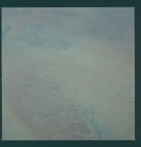
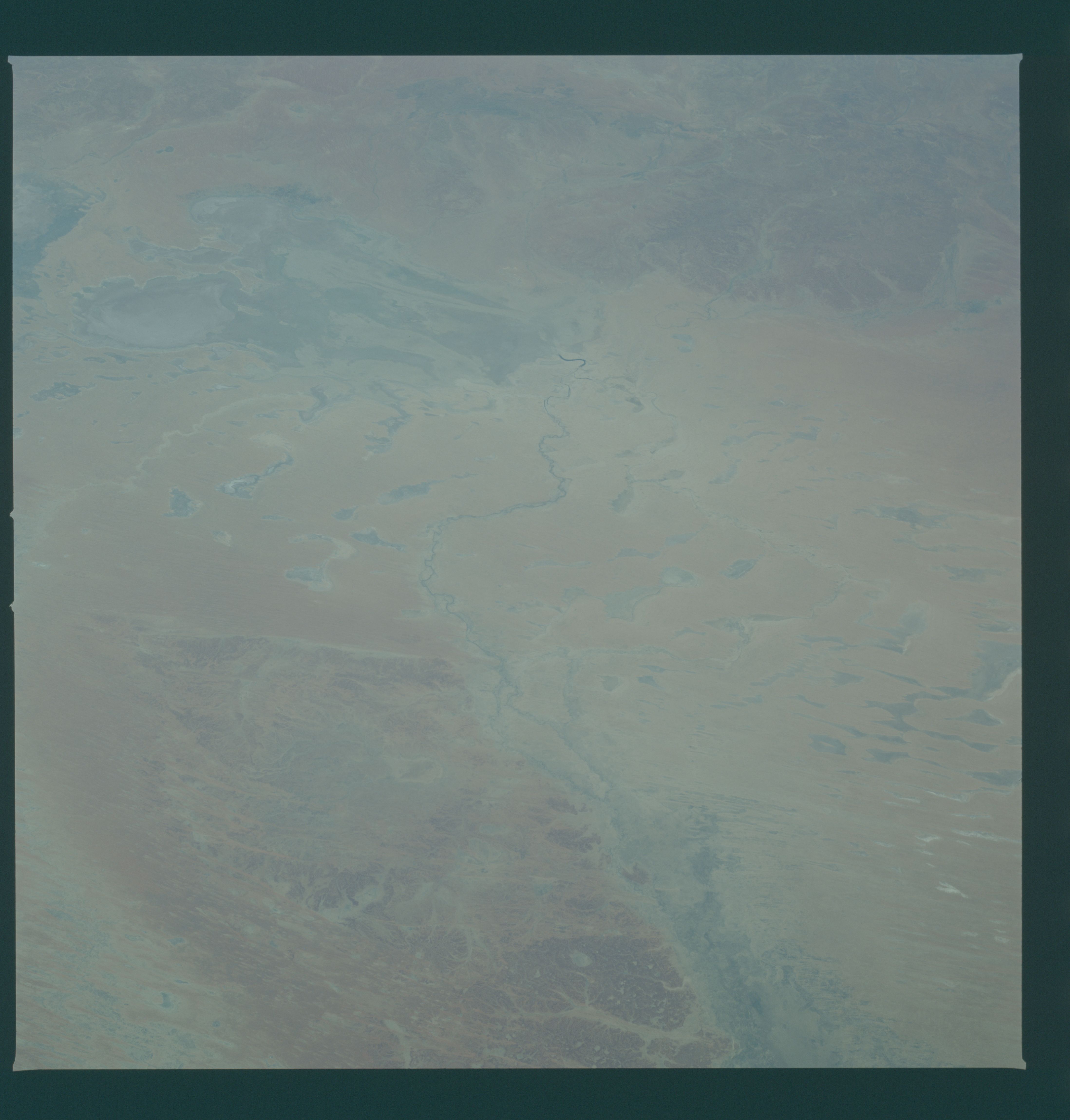
Simpson Desert Sandfield
Dark colors in the foreground are stony desert surfaces made of
iron-stained soils. Sands from local river beds make up the
linear dunes of the sandfield (center). The Warburton River (ar-
rows) crosses the dunes to Lake Eyre (top left). Lakes--such as
Warrandarinna and Kittakittaooloo (1, 2)--within the dune field
are located along previous courses of the Warburton and in hol-
lows between the dunes. (S08-341153)
