STS003-17-862
| NASA Photo ID | STS003-17-862 |
| Focal Length | 100mm |
| Date taken | 1982.03.__ |
| Time taken | GMT |

Cloud masks available for this image:
Spacecraft nadir point:
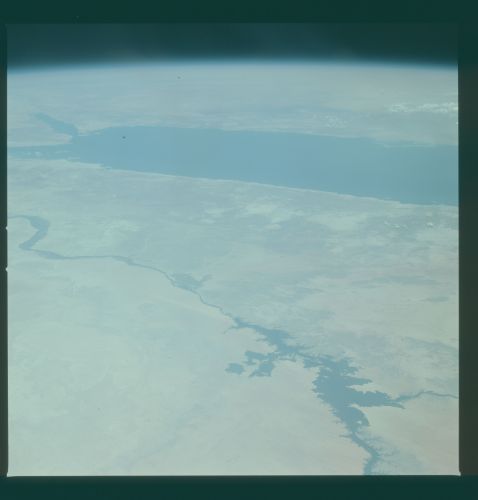
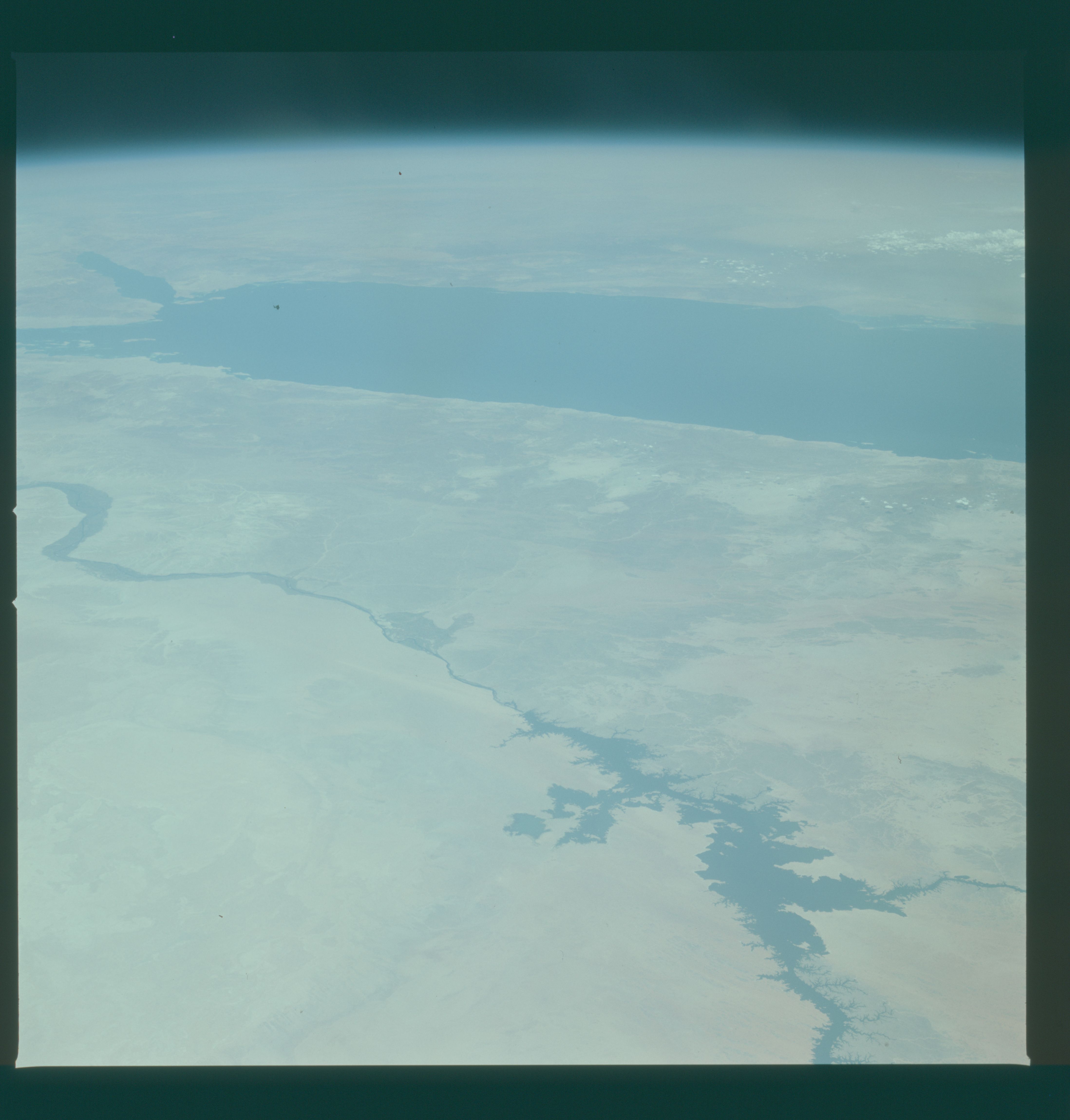
Photo center point: 24.5° N, 33.5° E
Photo center point by machine learning:
Photo center point: 24.5° N, 33.5° E
Photo center point by machine learning:
Nadir to Photo Center:
Spacecraft Altitude: nautical miles (0km)
Country or Geographic Name: | EGYPT |
Features: | NILE RIVER, RED SEA |
| Features Found Using Machine Learning: | |
Cloud Cover Percentage: | 10 (1-10)% |
Sun Elevation Angle: | ° |
Sun Azimuth: | ° |
Camera: | Hasselblad |
Focal Length: | 100mm |
Camera Tilt: | High Oblique |
Format: | QX824: Kodak Ektachrome 64 |
Film Exposure: | Normal |
| Additional Information | |
| Width | Height | Annotated | Cropped | Purpose | Links |
|---|---|---|---|---|---|
| 4393 pixels | 4600 pixels | No | No | Download Image | |
| 478 pixels | 500 pixels | No | No | Download Image | |
| 640 pixels | 480 pixels | No | No | Download Image |
Download Packaged File
Download a Google Earth KML for this Image
View photo footprint information
Download a GeoTIFF for this photo
Image Caption: A panaramic view of eastern Egypt, The Red Sea and Saudi Arabia beyond (24.0N, 33.0E). In this desert country, where water is life, the high Aswan Dam and the impounded waters of the Nile River in the foreground assure water availability into the next century. The Red Sea beyond, part of the Suez Canal seaway, serves as a commercial link to the world and separates Egypt from Saudi Arabia.
