STS003-17-816
| NASA Photo ID | STS003-17-816 |
| Focal Length | 100mm |
| Date taken | 1982.03.__ |
| Time taken | GMT |
Cloud masks available for this image:
Spacecraft nadir point:
Photo center point: 30.5° N, 48.0° E
Photo center point by machine learning:
Photo center point: 30.5° N, 48.0° E
Photo center point by machine learning:
Nadir to Photo Center:
Spacecraft Altitude: nautical miles (0km)
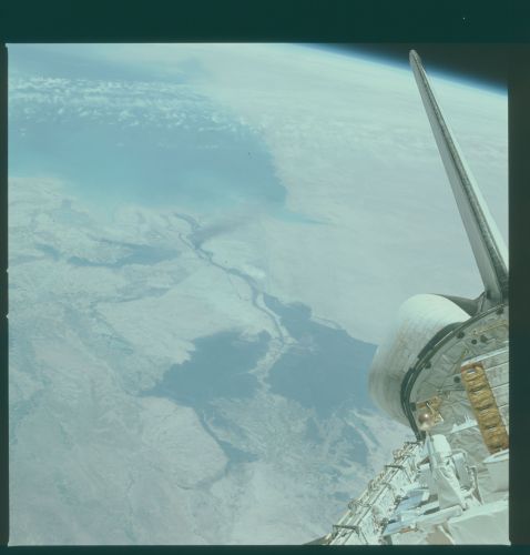
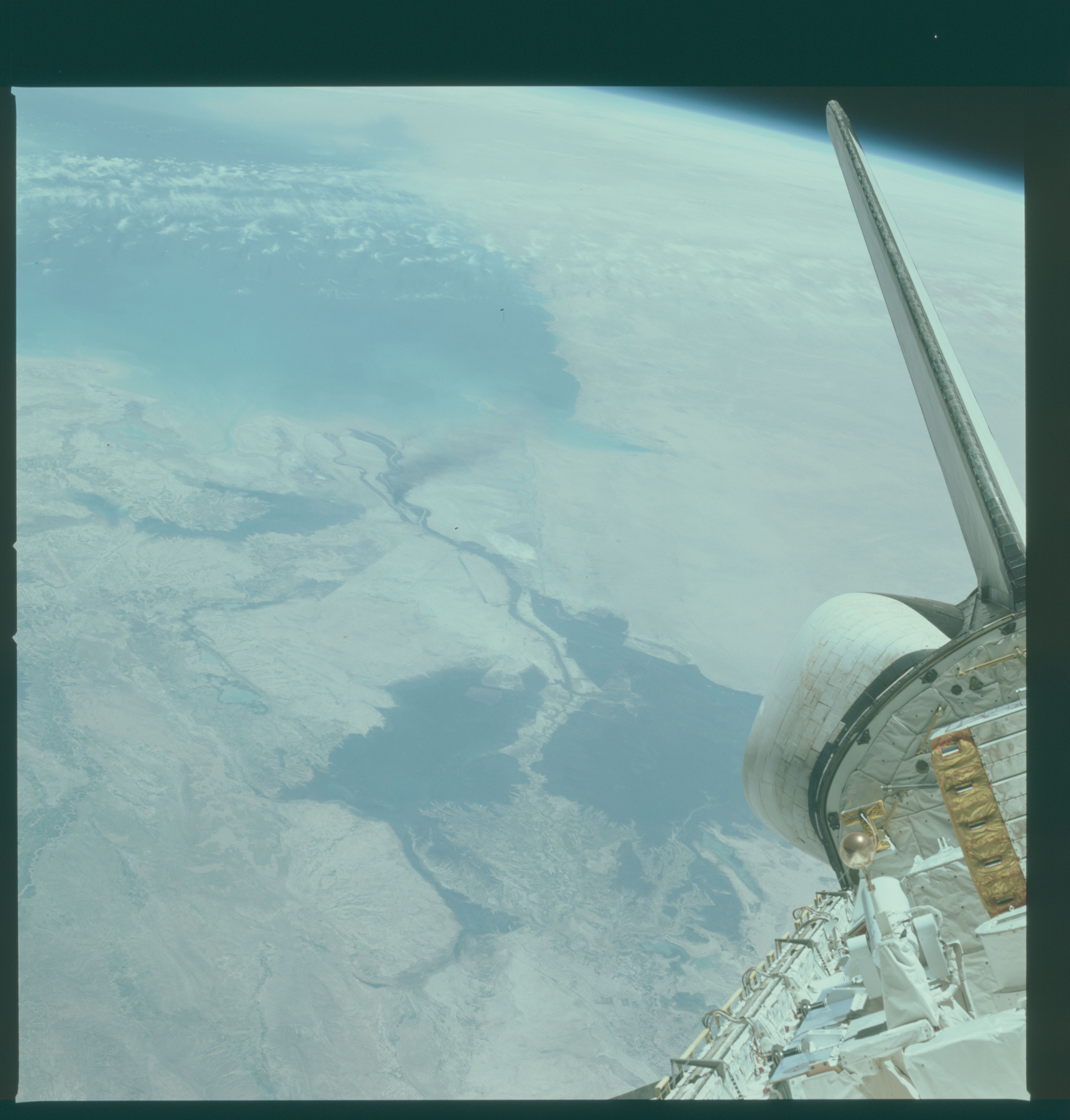
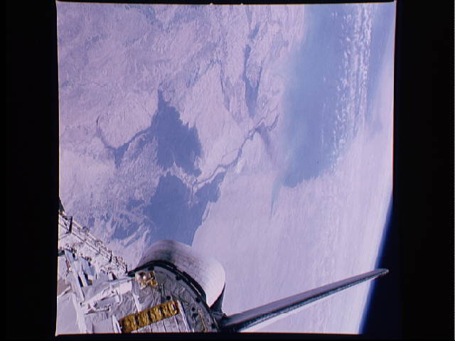
Country or Geographic Name: | IRAQ |
Features: | CARGO BAY, PERSIAN GULF |
| Features Found Using Machine Learning: | |
Cloud Cover Percentage: | 20 (11-25)% |
Sun Elevation Angle: | ° |
Sun Azimuth: | ° |
Camera: | Hasselblad |
Focal Length: | 100mm |
Camera Tilt: | High Oblique |
Format: | QX824: Kodak Ektachrome 64 |
Film Exposure: | Normal |
| Additional Information | |
| Width | Height | Annotated | Cropped | Purpose | Links |
|---|---|---|---|---|---|
| 4393 pixels | 4600 pixels | No | No | Download Image | |
| 478 pixels | 500 pixels | No | No | Download Image | |
| 640 pixels | 480 pixels | No | No | Download Image |
Download Packaged File
Download a Google Earth KML for this Image
View photo footprint information
Download a GeoTIFF for this photo
Image Caption: The southern part of Iraq (30.0N, 48.0E) at the Hawr al Hammar lakes and marshlands where the mouths of the Tigris and Euphrates Rivers enter the northern Persian Gulf and serve as a border between Iraq and Iran seen at the left. The neighboring oil rich countries of Kuwait and Saudi Arabia are at the headwaters of the Gulf and extend into the background.
