STS002-9-469

| NASA Photo ID | STS002-9-469 |
| Focal Length | 100mm |
| Date taken | 1981.11.__ |
| Time taken | GMT |
Cloud masks available for this image:
Spacecraft nadir point:
Photo center point: 25.0° N, 58.0° E
Photo center point by machine learning:
Photo center point: 25.0° N, 58.0° E
Photo center point by machine learning:
Nadir to Photo Center:
Spacecraft Altitude: nautical miles (0km)
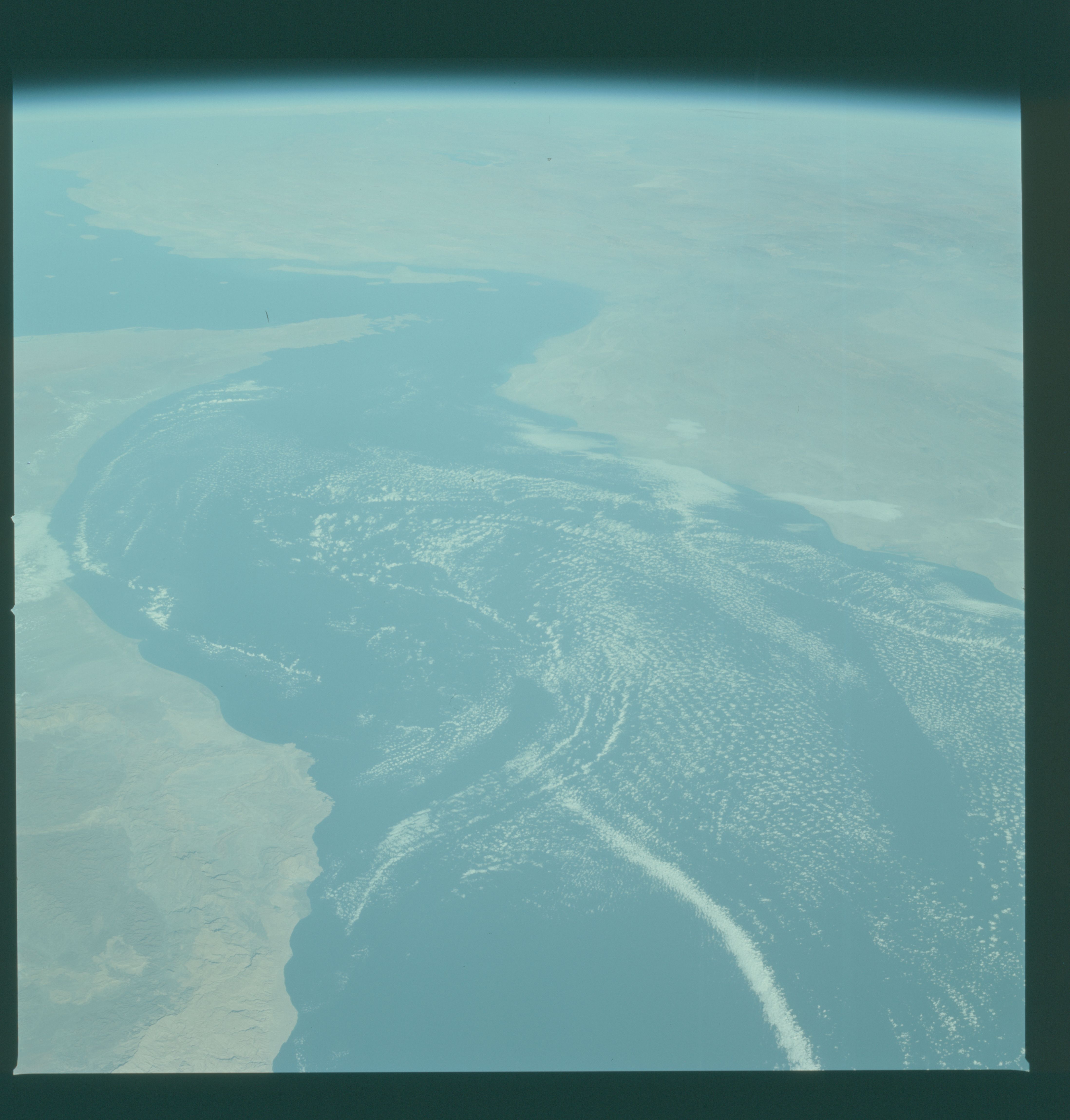
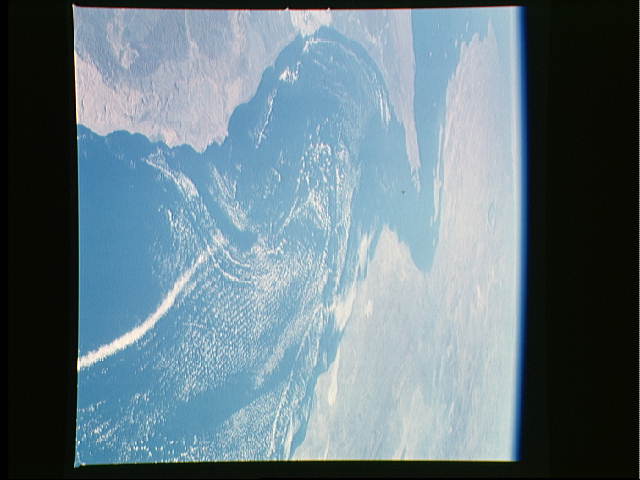
Country or Geographic Name: | IRAN |
Features: | STRAIT OF HORMUZ |
| Features Found Using Machine Learning: | |
Cloud Cover Percentage: | 40 (26-50)% |
Sun Elevation Angle: | ° |
Sun Azimuth: | ° |
Camera: | Hasselblad |
Focal Length: | 100mm |
Camera Tilt: | High Oblique |
Format: | QX824: Kodak Ektachrome 64 |
Film Exposure: | Normal |
| Additional Information | |
| Width | Height | Annotated | Cropped | Purpose | Links |
|---|---|---|---|---|---|
| 4393 pixels | 4600 pixels | No | No | Download Image | |
| 478 pixels | 500 pixels | No | No | Download Image | |
| 640 pixels | 480 pixels | No | No | Download Image |
Download Packaged File
Download a Google Earth KML for this Image
View photo footprint information
Download a GeoTIFF for this photo
Image Caption: This photo shows Saudi Arabia to the left separated from Iran to the right by the Gulf of Oman (24.5N, 56.5E), Strait of Hormuz and the Persian Gulf. The influence of the deserts, mountains, coastal headlands, prevailing winds and sea conditions cause very unique cloud patterns to be seen over the Gulf of Oman.
