STS002-16-348

| NASA Photo ID | STS002-16-348 |
| Focal Length | 100mm |
| Date taken | 1981.11.__ |
| Time taken | GMT |
Cloud masks available for this image:
Spacecraft nadir point:
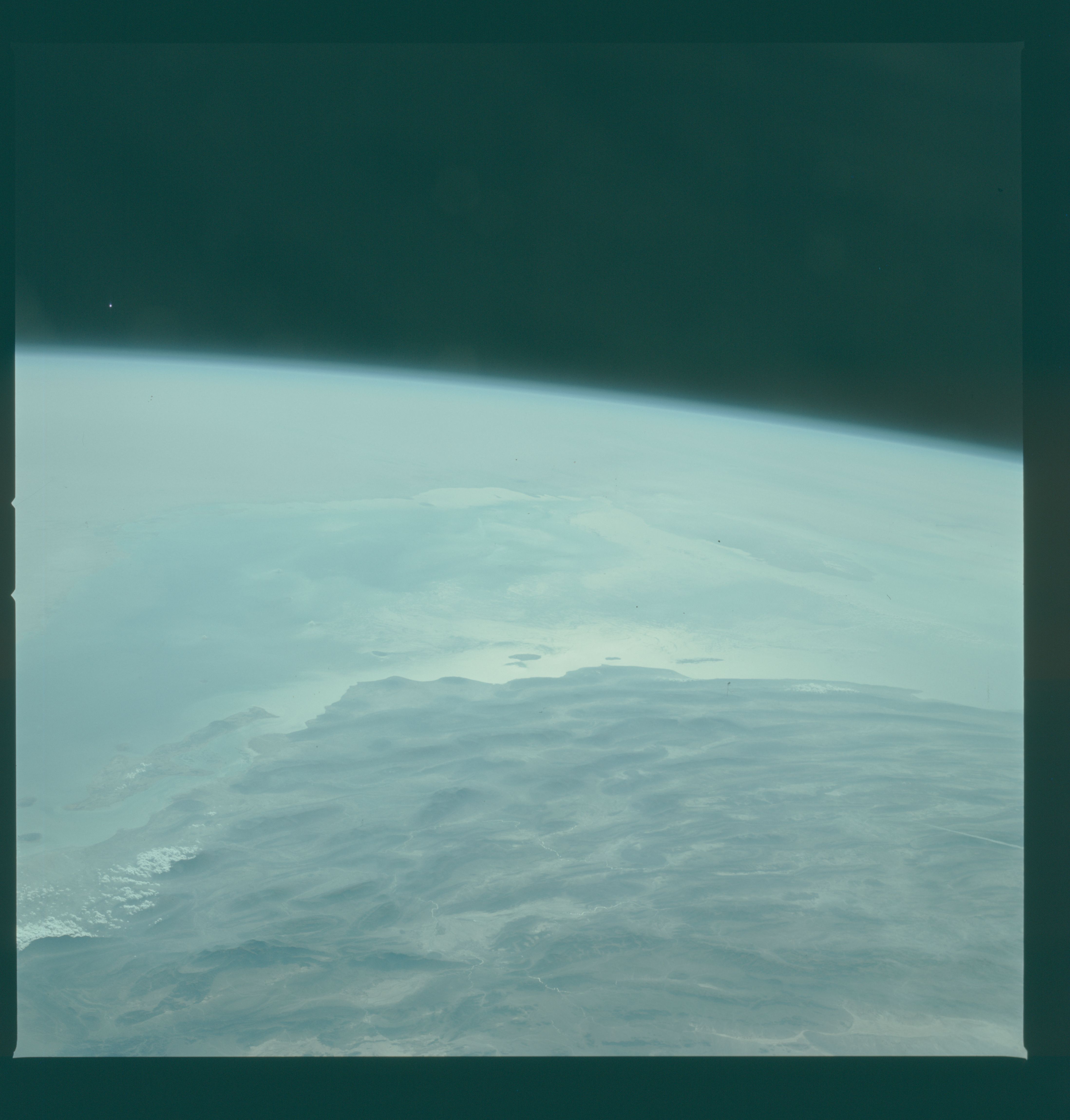
Photo center point: 26.0° N, 54.0° E
Photo center point by machine learning:
Photo center point: 26.0° N, 54.0° E
Photo center point by machine learning:
Nadir to Photo Center:
Spacecraft Altitude: nautical miles (0km)
Country or Geographic Name: | IRAN |
Features: | PERSIAN GULF |
| Features Found Using Machine Learning: | |
Cloud Cover Percentage: | 40 (26-50)% |
Sun Elevation Angle: | ° |
Sun Azimuth: | ° |
Camera: | Hasselblad |
Focal Length: | 100mm |
Camera Tilt: | High Oblique |
Format: | QX824: Kodak Ektachrome 64 |
Film Exposure: | Normal |
| Additional Information | |
| Width | Height | Annotated | Cropped | Purpose | Links |
|---|---|---|---|---|---|
| 4393 pixels | 4600 pixels | No | No | Download Image | |
| 478 pixels | 500 pixels | No | No | Download Image | |
| 640 pixels | 480 pixels | No | No | Download Image |
Download Packaged File
Download a Google Earth KML for this Image
View photo footprint information
Download a GeoTIFF for this photo
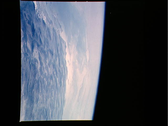
Image Caption: This oblique view of the south Persian Gulf region (26.0N, 54.0E) was taken over Iran looking west across the south Persian Gulf into the Trucial Coast of the United Arab Emirates and the prominent Qatar peninsula. Rich in petroleum resources, this region supplies much of the world's oil needs from its many ports and off shore loading facilities.
