SL4-139-4072

| NASA Photo ID | SL4-139-4072 |
| Focal Length | 100mm |
| Date taken | |
| Time taken | GMT |

Cloud masks available for this image:
Spacecraft nadir point:
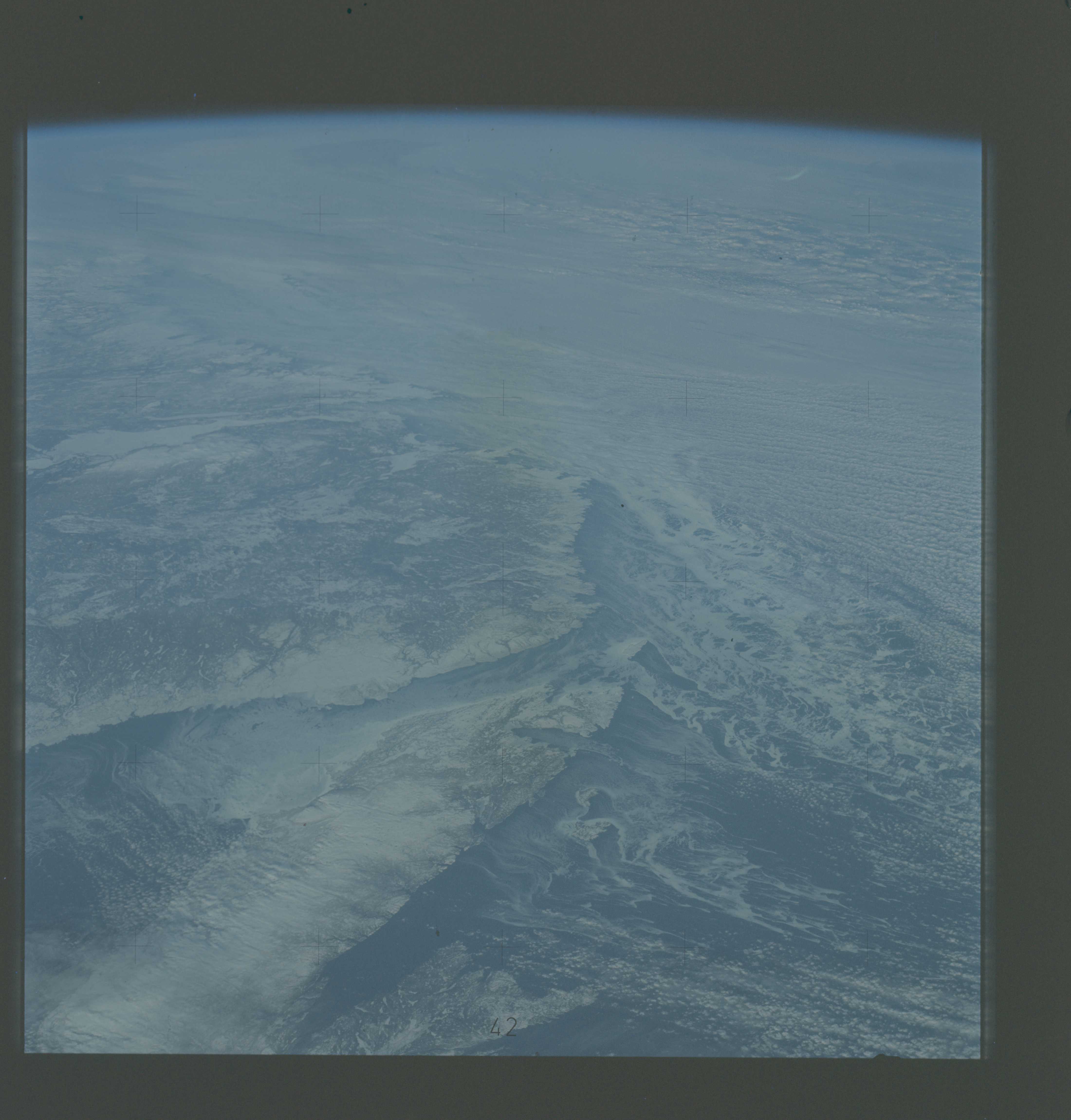
Photo center point: 52.5° N, 56.5° W
Photo center point by machine learning:
Photo center point: 52.5° N, 56.5° W
Photo center point by machine learning:
Nadir to Photo Center:
Spacecraft Altitude: nautical miles (0km)
Country or Geographic Name: | CANADA-N |
Features: | STRAIT OF BELLE ISLE |
| Features Found Using Machine Learning: | |
Cloud Cover Percentage: | 40 (26-50)% |
Sun Elevation Angle: | ° |
Sun Azimuth: | ° |
Camera: | Hasselblad |
Focal Length: | 100mm |
Camera Tilt: | High Oblique |
Format: | SO368: Kodak Ektachrome MS, equivalent to 2448 Kodak Aerochrome, ASA64, thin base, fine grain |
Film Exposure: | Normal |
| Additional Information | |
| Width | Height | Annotated | Cropped | Purpose | Links |
|---|---|---|---|---|---|
| 4400 pixels | 4600 pixels | No | No | Download Image | |
| 4400 pixels | 4600 pixels | No | No | Original file from film scan | Download Image |
| 478 pixels | 500 pixels | No | No | Download Image |
Download Packaged File
Download a Google Earth KML for this Image
View photo footprint information
Download a GeoTIFF for this photo
Image Caption: A high-oblique view of the North Atlantic coast of Canada (52.5N, 56.5W) as seen from the Skylab space station in Earth orbit. The Strait of Belle Isle, near the center of the picture, separates the Island of Newfoundland from the Canadian mainland. The Strait also connects the Gulf of St. Lawrence with the North Atlantic Ocean. The elongated land mass (lower center) is the northernmost peninsula of the Island of Newfoundland. The large land mass at left center is mainland Newfoundland and Quebec. Note the sea ice in the Atlantic.
