SL4-137-3655
| NASA Photo ID | SL4-137-3655 |
| Focal Length | 100mm |
| Date taken | |
| Time taken | GMT |


Cloud masks available for this image:
Spacecraft nadir point:
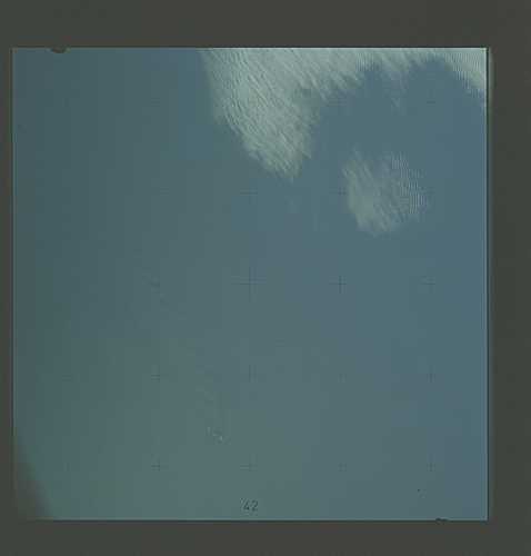
Photo center point: 49.7° S, 178.8° E
Photo center point by machine learning:
Photo center point: 49.7° S, 178.8° E
Photo center point by machine learning:
Nadir to Photo Center:
Spacecraft Altitude: nautical miles (0km)
Country or Geographic Name: | NEW ZEALAND |
Features: | ANTIPODES I, DRY ATM. WAKE |
| Features Found Using Machine Learning: | |
Cloud Cover Percentage: | 20 (11-25)% |
Sun Elevation Angle: | ° |
Sun Azimuth: | ° |
Camera: | Hasselblad |
Focal Length: | 100mm |
Camera Tilt: | Low Oblique |
Format: | SO368: Kodak Ektachrome MS, equivalent to 2448 Kodak Aerochrome, ASA64, thin base, fine grain |
Film Exposure: | Normal |
| Additional Information | |
| Width | Height | Annotated | Cropped | Purpose | Links |
|---|---|---|---|---|---|
| 4400 pixels | 4600 pixels | No | No | Download Image | |
| 4400 pixels | 4600 pixels | No | No | Original file from film scan | Download Image |
| 478 pixels | 500 pixels | No | No | Download Image |
Download Packaged File
Download a Google Earth KML for this Image
View photo footprint information
Download a GeoTIFF for this photo
Image Caption: An island wake produced by the Antipodes Islands in the ocean current south of New Zealand (49.7S, 178.8E) is seen in this photograph taken from the Skylab space station in Earth orbit. The bow wave pattern is quite evident and can be used to determine the current speed from the angle of the bow wave if the propagation speed of the surface waves is known. Also, evident is the darker band extending downstream from the island tens of miles. This is the actual wake of the island.
