SL3-45-20
| NASA Photo ID | SL3-45-20 |
| Focal Length | 152mm |
| Date taken | 1973.09.16 |
| Time taken | GMT |
Cloud masks available for this image:
Spacecraft nadir point: 36.5° N, 82.9° W
Photo center point: 36.5° N, 82.9° W
Photo center point by machine learning:
Photo center point: 36.5° N, 82.9° W
Photo center point by machine learning:
Nadir to Photo Center:
Spacecraft Altitude: 231 nautical miles (428km)
Country or Geographic Name: | |
Features: | |
| Features Found Using Machine Learning: | |
Cloud Cover Percentage: | 20 (11-25)% |
Sun Elevation Angle: | ° |
Sun Azimuth: | ° |
Camera: | Skylab Multispectral (S190A) |
Focal Length: | 152mm |
Camera Tilt: | 0 degrees |
Format: | E2443: Kodak color infrared |
Film Exposure: | |
| Additional Information | |
| Width | Height | Annotated | Cropped | Purpose | Links |
|---|---|---|---|---|---|
| 6830 pixels | 4937 pixels | No | No | Download Image | |
| 500 pixels | 361 pixels | No | No | Download Image |
Download Packaged File
Download a Google Earth KML for this Image
View photo footprint information
Download a GeoTIFF for this photo
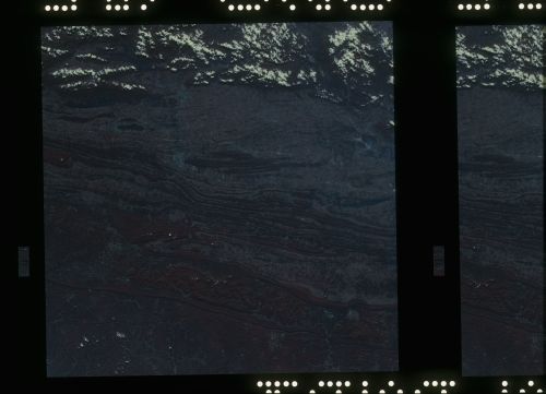
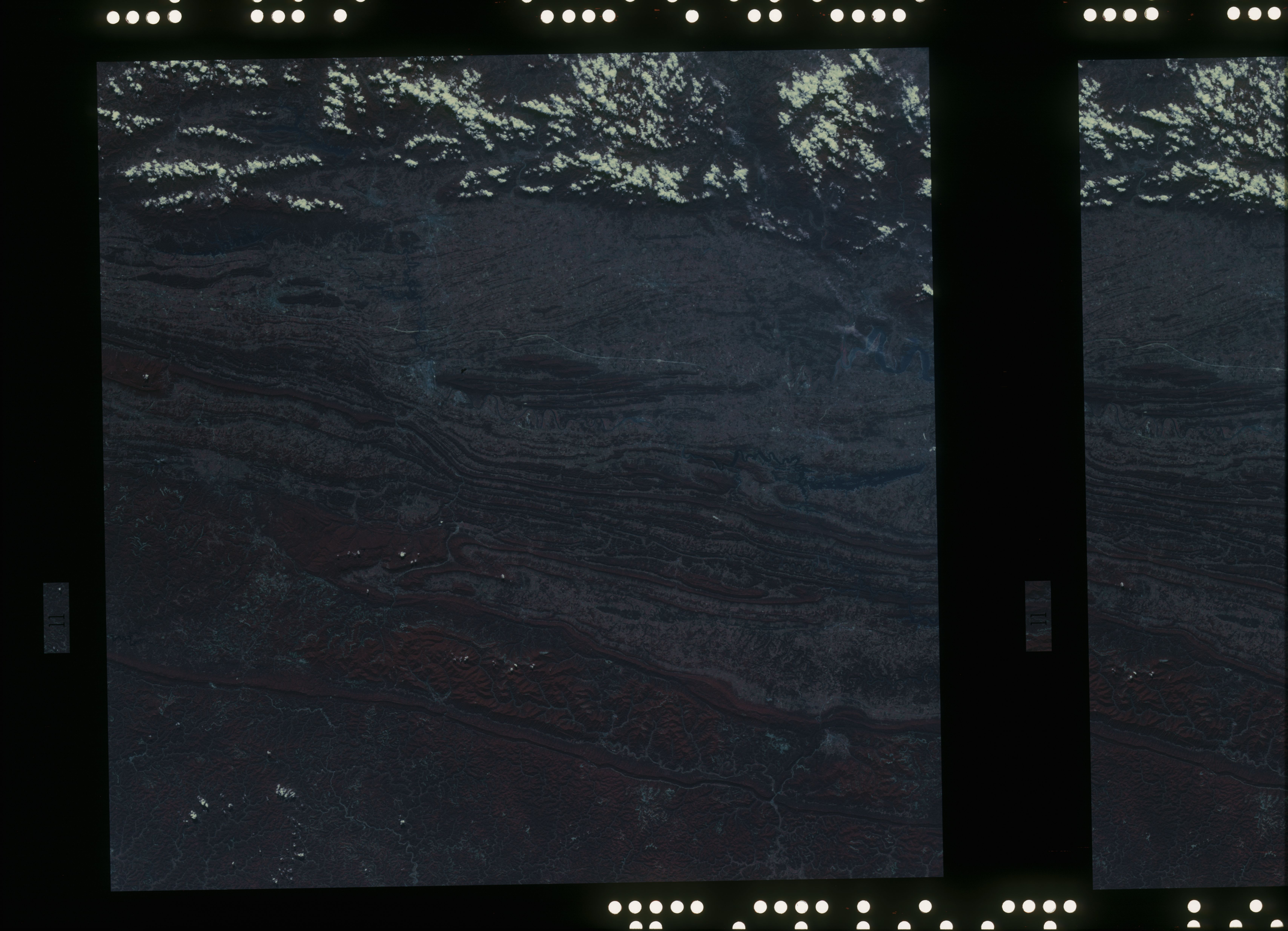
Image Caption: A vertical view of the Virginia, Tennessee, Kentucky border area, as photographed from Earth orbit by one of the six lenses of the Itek-furnished S190-A Multispectral Photographic Facility Experiment aboard the Skylab space station. The long, narrow ridge is Pine Mountain; and it is crossed by U.S. 25E as it passes through the famed Cumberland Gap which at 1,600 feet elevation crosses Cumberland Mountain. Kingsport, Tennessee is located east of Cumberland Gap near the center of the picture. Interstate 81 under construction can be seen southeast of Kingsport. Bristol, Tennessee-Virginia is further east. Greenville and Elizabethton, Tennessee can also be seen in this photograph. The clouds across the southeast edge of the picture are over the Blue Ridge Mountains.
