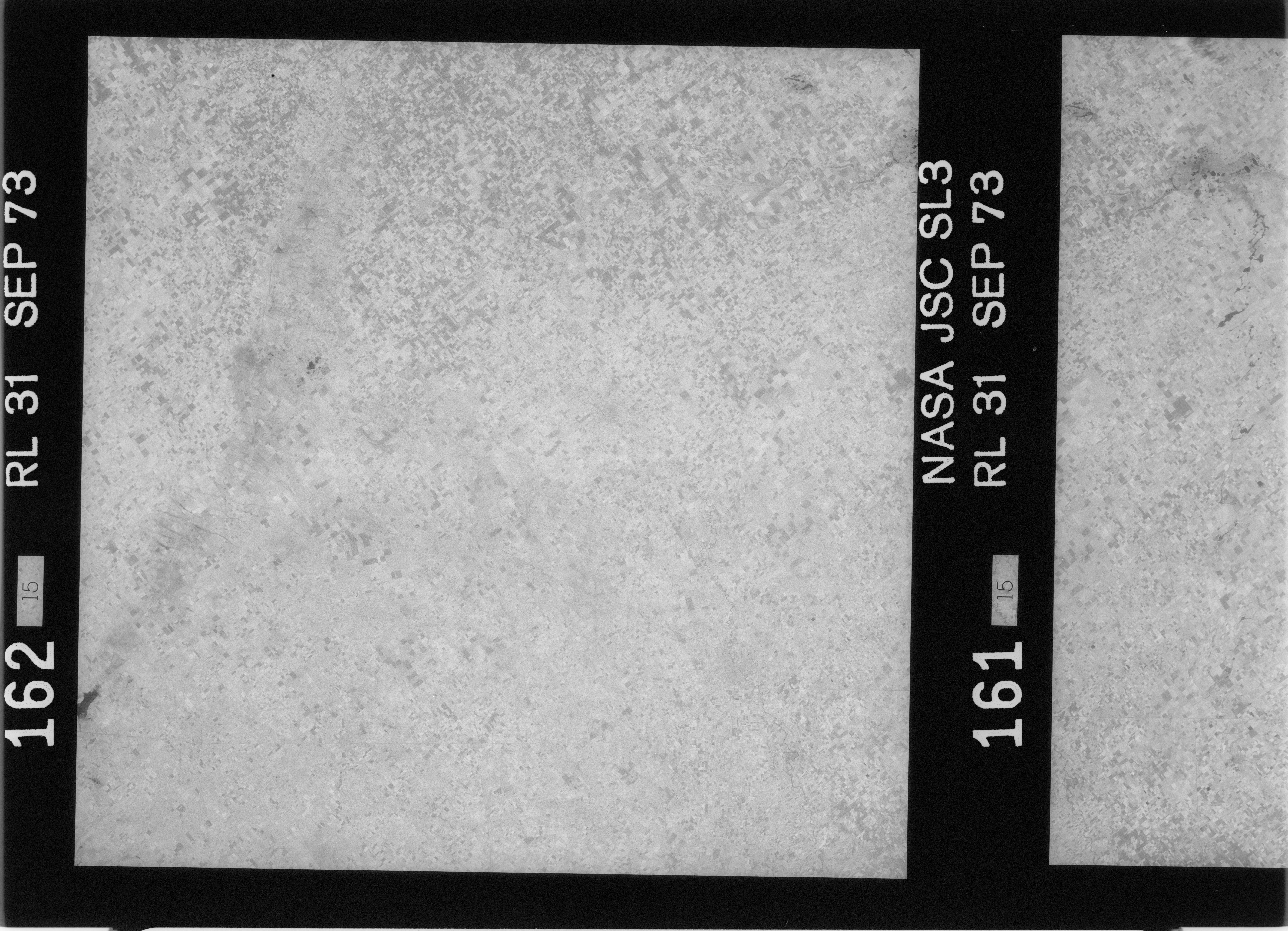
SL3-31-161

| NASA Photo ID | SL3-31-161 |
| Focal Length | 152mm |
| Date taken | 1973.09.04 |
| Time taken | GMT |
Cloud masks available for this image:
Spacecraft nadir point: 32.4° S, 62.6° W
Photo center point: 32.4° S, 62.6° W
Photo center point by machine learning:
Photo center point: 32.4° S, 62.6° W
Photo center point by machine learning:
Nadir to Photo Center:
Spacecraft Altitude: 243 nautical miles (450km)
Country or Geographic Name: | |
Features: | |
| Features Found Using Machine Learning: | |
Cloud Cover Percentage: | 0 (no clouds present) |
Sun Elevation Angle: | ° |
Sun Azimuth: | ° |
Camera: | Skylab Multispectral (S190A) |
Focal Length: | 152mm |
Camera Tilt: | 0 degrees |
Format: | E2424C: Kodak B&W infrared, 0.7-0.8 micron filter band-pass |
Film Exposure: | |
| Additional Information | |
| Width | Height | Annotated | Cropped | Purpose | Links |
|---|---|---|---|---|---|
| 6830 pixels | 4937 pixels | No | No | Download Image | |
| 500 pixels | 361 pixels | No | No | Download Image |
Download Packaged File
Download a Google Earth KML for this Image
View photo footprint information
Download a GeoTIFF for this photo
Image Caption: none
