SL3-28-59
| NASA Photo ID | SL3-28-59 |
| Focal Length | 152mm |
| Date taken | 1973.08.11 |
| Time taken | 15:28:21 GMT |
Resolutions offered for this image:
6830 x 4937 pixels 500 x 361 pixels 5376 x 5306 pixels 1882 x 1857 pixels
6830 x 4937 pixels 500 x 361 pixels 5376 x 5306 pixels 1882 x 1857 pixels


Cloud masks available for this image:
Spacecraft nadir point: 36.4° N, 114.6° W
Photo center point: 36.4° N, 114.6° W
Photo center point by machine learning:
Photo center point: 36.4° N, 114.6° W
Photo center point by machine learning:
Nadir to Photo Center:
Spacecraft Altitude: 238 nautical miles (441km)
Country or Geographic Name: | |
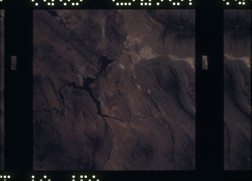
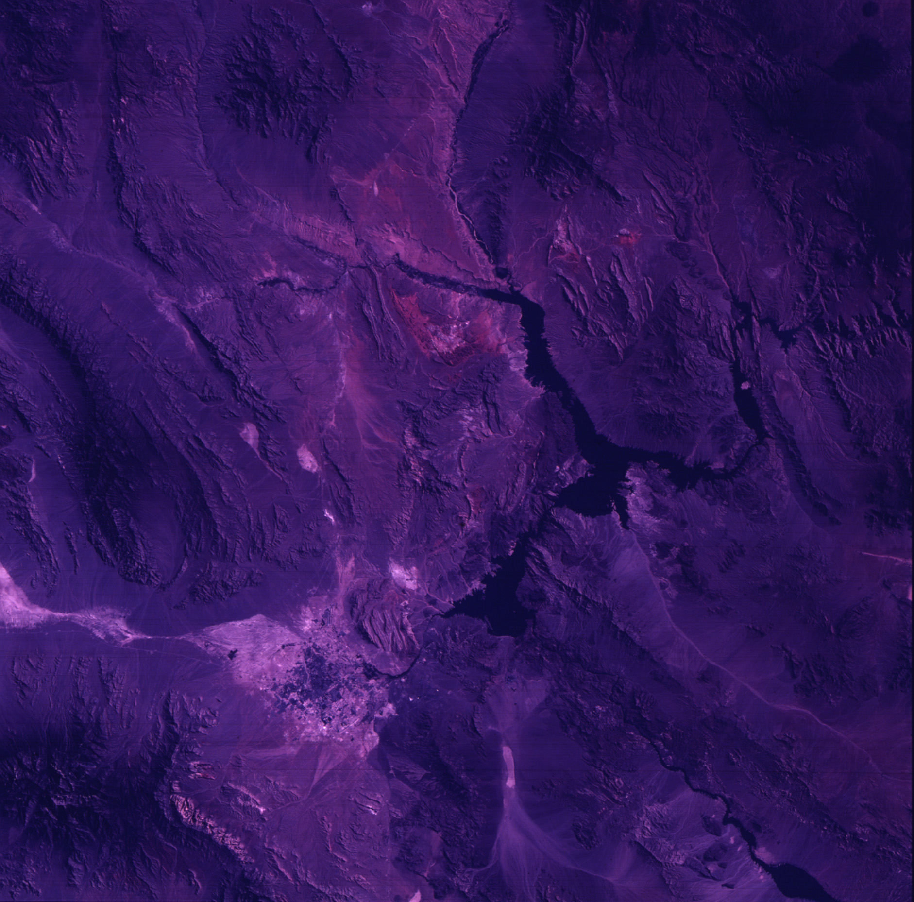
Features: | NEVADA, LAS VEGAS, LAKE MEAD, COLORADO RIVER |
| Features Found Using Machine Learning: | |
Cloud Cover Percentage: | 0 (no clouds present) |
Sun Elevation Angle: | ° |
Sun Azimuth: | ° |
Camera: | Skylab Multispectral (S190A) |
Focal Length: | 152mm |
Camera Tilt: | 0 degrees |
Format: | SO356: Unknown SkyLab |
Film Exposure: | |
| Additional Information | |
| Width | Height | Annotated | Cropped | Purpose | Links |
|---|---|---|---|---|---|
| 6830 pixels | 4937 pixels | No | No | Download Image | |
| 500 pixels | 361 pixels | No | No | Download Image | |
| 5376 pixels | 5306 pixels | No | No | Download Image | |
| 1882 pixels | 1857 pixels | No | No | Download Image |
Download Packaged File
Download a Google Earth KML for this Image
View photo footprint information
Download a GeoTIFF for this photo
Image Caption: A vertical view of the Lake Mead and Las Vegas, Nevada area as photographed from Earth orbit by one of the six lenses of the Itek-furnished S190-A Multispectral Photographic Facility Experiment aboard the Skylab space station. Lake Mead is water of the Colorado River impounded by Hoover Dam. Most of the land in the picture is Nevada, however, a part of the northwest corner of Arizona can be seen.
