NM23-746-713
| NASA Photo ID | NM23-746-713 |
| Focal Length | 250mm |
| Date taken | 1997.04.25 |
| Time taken | 18:24:33 GMT |
Resolutions offered for this image:
4024 x 4030 pixels 639 x 639 pixels 5700 x 6000 pixels 500 x 526 pixels 506 x 498 pixels 478 x 480 pixels
4024 x 4030 pixels 639 x 639 pixels 5700 x 6000 pixels 500 x 526 pixels 506 x 498 pixels 478 x 480 pixels


Cloud masks available for this image:
Spacecraft nadir point: 47.2° N, 82.6° W
Photo center point: 42.5° N, 89.0° W
Photo center point by machine learning:
Photo center point: 42.5° N, 89.0° W
Photo center point by machine learning:
Nadir to Photo Center: Southwest
Spacecraft Altitude: 209 nautical miles (387km)
Country or Geographic Name: | USA-WISCONSIN |
Features: | ROCK RIVER, CITIES |
| Features Found Using Machine Learning: | |
Cloud Cover Percentage: | 5 (1-10)% |
Sun Elevation Angle: | 54° |
Sun Azimuth: | 204° |
Camera: | Hasselblad |
Focal Length: | 250mm |
Camera Tilt: | Low Oblique |
Format: | 5046: Kodak, natural color positive, Lumiere 100/5046, ASA 100, standard base |
Film Exposure: | Normal |
| Additional Information | |
| Width | Height | Annotated | Cropped | Purpose | Links |
|---|---|---|---|---|---|
| 4024 pixels | 4030 pixels | No | No | Earth From Space collection | Download Image |
| 639 pixels | 639 pixels | No | No | Earth From Space collection | Download Image |
| 5700 pixels | 6000 pixels | No | No | Download Image | |
| 500 pixels | 526 pixels | No | No | Download Image | |
| 506 pixels | 498 pixels | No | No | Download Image | |
| 478 pixels | 480 pixels | Download Image |
Download Packaged File
Download a Google Earth KML for this Image
View photo footprint information
Download a GeoTIFF for this photo
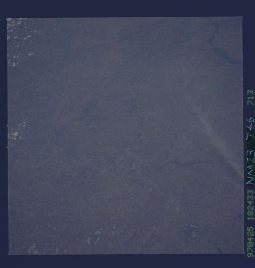
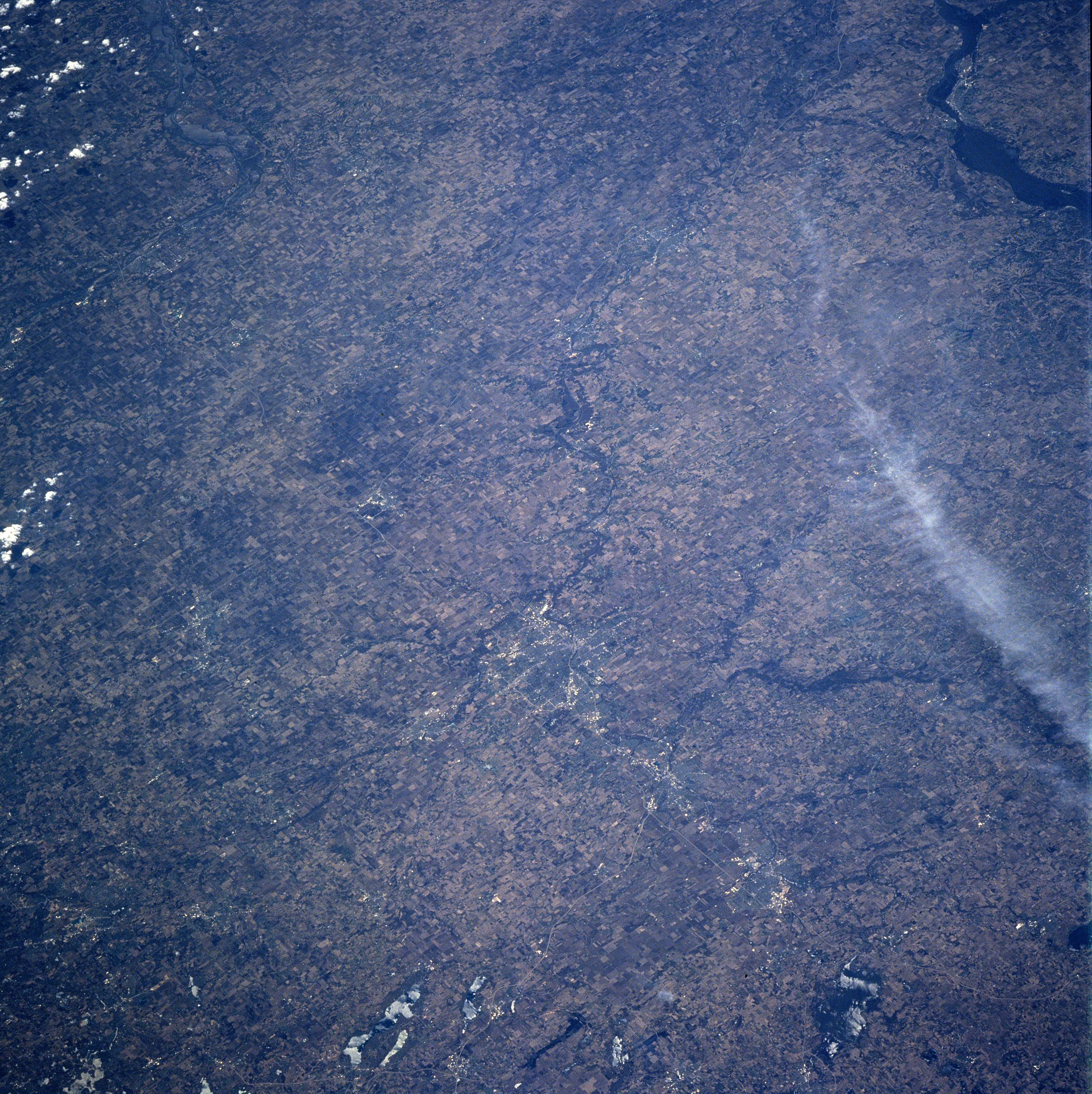
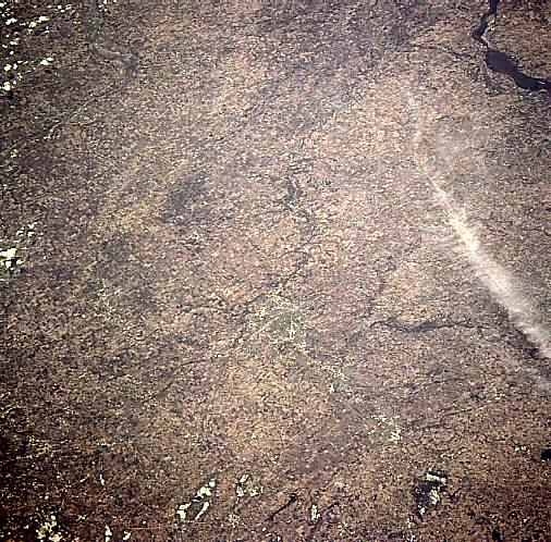
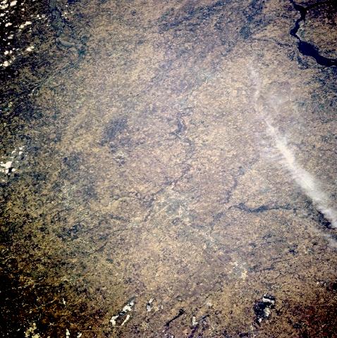
Image Caption: NM23-746-713 Rockford, Illinois Spring, 1997
Numerous agricultural field patterns are visible in this southwest-looking view. The terrain of this portion of Illinois is gently rolling to flat. The major crops grown are corn and soybeans. Just below the center portion of the image, is the city of Rockford. Located on the Rock River, Rockford is the trade, processing, and shipping hub of this extensive agricultural region. The city was founded in 1834 on the site of a battlefield during the Black Hawk Indian War.
Numerous agricultural field patterns are visible in this southwest-looking view. The terrain of this portion of Illinois is gently rolling to flat. The major crops grown are corn and soybeans. Just below the center portion of the image, is the city of Rockford. Located on the Rock River, Rockford is the trade, processing, and shipping hub of this extensive agricultural region. The city was founded in 1834 on the site of a battlefield during the Black Hawk Indian War.
