NM23-719-446
| NASA Photo ID | NM23-719-446 |
| Focal Length | 100mm |
| Date taken | 1997.03.28 |
| Time taken | GMT |
Resolutions offered for this image:
4096 x 4080 pixels 640 x 637 pixels 5700 x 6000 pixels 500 x 526 pixels
4096 x 4080 pixels 640 x 637 pixels 5700 x 6000 pixels 500 x 526 pixels

Cloud masks available for this image:
Spacecraft nadir point:
Photo center point: 31.5° S, 60.0° W
Photo center point by machine learning:
Photo center point: 31.5° S, 60.0° W
Photo center point by machine learning:
Nadir to Photo Center: Southeast
Spacecraft Altitude: nautical miles (0km)
Country or Geographic Name: | ARGENTINA |
Features: | RIO PARANA, AGRICULTURE |
| Features Found Using Machine Learning: | |
Cloud Cover Percentage: | 0 (no clouds present) |
Sun Elevation Angle: | ° |
Sun Azimuth: | ° |
Camera: | Hasselblad |
Focal Length: | 100mm |
Camera Tilt: | Low Oblique |
Format: | 5046: Kodak, natural color positive, Lumiere 100/5046, ASA 100, standard base |
Film Exposure: | Normal |
| Additional Information | |
| Width | Height | Annotated | Cropped | Purpose | Links |
|---|---|---|---|---|---|
| 4096 pixels | 4080 pixels | No | No | Earth From Space collection | Download Image |
| 640 pixels | 637 pixels | No | No | Earth From Space collection | Download Image |
| 5700 pixels | 6000 pixels | No | No | Download Image | |
| 500 pixels | 526 pixels | No | No | Download Image |
Download Packaged File
Download a Google Earth KML for this Image
View photo footprint information
Download a GeoTIFF for this photo
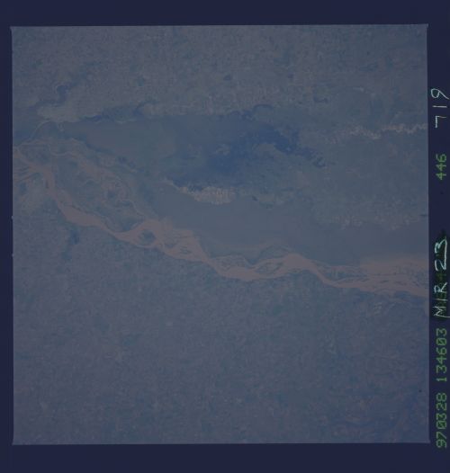
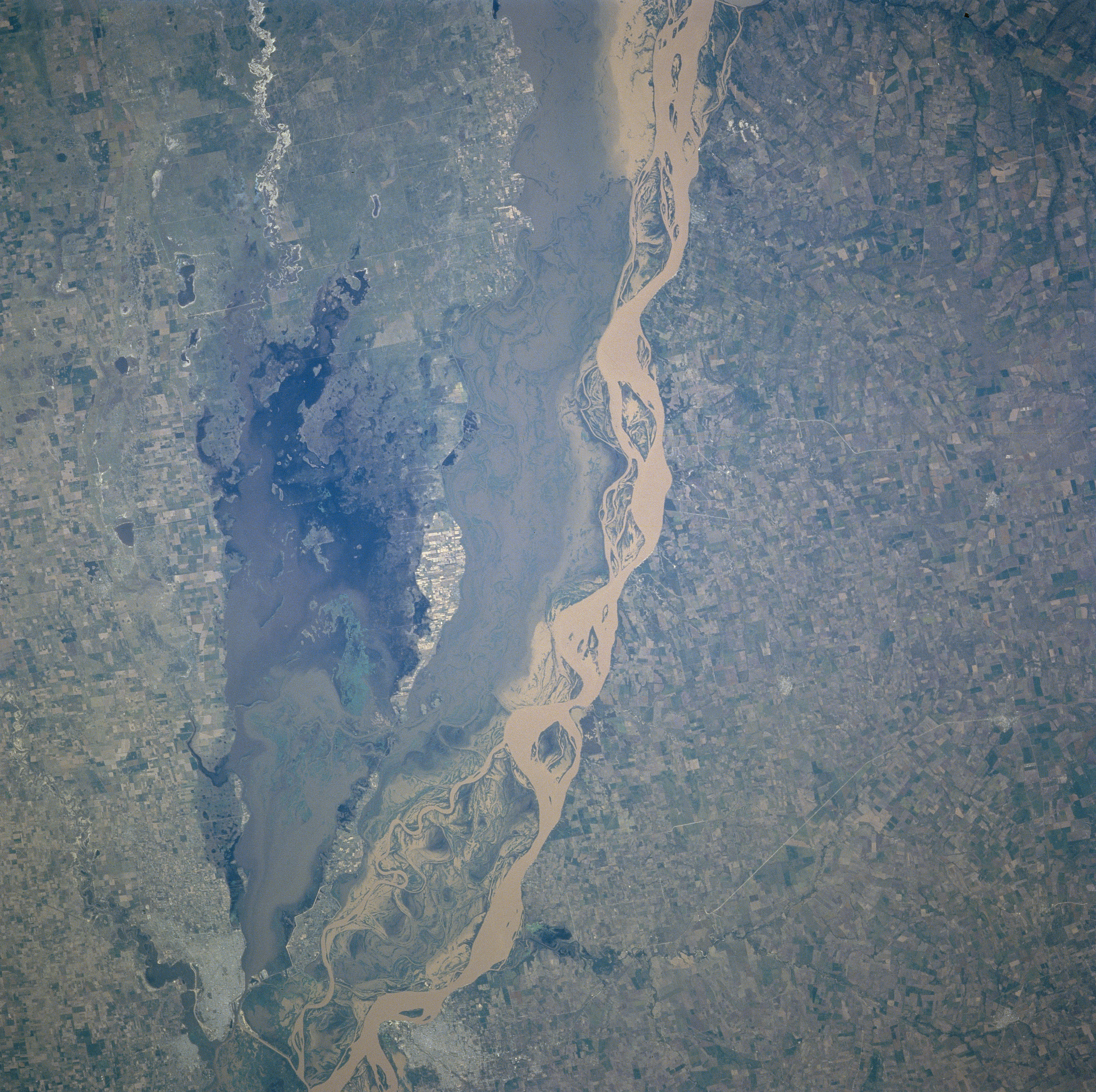
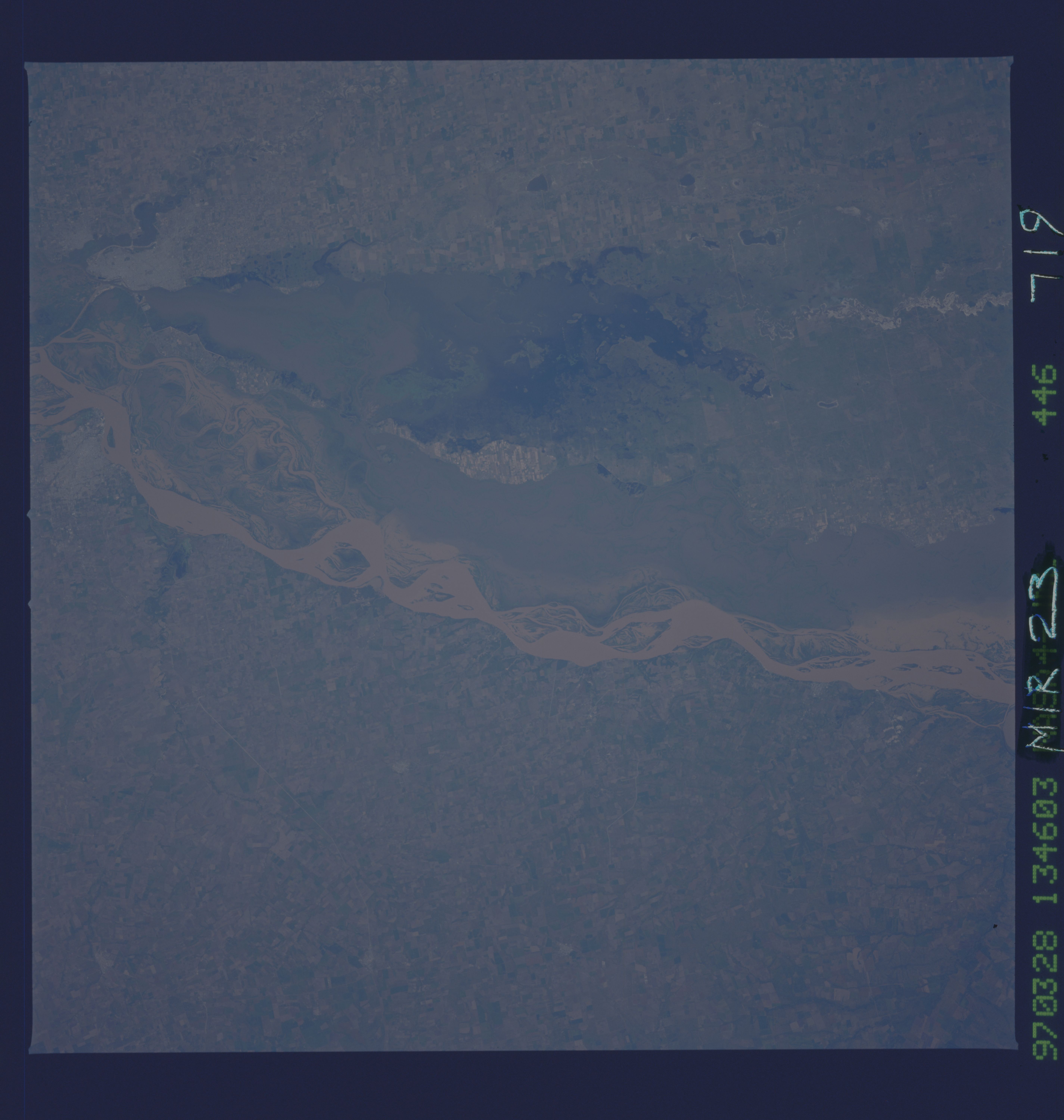
Image Caption: NM23-719-446 Rio Parana, Argentina Winter/Spring 1997
The floodplain of the Rio Parana in northeast Argentina narrows in this section of the river. The two cities of Parana (along the east bank of the river) and Santa Fe (along the west bank) are visible along the southern edge of the image. The main channel (highly reflective surface) of the Rio Parana hugs the eastern edge of the floodplain of the river. A wider swath of muddy water occupies the more westerly part of the Rio Parana floodplain. Notice that a ponding of water has formed north of Santa Fe and that a channel connects the Rio Parana with the standing water, thereby providing a source of muddy water. A section of highway (narrow, light colored line) is visible northeast of Parana. The landscape on both sides of the Rio Parana is used extensively for agriculture. This particular scene in northeast Argentina begins the northern extent of region known as the Pampa, an area of fertile soils and grasslands that is highly productive in terms of agricultural output. (Refer to NM23-719-442, NM23-719-444, and NM23-719-448 for other images and information about this section of the Rio Parana in northeast Argentina).
The floodplain of the Rio Parana in northeast Argentina narrows in this section of the river. The two cities of Parana (along the east bank of the river) and Santa Fe (along the west bank) are visible along the southern edge of the image. The main channel (highly reflective surface) of the Rio Parana hugs the eastern edge of the floodplain of the river. A wider swath of muddy water occupies the more westerly part of the Rio Parana floodplain. Notice that a ponding of water has formed north of Santa Fe and that a channel connects the Rio Parana with the standing water, thereby providing a source of muddy water. A section of highway (narrow, light colored line) is visible northeast of Parana. The landscape on both sides of the Rio Parana is used extensively for agriculture. This particular scene in northeast Argentina begins the northern extent of region known as the Pampa, an area of fertile soils and grasslands that is highly productive in terms of agricultural output. (Refer to NM23-719-442, NM23-719-444, and NM23-719-448 for other images and information about this section of the Rio Parana in northeast Argentina).
