NM23-703-206

| NASA Photo ID | NM23-703-206 |
| Focal Length | 100mm |
| Date taken | 1997.03.08 |
| Time taken | GMT |
Resolutions offered for this image:
4064 x 4096 pixels 635 x 640 pixels 5700 x 6000 pixels 500 x 526 pixels
4064 x 4096 pixels 635 x 640 pixels 5700 x 6000 pixels 500 x 526 pixels

Cloud masks available for this image:
Spacecraft nadir point:
Photo center point: 44.0° N, 5.0° E
Photo center point by machine learning:
Photo center point: 44.0° N, 5.0° E
Photo center point by machine learning:
Nadir to Photo Center:
Spacecraft Altitude: nautical miles (0km)
Country or Geographic Name: | FRANCE |
Features: | RHONE RIVER, BERRE LAGOON |
| Features Found Using Machine Learning: | |
Cloud Cover Percentage: | 0 (no clouds present) |
Sun Elevation Angle: | ° |
Sun Azimuth: | ° |
Camera: | Hasselblad |
Focal Length: | 100mm |
Camera Tilt: | |
Format: | 5046: Kodak, natural color positive, Lumiere 100/5046, ASA 100, standard base |
Film Exposure: | Normal |
| Additional Information | |
| Width | Height | Annotated | Cropped | Purpose | Links |
|---|---|---|---|---|---|
| 4064 pixels | 4096 pixels | No | No | Earth From Space collection | Download Image |
| 635 pixels | 640 pixels | No | No | Earth From Space collection | Download Image |
| 5700 pixels | 6000 pixels | No | No | Download Image | |
| 500 pixels | 526 pixels | No | No | Download Image |
Download Packaged File
Download a Google Earth KML for this Image
View photo footprint information
Download a GeoTIFF for this photo
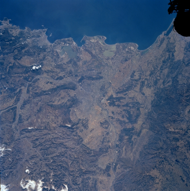
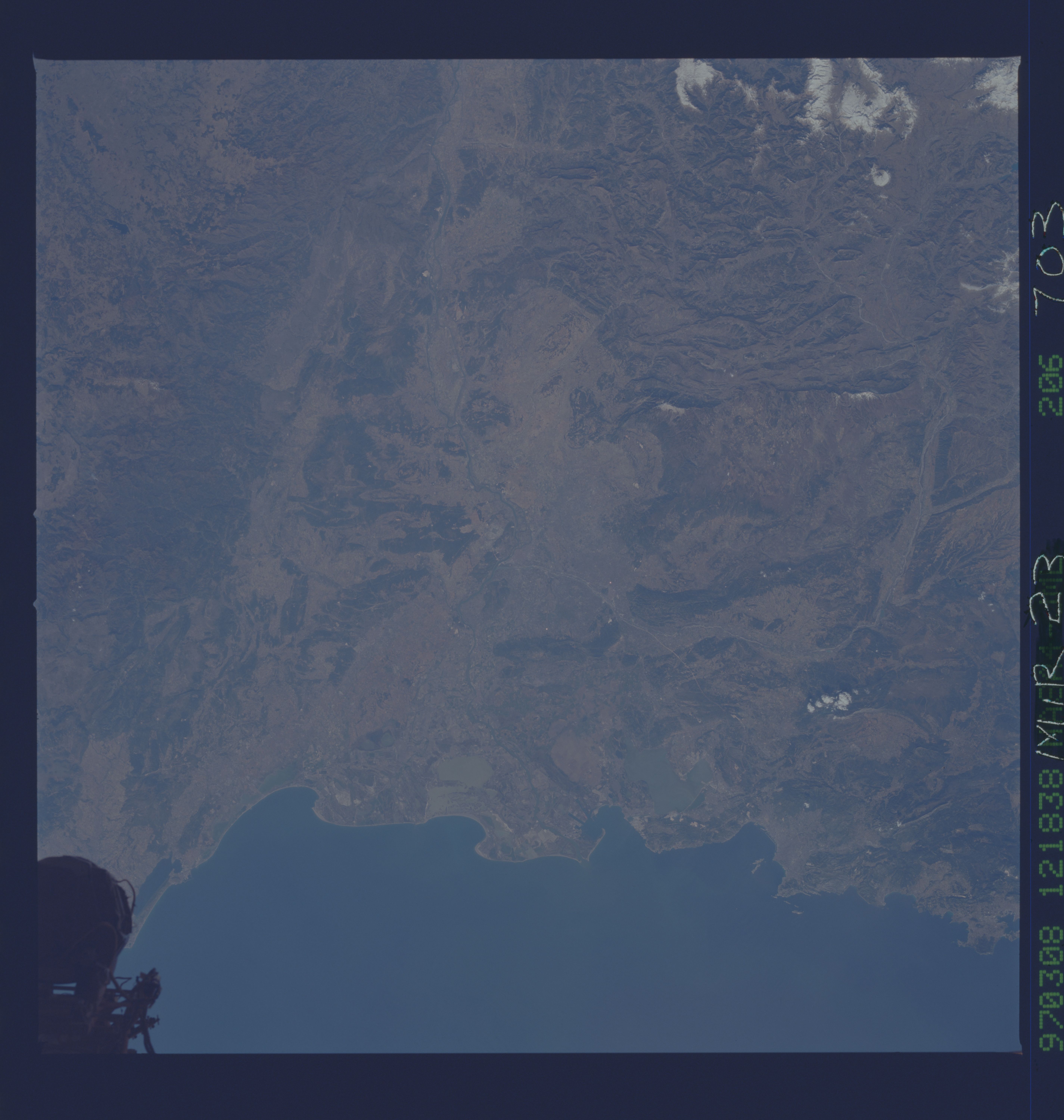
Image Caption: NM23-703-206 Rhone River Delta, France Winter/Spring 1997
The valley and mouth of the Rhone River can be seen in this south-looking view. Separating the French Alps to the east (left) and the Massif Central to the west (right), the Rhone River Valley is covered with excellent vineyards, fruit and vegetable gardens. The Rhone River enters the scene from the bottom center of the image. The Durance River can be seen entering the scene near the left center of the view. The Durance River joins the Rhone River near the center of the image near the city of Avignon (city not discernible on image). Just to the south of Avignon, near Arles the Rhone River separates into two higly silted branches, the Grand Rhone which continues to flow generally southward into the Gulf of Lions (upper portion of the image), and the Petite Rhone which flows southeastward into a series of lagoons and marshes before entering the Gulf of Lyons.
The valley and mouth of the Rhone River can be seen in this south-looking view. Separating the French Alps to the east (left) and the Massif Central to the west (right), the Rhone River Valley is covered with excellent vineyards, fruit and vegetable gardens. The Rhone River enters the scene from the bottom center of the image. The Durance River can be seen entering the scene near the left center of the view. The Durance River joins the Rhone River near the center of the image near the city of Avignon (city not discernible on image). Just to the south of Avignon, near Arles the Rhone River separates into two higly silted branches, the Grand Rhone which continues to flow generally southward into the Gulf of Lions (upper portion of the image), and the Petite Rhone which flows southeastward into a series of lagoons and marshes before entering the Gulf of Lyons.
