NM23-703-204
| NASA Photo ID | NM23-703-204 |
| Focal Length | 100mm |
| Date taken | 1997.03.08 |
| Time taken | GMT |
Resolutions offered for this image:
4072 x 4096 pixels 636 x 640 pixels 5700 x 6000 pixels 500 x 526 pixels
4072 x 4096 pixels 636 x 640 pixels 5700 x 6000 pixels 500 x 526 pixels

Cloud masks available for this image:
Spacecraft nadir point:
Photo center point: 45.0° N, 3.0° E
Photo center point by machine learning:
Photo center point: 45.0° N, 3.0° E
Photo center point by machine learning:
Nadir to Photo Center:
Spacecraft Altitude: nautical miles (0km)
Country or Geographic Name: | FRANCE |
Features: | ERODED PEAK |
| Features Found Using Machine Learning: | |
Cloud Cover Percentage: | 0 (no clouds present) |
Sun Elevation Angle: | ° |
Sun Azimuth: | ° |
Camera: | Hasselblad |
Focal Length: | 100mm |
Camera Tilt: | Low Oblique |
Format: | 5046: Kodak, natural color positive, Lumiere 100/5046, ASA 100, standard base |
Film Exposure: | Normal |
| Additional Information | |
| Width | Height | Annotated | Cropped | Purpose | Links |
|---|---|---|---|---|---|
| 4072 pixels | 4096 pixels | No | No | Earth From Space collection | Download Image |
| 636 pixels | 640 pixels | No | No | Earth From Space collection | Download Image |
| 5700 pixels | 6000 pixels | No | No | Download Image | |
| 500 pixels | 526 pixels | No | No | Download Image |
Download Packaged File
Download a Google Earth KML for this Image
View photo footprint information
Download a GeoTIFF for this photo
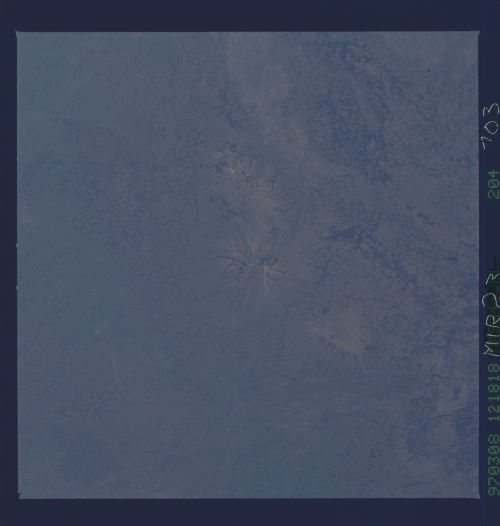
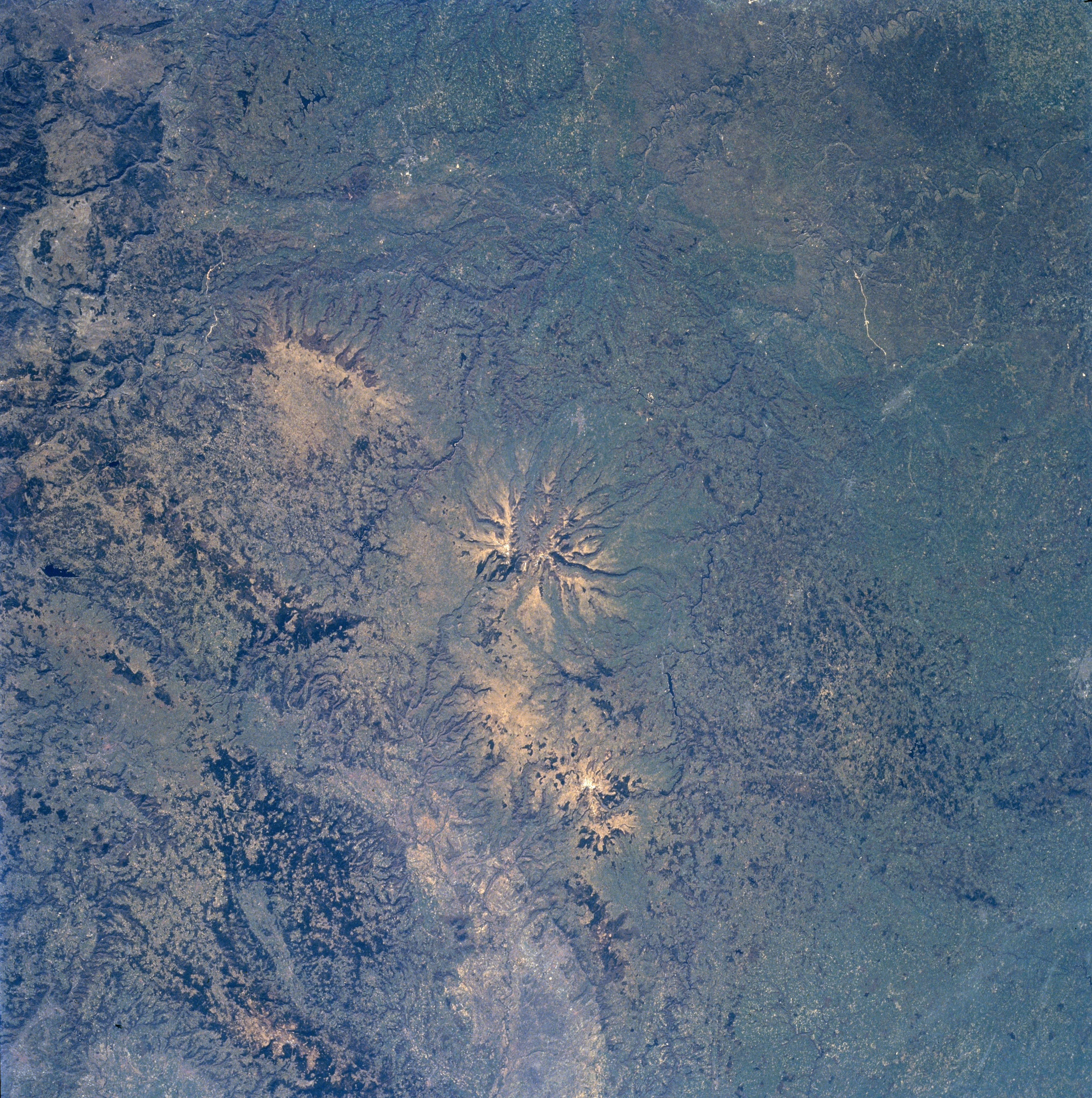
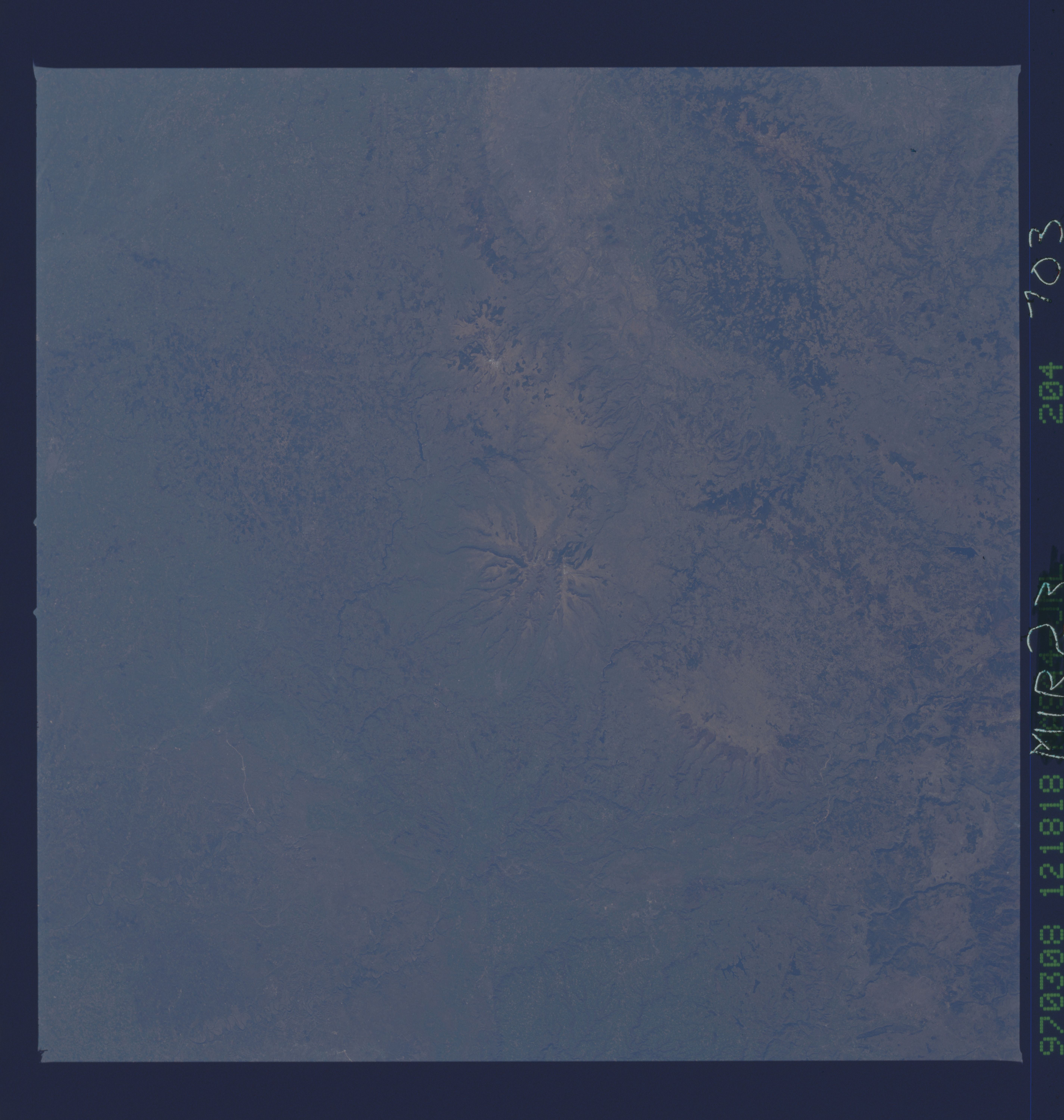
Image Caption: NM23-703-204 Massif Central, Puys Volcanic Chain, France Winter/Spring 1997
One of the series of 60 volcanic cones (center of image) of the Puys Volcanic Chain in the Massif Central in south-central France can be seen in this southeast-looking low-oblique view. The Massif Central is a great mountainous plateau covering 33000 sq. miles (85470 sq. km). It is the most rugged and geologically diverse region in France. This ancient eroded upland of granite rock rises up to 2600 feet (800 meters) above sea level. Volcanism began in the region about 20 million years ago. Eruptions of the Puys Volcanic Chain began about 150000 years ago. Strombolian and Pelean type eruptions occurred and finally ceased about 6000 years ago. Lava flows spread out [radial drainage pattern] in all directions as can be seen on the image. Elevations of most of the Puys (peaks) are in excess of 4000 feet (1200 meters). The Puys Volcanic Chain stretches north to south 25 miles (40 km) and is part of the Auvergne Mountains. Many of the volcanic chain's peaks have scarcely been altered by erosion and remain virtually intact. Pasturelands, shrubs, and even extensive forests cover the area. The unique landscape of the whole region brings in thousands of tourists from around the world.
One of the series of 60 volcanic cones (center of image) of the Puys Volcanic Chain in the Massif Central in south-central France can be seen in this southeast-looking low-oblique view. The Massif Central is a great mountainous plateau covering 33000 sq. miles (85470 sq. km). It is the most rugged and geologically diverse region in France. This ancient eroded upland of granite rock rises up to 2600 feet (800 meters) above sea level. Volcanism began in the region about 20 million years ago. Eruptions of the Puys Volcanic Chain began about 150000 years ago. Strombolian and Pelean type eruptions occurred and finally ceased about 6000 years ago. Lava flows spread out [radial drainage pattern] in all directions as can be seen on the image. Elevations of most of the Puys (peaks) are in excess of 4000 feet (1200 meters). The Puys Volcanic Chain stretches north to south 25 miles (40 km) and is part of the Auvergne Mountains. Many of the volcanic chain's peaks have scarcely been altered by erosion and remain virtually intact. Pasturelands, shrubs, and even extensive forests cover the area. The unique landscape of the whole region brings in thousands of tourists from around the world.
