NM22-724-48
| NASA Photo ID | NM22-724-48 |
| Focal Length | 250mm |
| Date taken | 1996.10.17 |
| Time taken | GMT |
Resolutions offered for this image:
4042 x 4042 pixels 640 x 640 pixels 5700 x 6000 pixels 500 x 526 pixels 518 x 512 pixels 725 x 717 pixels
4042 x 4042 pixels 640 x 640 pixels 5700 x 6000 pixels 500 x 526 pixels 518 x 512 pixels 725 x 717 pixels

Cloud masks available for this image:
Spacecraft nadir point:
Photo center point: 23.0° N, 82.5° W
Photo center point by machine learning:
Photo center point: 23.0° N, 82.5° W
Photo center point by machine learning:
Nadir to Photo Center:
Spacecraft Altitude: nautical miles (0km)
Country or Geographic Name: | CUBA |
Features: | HAVANA, COAST, AGRICULTURE |
| Features Found Using Machine Learning: | |
Cloud Cover Percentage: | 5 (1-10)% |
Sun Elevation Angle: | ° |
Sun Azimuth: | ° |
Camera: | Hasselblad |
Focal Length: | 250mm |
Camera Tilt: | Low Oblique |
Format: | 5046: Kodak, natural color positive, Lumiere 100/5046, ASA 100, standard base |
Film Exposure: | Normal |
| Additional Information | |
| Width | Height | Annotated | Cropped | Purpose | Links |
|---|---|---|---|---|---|
| 4042 pixels | 4042 pixels | No | No | Earth From Space collection | Download Image |
| 640 pixels | 640 pixels | No | No | Earth From Space collection | Download Image |
| 5700 pixels | 6000 pixels | No | No | Download Image | |
| 500 pixels | 526 pixels | No | No | Download Image | |
| 518 pixels | 512 pixels | No | No | Download Image | |
| 725 pixels | 717 pixels | No | No | Download Image |
Download Packaged File
Download a Google Earth KML for this Image
View photo footprint information
Download a GeoTIFF for this photo
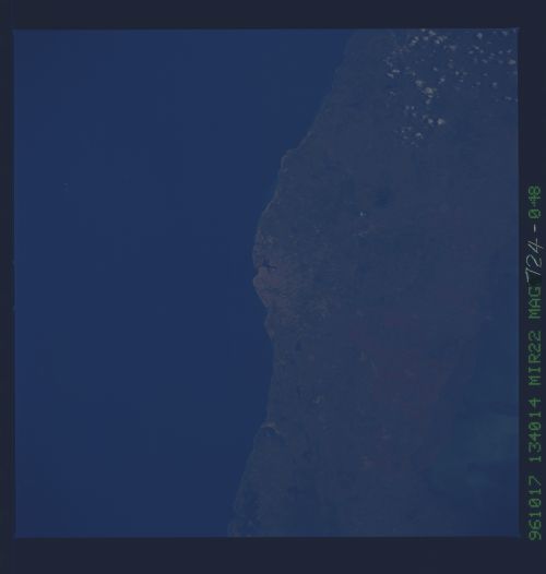
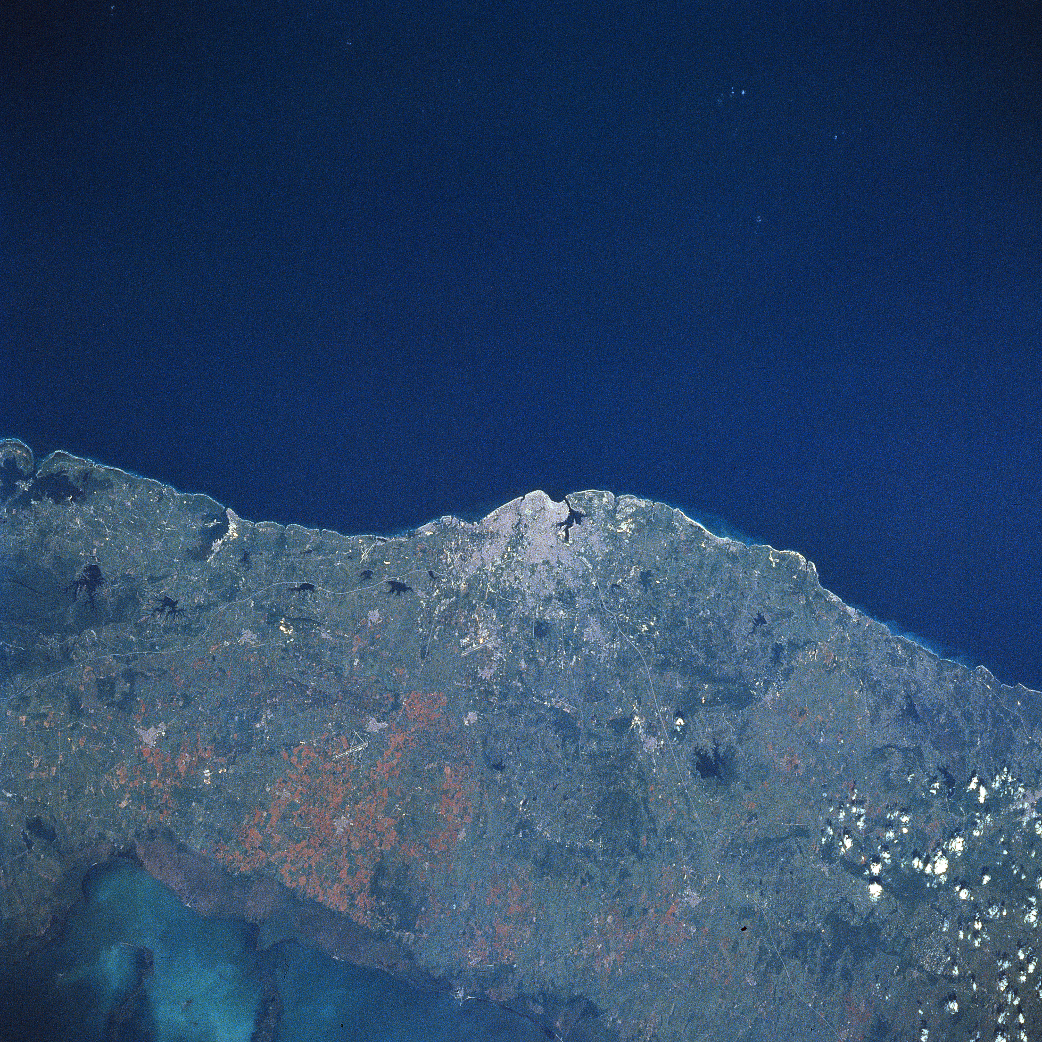
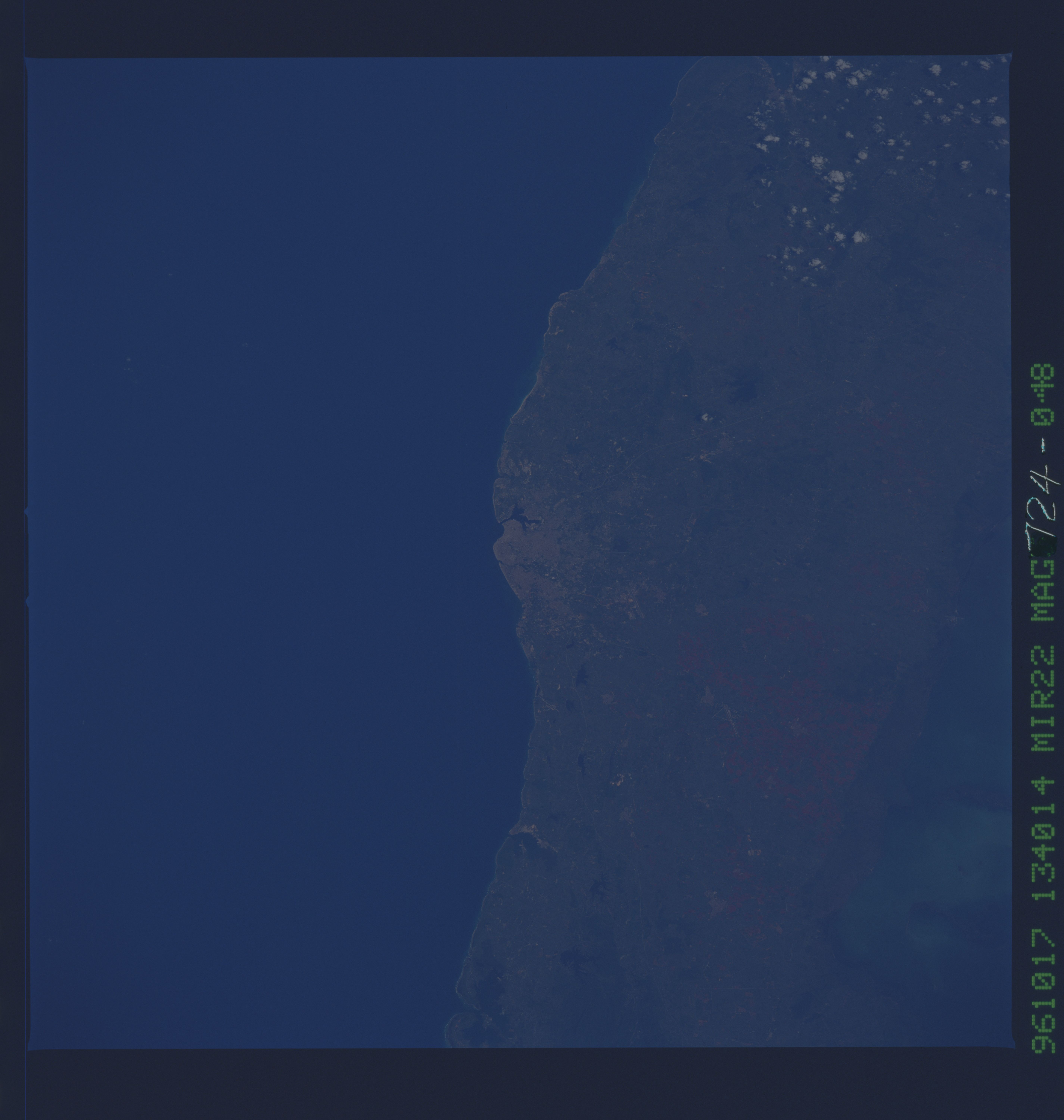
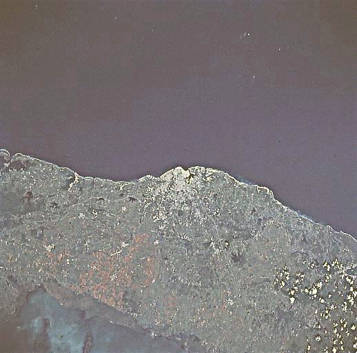
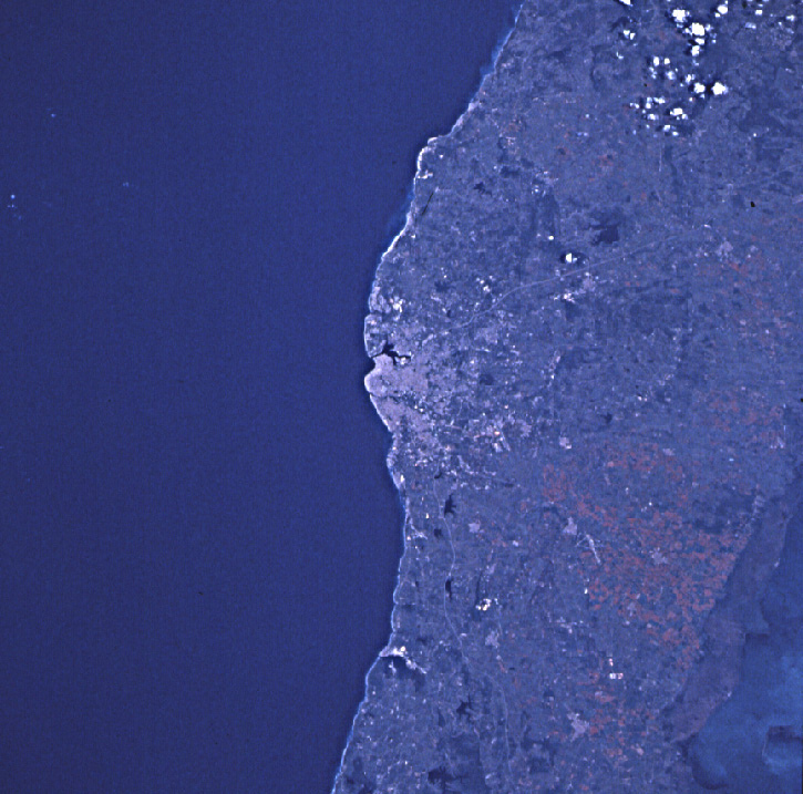
Image Caption: NM22-724-048 Havana, Cuba Fall/Winter 1996
Located at the center of the image, the capital city of Cuba, Havana, can be seen in this near-nadir view. Havana, the largest populated city in the West Indies and one of the oldest, has one of the best ports in the Western Hemisphere. Exports include sugar, cigars, tobacco, and coffee. Most of the city's residential areas are located in the low-rolling hills terrain to the west and south of the city. To the southwest of Havana (16 miles, 25 km), the main north-south runway (light, linear feature) of the Jose Marti International Airport (midway between the center and bottom left) is discernible. The Straits of Florida covers the upper half of the image. The Gulf of Batabano is visible in the lower left portion of the image.
Located at the center of the image, the capital city of Cuba, Havana, can be seen in this near-nadir view. Havana, the largest populated city in the West Indies and one of the oldest, has one of the best ports in the Western Hemisphere. Exports include sugar, cigars, tobacco, and coffee. Most of the city's residential areas are located in the low-rolling hills terrain to the west and south of the city. To the southwest of Havana (16 miles, 25 km), the main north-south runway (light, linear feature) of the Jose Marti International Airport (midway between the center and bottom left) is discernible. The Straits of Florida covers the upper half of the image. The Gulf of Batabano is visible in the lower left portion of the image.
