NM21-774-9
| NASA Photo ID | NM21-774-9 |
| Focal Length | 50mm |
| Date taken | 1996.07.21 |
| Time taken | 07:32:02 GMT |
Resolutions offered for this image:
4096 x 4096 pixels 640 x 640 pixels 5700 x 6000 pixels 500 x 526 pixels
4096 x 4096 pixels 640 x 640 pixels 5700 x 6000 pixels 500 x 526 pixels

Cloud masks available for this image:
Spacecraft nadir point: 45.2° N, 28.6° E
Photo center point: 45.5° N, 29.0° E
Photo center point by machine learning:
Photo center point: 45.5° N, 29.0° E
Photo center point by machine learning:
Nadir to Photo Center: Northeast
Spacecraft Altitude: 207 nautical miles (383km)
Country or Geographic Name: | UKRAINE |
Features: | DANUBE RIVER DELTA, AGR. |
| Features Found Using Machine Learning: | |
Cloud Cover Percentage: | 10 (1-10)% |
Sun Elevation Angle: | 49° |
Sun Azimuth: | 113° |
Camera: | Hasselblad |
Focal Length: | 50mm |
Camera Tilt: | 8 degrees |
Format: | 5046: Kodak, natural color positive, Lumiere 100/5046, ASA 100, standard base |
Film Exposure: | Normal |
| Additional Information | |
| Width | Height | Annotated | Cropped | Purpose | Links |
|---|---|---|---|---|---|
| 4096 pixels | 4096 pixels | No | No | Earth From Space collection | Download Image |
| 640 pixels | 640 pixels | No | No | Earth From Space collection | Download Image |
| 5700 pixels | 6000 pixels | No | No | Download Image | |
| 500 pixels | 526 pixels | No | No | Download Image |
Download Packaged File
Download a Google Earth KML for this Image
View photo footprint information
Download a GeoTIFF for this photo
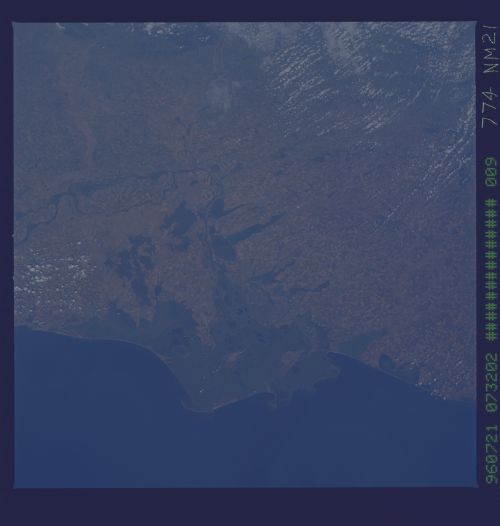
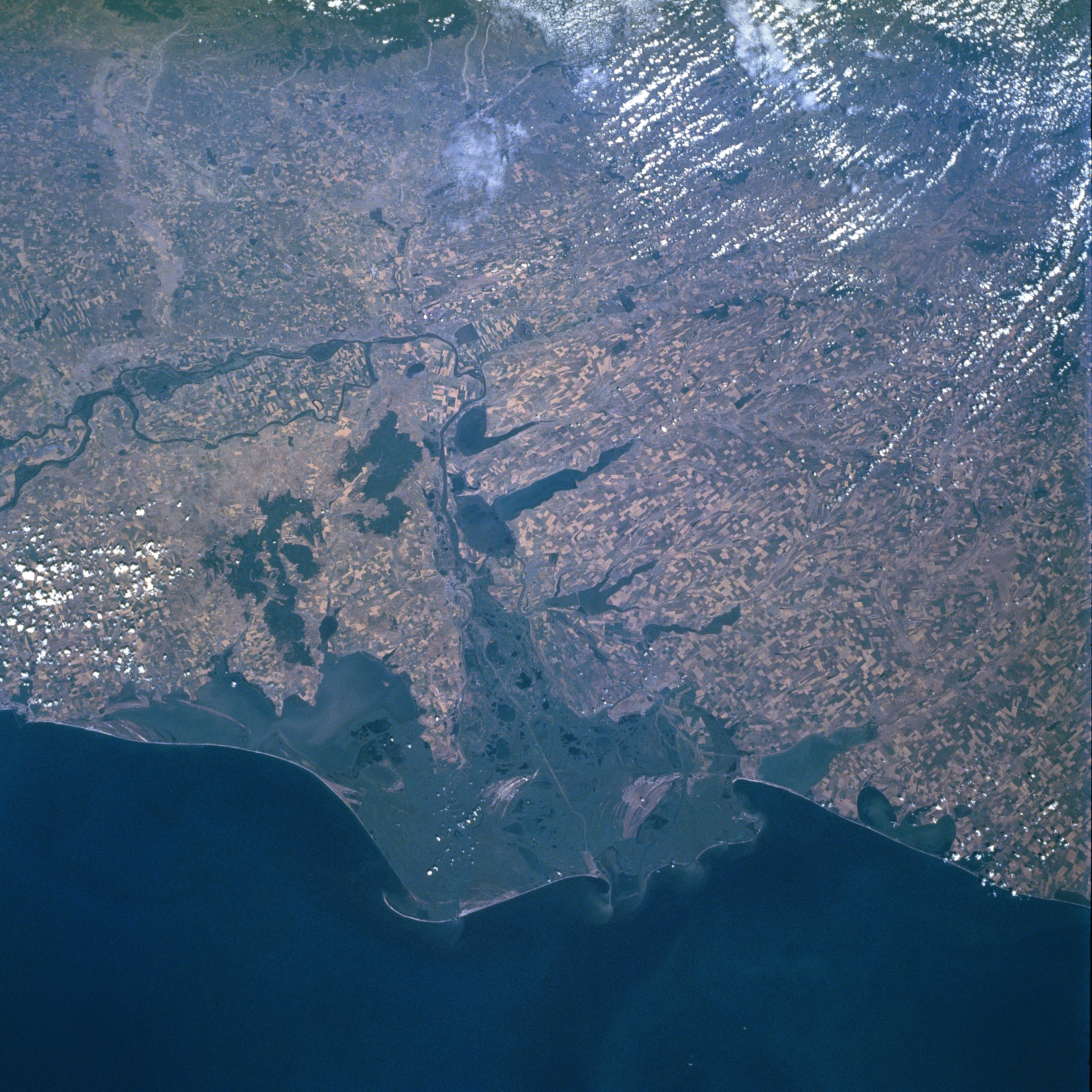
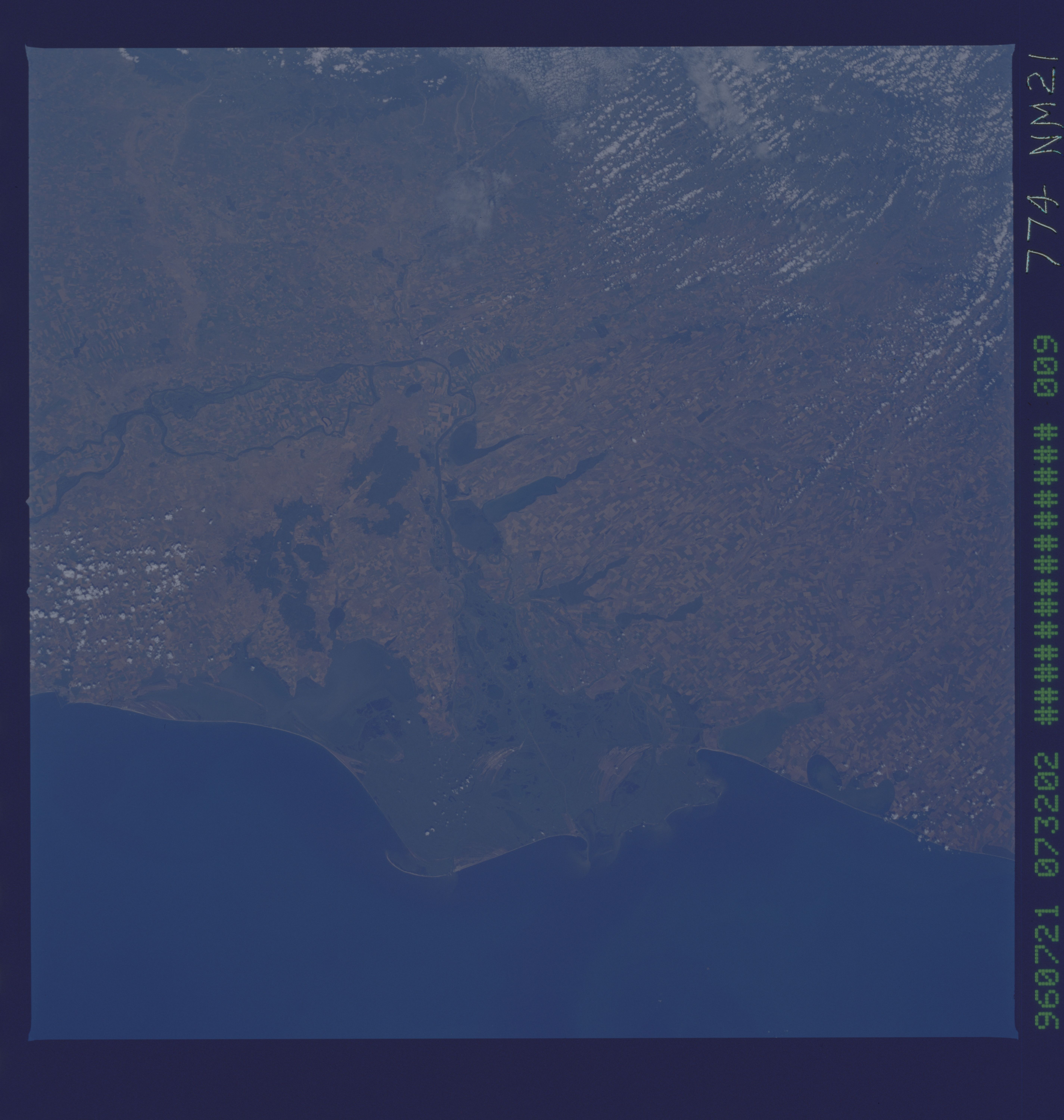
Image Caption: NM21-774-009 Danube River Delta, Romania Spring/Summer 1996
The Danube River (dark meandering line- left middle) makes an abrupt course change near the center of this west-looking, synoptic view. The Danube then heads eastward draining the expansive marshlands of this unique western delta, eventually emptying into the western end of the Black Sea. Three major channels (only the straighter, middle channel is visible in this image) help drain this large wetland. The east-west section of the Danube River (vertical orientation in this image) shown in this scene forms the border between Romania (south of the river) and the southern tips of the Moldova (area north of river near center of image) and the Ukraine (north of the river, lower right quadrant). Even at this scale large, cultivated field patterns are observed throughout the scene. In particular notice the intensively cultivated landscape on the large island created by two branches of the Danube River (left middle). Refer to STS85-704-022, a color infrared image, to be able to effectively interpret the uniform, dark greenish-looking features. With the aid of the color infrared image, it is easier to discriminate land-water boundaries as well as vegetation versus water surfaces. Compare for example the lakes north of the river (Ukraine) with the elevated and forested (deeper reds on the color infrared image) region south of the river (Romania). It is also easier to discriminate vegetated areas in and around the delta versus the open water areas (lagoons, estuaries, lakes) along the coast.
The Danube River (dark meandering line- left middle) makes an abrupt course change near the center of this west-looking, synoptic view. The Danube then heads eastward draining the expansive marshlands of this unique western delta, eventually emptying into the western end of the Black Sea. Three major channels (only the straighter, middle channel is visible in this image) help drain this large wetland. The east-west section of the Danube River (vertical orientation in this image) shown in this scene forms the border between Romania (south of the river) and the southern tips of the Moldova (area north of river near center of image) and the Ukraine (north of the river, lower right quadrant). Even at this scale large, cultivated field patterns are observed throughout the scene. In particular notice the intensively cultivated landscape on the large island created by two branches of the Danube River (left middle). Refer to STS85-704-022, a color infrared image, to be able to effectively interpret the uniform, dark greenish-looking features. With the aid of the color infrared image, it is easier to discriminate land-water boundaries as well as vegetation versus water surfaces. Compare for example the lakes north of the river (Ukraine) with the elevated and forested (deeper reds on the color infrared image) region south of the river (Romania). It is also easier to discriminate vegetated areas in and around the delta versus the open water areas (lagoons, estuaries, lakes) along the coast.
