NM21-774-44
| NASA Photo ID | NM21-774-44 |
| Focal Length | 250mm |
| Date taken | 1996.07.21 |
| Time taken | 15:14:30 GMT |
Resolutions offered for this image:
3880 x 3904 pixels 636 x 639 pixels 5700 x 6000 pixels 4200 x 4244 pixels 500 x 526 pixels
3880 x 3904 pixels 636 x 639 pixels 5700 x 6000 pixels 4200 x 4244 pixels 500 x 526 pixels


Cloud masks available for this image:
Spacecraft nadir point: 41.7° N, 81.3° W
Photo center point: 40.5° N, 80.0° W
Photo center point by machine learning:
Photo center point: 40.5° N, 80.0° W
Photo center point by machine learning:
Nadir to Photo Center: Southeast
Spacecraft Altitude: 207 nautical miles (383km)
Country or Geographic Name: | USA-PENNSYLVANIA |
Features: | PITTSBURGH, MONONGAHELA R |
| Features Found Using Machine Learning: | |
Cloud Cover Percentage: | 0 (no clouds present) |
Sun Elevation Angle: | 54° |
Sun Azimuth: | 116° |
Camera: | Hasselblad |
Focal Length: | 250mm |
Camera Tilt: | 27 degrees |
Format: | 5046: Kodak, natural color positive, Lumiere 100/5046, ASA 100, standard base |
Film Exposure: | Normal |
| Additional Information | |
| Width | Height | Annotated | Cropped | Purpose | Links |
|---|---|---|---|---|---|
| 3880 pixels | 3904 pixels | No | No | Earth From Space collection | Download Image |
| 636 pixels | 639 pixels | No | No | Earth From Space collection | Download Image |
| 5700 pixels | 6000 pixels | No | No | Download Image | |
| 4200 pixels | 4244 pixels | No | No | Download Image | |
| 500 pixels | 526 pixels | No | No | Download Image |
Download Packaged File
Download a Google Earth KML for this Image
View photo footprint information
Download a GeoTIFF for this photo
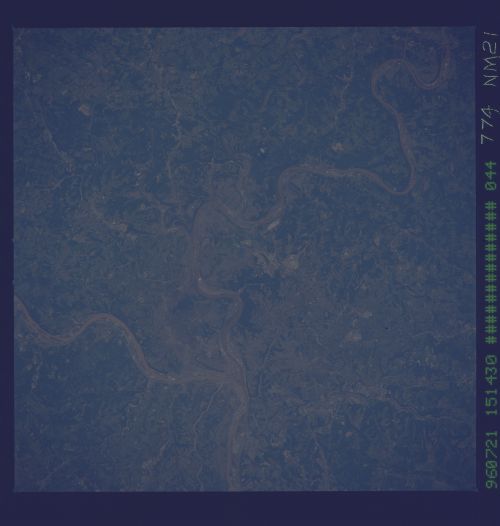
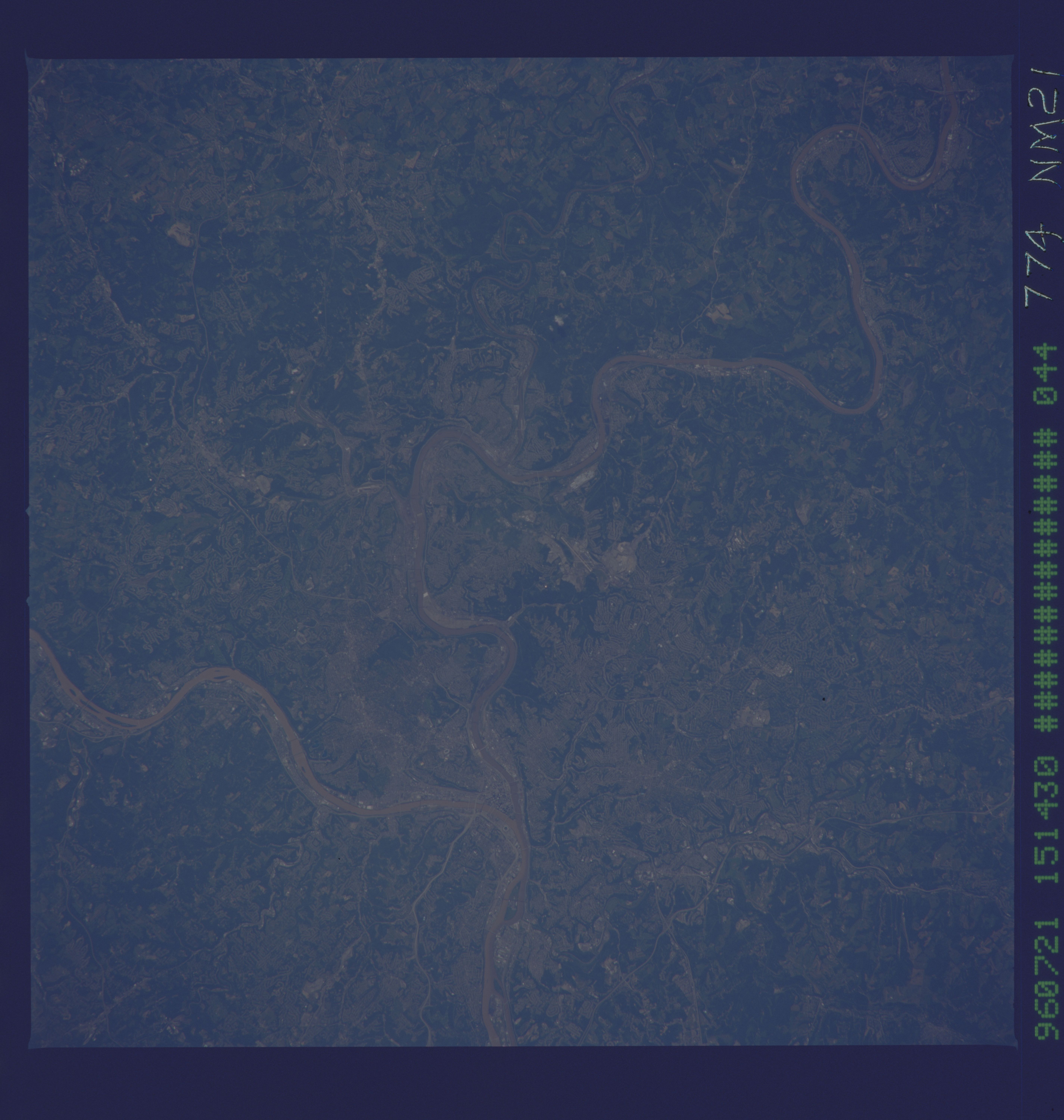
Image Caption: NM21-774-044 Pittsburgh, Pennsylvania Spring-Summer 1996
The built-up metropolitan area that is the city of Pittsburgh is difficult to identify in this image because of the small scale, low spatial resolution, and in fact that most of the residential subdivisions contain vegetative cover that at least partially obscures the urban sprawl that surrounds the downtown core. Downtown Pittsburgh, or the central business district, is located at the apex of the influence of the southwest flowing Allegheny River and the northerly flowing Monongahela River (right center). These two rivers merge to become the Ohio River. Parts of several highway thoroughfares can be traced across the hilly terrain. The light colored, linear roadways include Interstate Highway 279 (left center); Interstate Highway 379 (lower left); Us highway 30 (left center); and state Highway 51 (towards upper left center). Residential development and highway orientation patterns have been greatly controlled by the local topography. The darker features of the image show the distribution of the more densely wooded terrain.
The built-up metropolitan area that is the city of Pittsburgh is difficult to identify in this image because of the small scale, low spatial resolution, and in fact that most of the residential subdivisions contain vegetative cover that at least partially obscures the urban sprawl that surrounds the downtown core. Downtown Pittsburgh, or the central business district, is located at the apex of the influence of the southwest flowing Allegheny River and the northerly flowing Monongahela River (right center). These two rivers merge to become the Ohio River. Parts of several highway thoroughfares can be traced across the hilly terrain. The light colored, linear roadways include Interstate Highway 279 (left center); Interstate Highway 379 (lower left); Us highway 30 (left center); and state Highway 51 (towards upper left center). Residential development and highway orientation patterns have been greatly controlled by the local topography. The darker features of the image show the distribution of the more densely wooded terrain.
