NM21-769-18
| NASA Photo ID | NM21-769-18 |
| Focal Length | 100mm |
| Date taken | 1996.07.09 |
| Time taken | GMT |
Resolutions offered for this image:
4096 x 4096 pixels 640 x 640 pixels 5700 x 6000 pixels 500 x 526 pixels
4096 x 4096 pixels 640 x 640 pixels 5700 x 6000 pixels 500 x 526 pixels

Cloud masks available for this image:
Spacecraft nadir point:
Photo center point: 48.0° N, 34.0° E
Photo center point by machine learning:
Photo center point: 48.0° N, 34.0° E
Photo center point by machine learning:
Nadir to Photo Center: East
Spacecraft Altitude: nautical miles (0km)
Country or Geographic Name: | UKRAINE |
Features: | DNIEPER RIVER, RES., AGR. |
| Features Found Using Machine Learning: | |
Cloud Cover Percentage: | 0 (no clouds present) |
Sun Elevation Angle: | ° |
Sun Azimuth: | ° |
Camera: | Hasselblad |
Focal Length: | 100mm |
Camera Tilt: | Low Oblique |
Format: | 5046: Kodak, natural color positive, Lumiere 100/5046, ASA 100, standard base |
Film Exposure: | Normal |
| Additional Information | |
| Width | Height | Annotated | Cropped | Purpose | Links |
|---|---|---|---|---|---|
| 4096 pixels | 4096 pixels | No | No | Earth From Space collection | Download Image |
| 640 pixels | 640 pixels | No | No | Earth From Space collection | Download Image |
| 5700 pixels | 6000 pixels | No | No | Download Image | |
| 500 pixels | 526 pixels | No | No | Download Image |
Download Packaged File
Download a Google Earth KML for this Image
View photo footprint information
Download a GeoTIFF for this photo
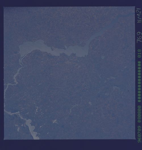
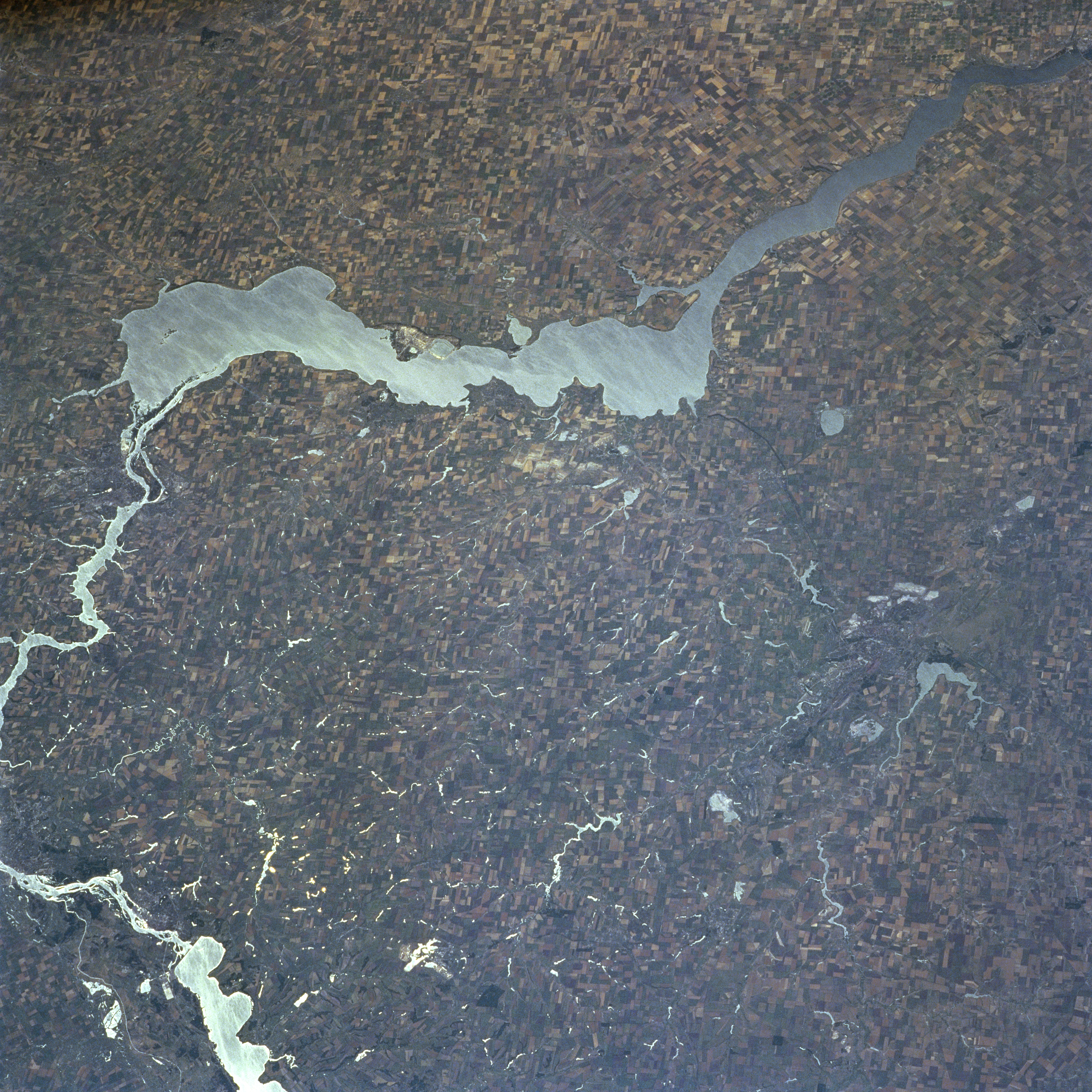
Image Caption: NM21-769-018 Kakhovsk Reservoir, Ukraine Summer 1996
The southern portion of the 1430-mile (2300 km) long Dnepr (Dnieper) River and the Kakhovsk Reservoir are visible in this south-looking view. The Dnieper River rises in the Valdai Hills to the west of Moscow and flows generally southward emptying into the Black Sea. The river is navigable for most of its entire course. At the left center of the image and, is one of the Ukraine's leading industrial complexes, the city of Zaporozhye. Zaporozhye is home to one of the former USSR's largest hydroelectric plants. Near the right center of the image is the city of Krivoy Rog. Krivoy Rog is a major railroad center and industrial city located in the midst of one of the world's richest iron mining regions. The city is situated on the western edge of the Donets Basin, a major coal-producing region in the Ukraine. Winter wheat, corn, melons, and potatoes are grown in the agricultural region surrounding the Kakhovsk Reservoir.
The southern portion of the 1430-mile (2300 km) long Dnepr (Dnieper) River and the Kakhovsk Reservoir are visible in this south-looking view. The Dnieper River rises in the Valdai Hills to the west of Moscow and flows generally southward emptying into the Black Sea. The river is navigable for most of its entire course. At the left center of the image and, is one of the Ukraine's leading industrial complexes, the city of Zaporozhye. Zaporozhye is home to one of the former USSR's largest hydroelectric plants. Near the right center of the image is the city of Krivoy Rog. Krivoy Rog is a major railroad center and industrial city located in the midst of one of the world's richest iron mining regions. The city is situated on the western edge of the Donets Basin, a major coal-producing region in the Ukraine. Winter wheat, corn, melons, and potatoes are grown in the agricultural region surrounding the Kakhovsk Reservoir.
