NM21-768-22
| NASA Photo ID | NM21-768-22 |
| Focal Length | 250mm |
| Date taken | 1996.07.06 |
| Time taken | 17:54:05 GMT |
Resolutions offered for this image:
791 x 795 pixels 3892 x 3886 pixels 639 x 639 pixels 5700 x 6000 pixels 500 x 526 pixels
791 x 795 pixels 3892 x 3886 pixels 639 x 639 pixels 5700 x 6000 pixels 500 x 526 pixels
Cloud masks available for this image:
Spacecraft nadir point: 46.5° N, 112.8° W
Photo center point: 51.0° N, 114.0° W
Photo center point by machine learning:
Photo center point: 51.0° N, 114.0° W
Photo center point by machine learning:
Nadir to Photo Center: North
Spacecraft Altitude: 207 nautical miles (383km)
Camera: | Hasselblad |
Focal Length: | 250mm |
Camera Tilt: | 53 degrees |
Format: | 5046: Kodak, natural color positive, Lumiere 100/5046, ASA 100, standard base |
Film Exposure: | Normal |
| Additional Information | |
| Width | Height | Annotated | Cropped | Purpose | Links |
|---|---|---|---|---|---|
| 791 pixels | 795 pixels | No | No | Cities collection | Download Image |
| 3892 pixels | 3886 pixels | No | No | Earth From Space collection | Download Image |
| 639 pixels | 639 pixels | No | No | Earth From Space collection | Download Image |
| 5700 pixels | 6000 pixels | No | No | Download Image | |
| 500 pixels | 526 pixels | No | No | Download Image |
Download Packaged File
Download a Google Earth KML for this Image
View photo footprint information
Download a GeoTIFF for this photo
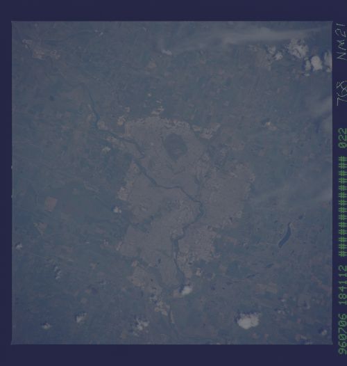
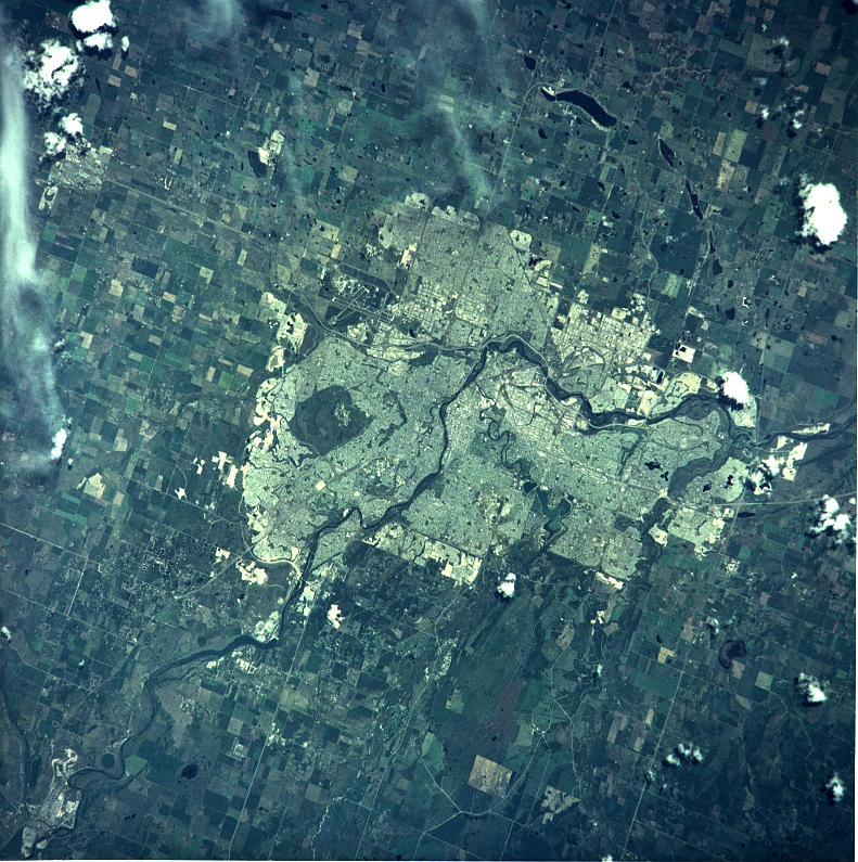
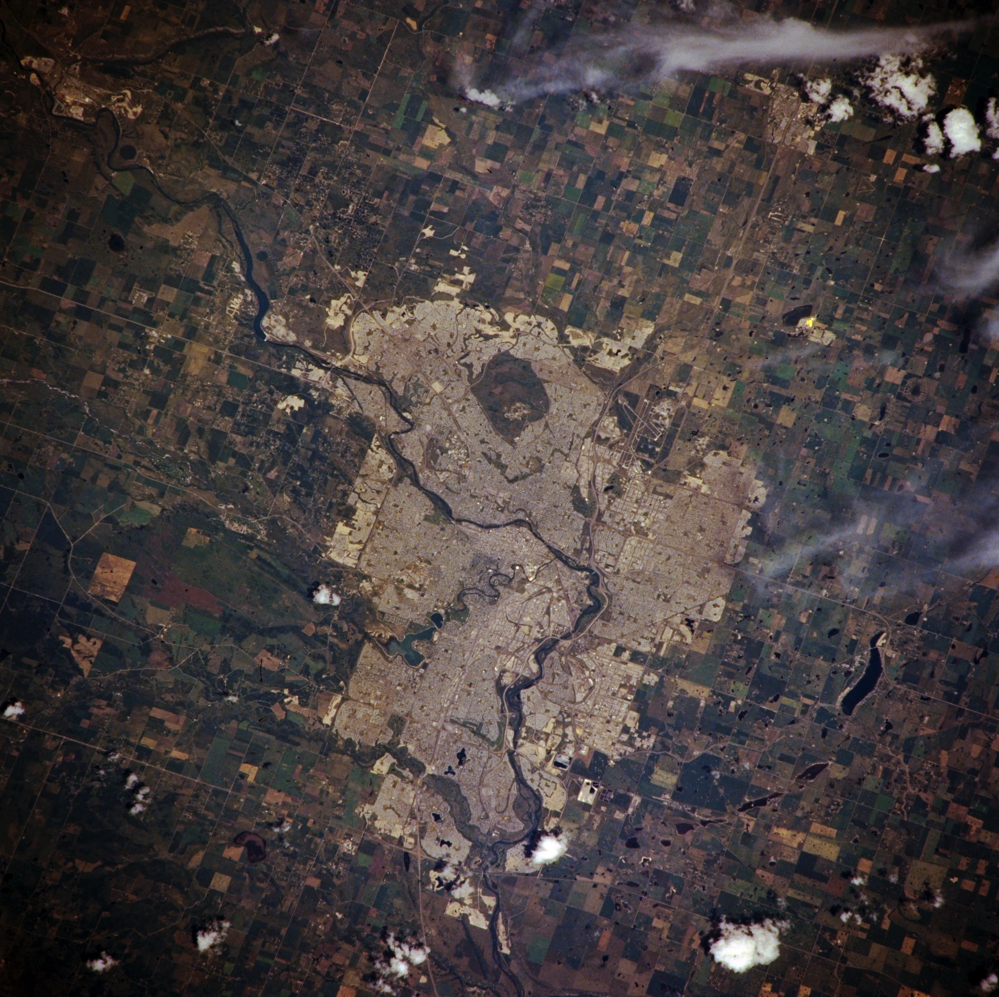
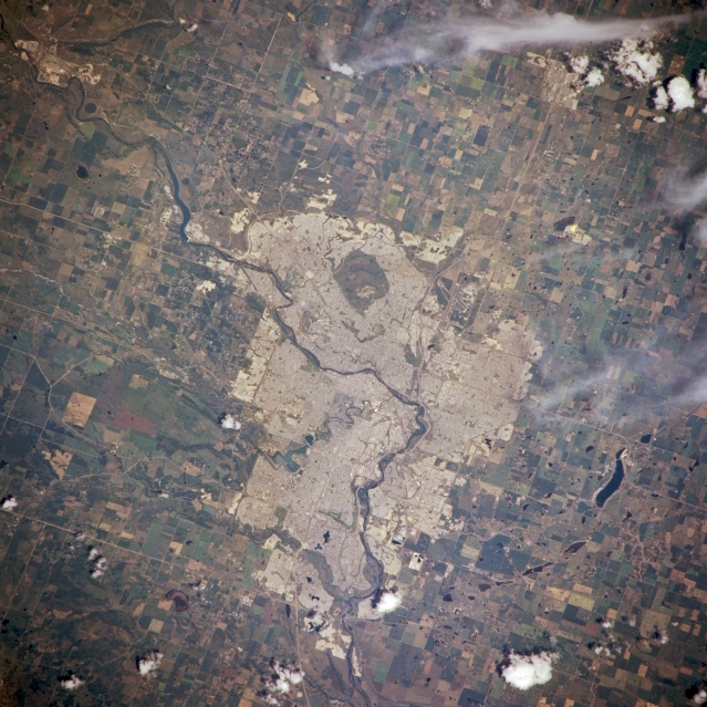
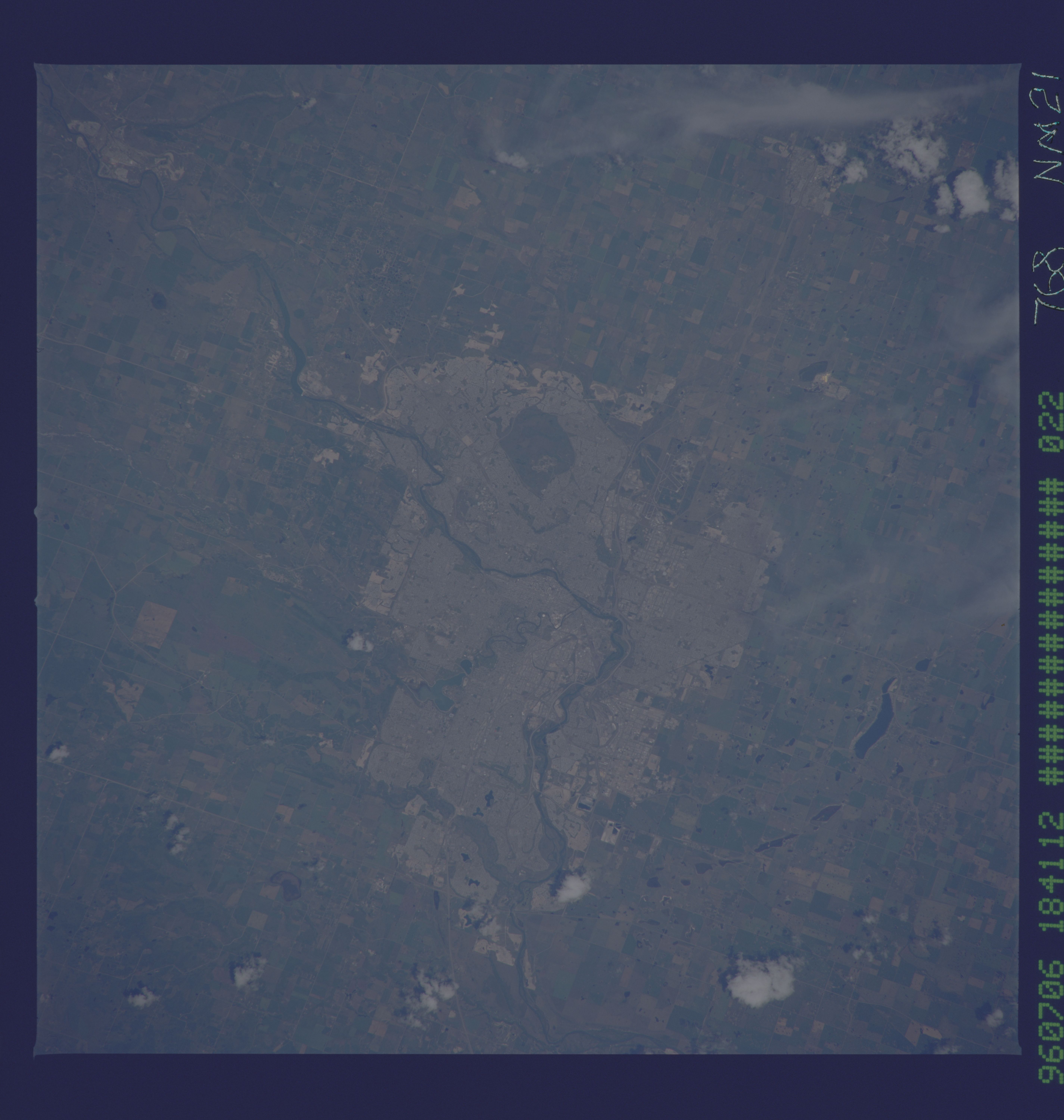
Image Caption: NM21-768-022 Calgary Area, Alberta, Canada Spring/Summer 1996
Considered to be part of western Canada, Calgary was one of the fastest growing urban areas in North America during the decades of the 1970's and 1980's. The built-up area (lighter color) stands out in marked contrast with the surrounding rural landscape. Even though the climate of the Calgary region is semiarid, many cultivated fields and pasturelands are visible all around the periphery of the city. Much of the cultivated land is used to grow oats and barley which is in turn used for stock feed. The Bow River is visible as it cuts through the middle of the city. Downtown Calgary is located immediately west of where the Bow River makes its course change to the south (near the center of the image). The runways of Calgary International Airport are visible on the image.
Considered to be part of western Canada, Calgary was one of the fastest growing urban areas in North America during the decades of the 1970's and 1980's. The built-up area (lighter color) stands out in marked contrast with the surrounding rural landscape. Even though the climate of the Calgary region is semiarid, many cultivated fields and pasturelands are visible all around the periphery of the city. Much of the cultivated land is used to grow oats and barley which is in turn used for stock feed. The Bow River is visible as it cuts through the middle of the city. Downtown Calgary is located immediately west of where the Bow River makes its course change to the south (near the center of the image). The runways of Calgary International Airport are visible on the image.
