NM21-767-88
| NASA Photo ID | NM21-767-88 |
| Focal Length | 250mm |
| Date taken | 1996.07.__ |
| Time taken | GMT |
Resolutions offered for this image:
3904 x 3874 pixels 639 x 635 pixels 5700 x 6000 pixels 500 x 526 pixels
3904 x 3874 pixels 639 x 635 pixels 5700 x 6000 pixels 500 x 526 pixels
Cloud masks available for this image:
Spacecraft nadir point:
Photo center point: 40.0° N, 89.0° W
Photo center point by machine learning:
Photo center point: 40.0° N, 89.0° W
Photo center point by machine learning:
Nadir to Photo Center:
Spacecraft Altitude: nautical miles (0km)
Country or Geographic Name: | USA-ILLINOIS |
Features: | DECATUR, LAKE DECATUR, AGR |
| Features Found Using Machine Learning: | |
Cloud Cover Percentage: | 0 (no clouds present) |
Sun Elevation Angle: | ° |
Sun Azimuth: | ° |
Camera: | Hasselblad |
Focal Length: | 250mm |
Camera Tilt: | |
Format: | 5046: Kodak, natural color positive, Lumiere 100/5046, ASA 100, standard base |
Film Exposure: | Normal |
| Additional Information | |
| Width | Height | Annotated | Cropped | Purpose | Links |
|---|---|---|---|---|---|
| 3904 pixels | 3874 pixels | No | No | Earth From Space collection | Download Image |
| 639 pixels | 635 pixels | No | No | Earth From Space collection | Download Image |
| 5700 pixels | 6000 pixels | No | No | Download Image | |
| 500 pixels | 526 pixels | No | No | Download Image |
Download Packaged File
Download a Google Earth KML for this Image
View photo footprint information
Download a GeoTIFF for this photo
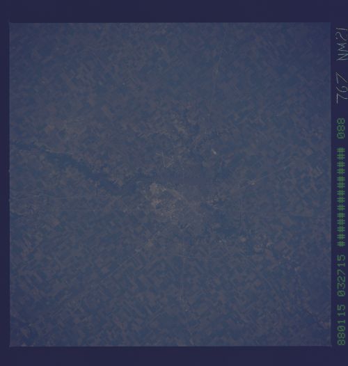
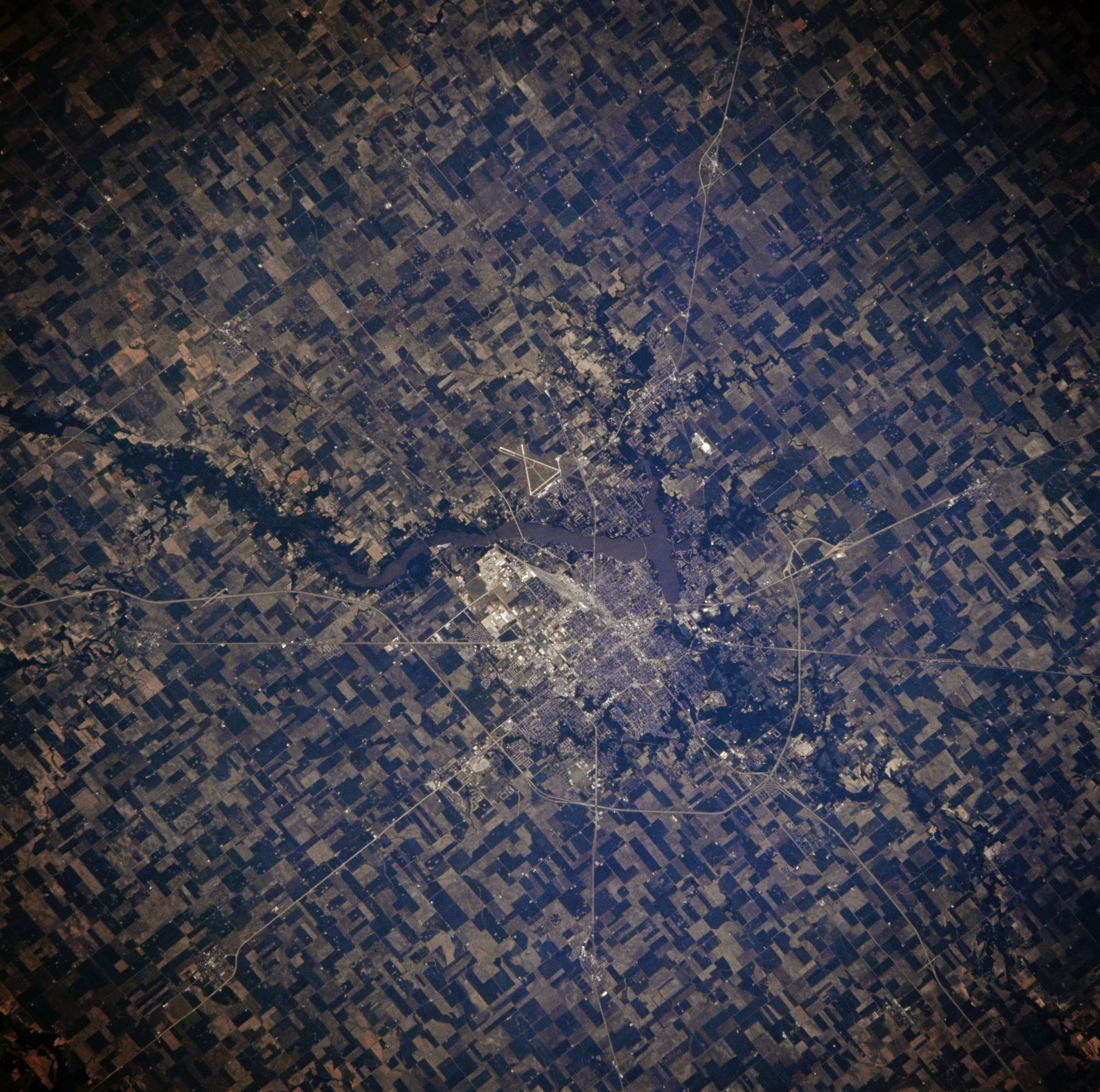
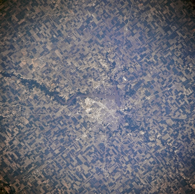
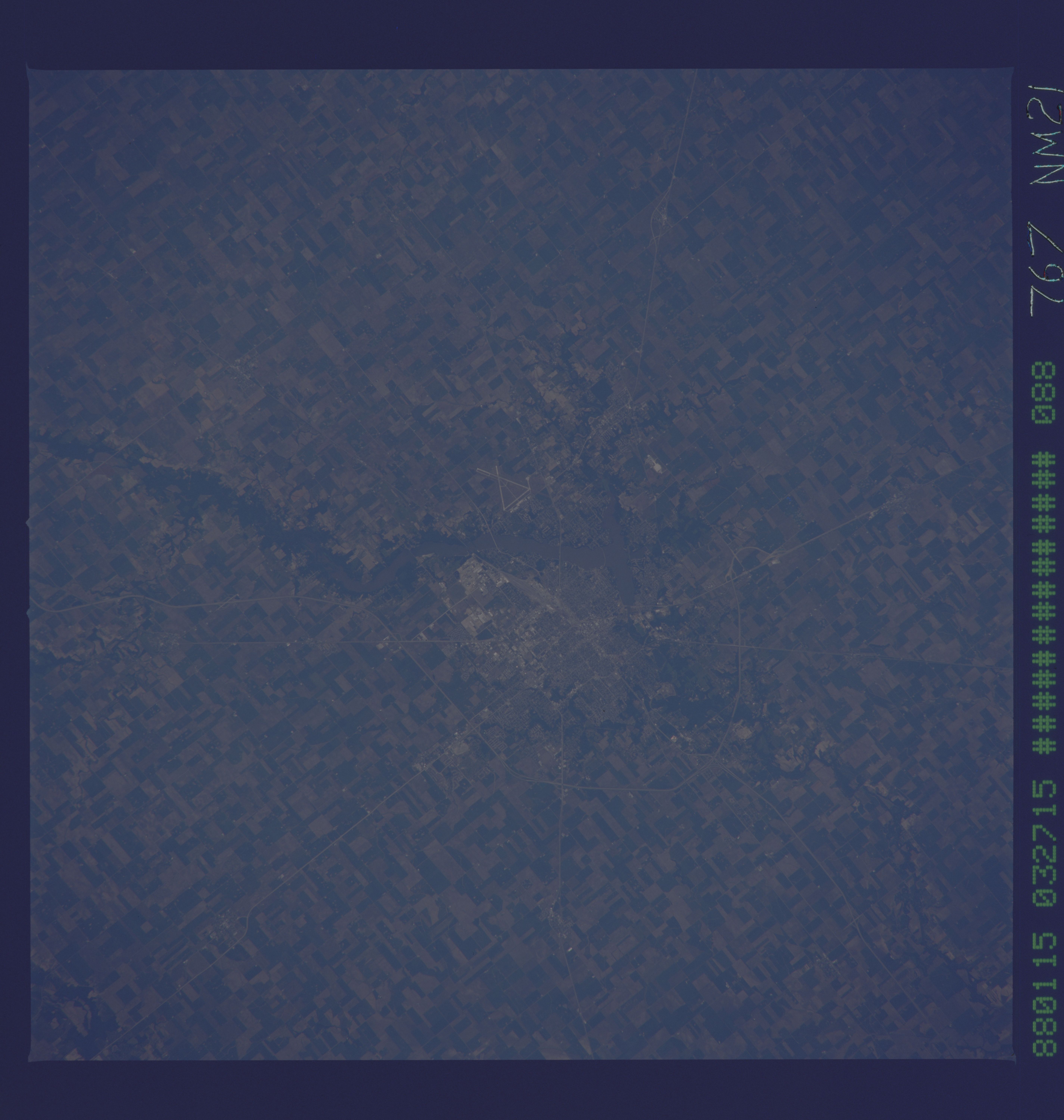
Image Caption: NM21-767-088 Decatur, Illinois, U.S.A. Winter 1995-1996
Located in a rich farm and livestock producing area of central Illinois, Decatur is apparent in this southeast-looking, low-oblique photograph. Situated on the Sangamon River (dammed here to form Decatur Lake east and southeast of the city), Decatur is a railroad and industrial center with huge plants for processing corn and soybeans. Coal deposits underlie the area. The runways of the Decatur Municipal Airport are visible east of Decatur Lake. In Decatur Abraham Lincoln received his first party convention endorsement for the nomination of President of the United States in May 1860.
Located in a rich farm and livestock producing area of central Illinois, Decatur is apparent in this southeast-looking, low-oblique photograph. Situated on the Sangamon River (dammed here to form Decatur Lake east and southeast of the city), Decatur is a railroad and industrial center with huge plants for processing corn and soybeans. Coal deposits underlie the area. The runways of the Decatur Municipal Airport are visible east of Decatur Lake. In Decatur Abraham Lincoln received his first party convention endorsement for the nomination of President of the United States in May 1860.
