NM21-766-78
| NASA Photo ID | NM21-766-78 |
| Focal Length | 250mm |
| Date taken | 1996.07.05 |
| Time taken | GMT |
Resolutions offered for this image:
3904 x 3856 pixels 639 x 632 pixels 5700 x 6000 pixels 500 x 526 pixels
3904 x 3856 pixels 639 x 632 pixels 5700 x 6000 pixels 500 x 526 pixels
Cloud masks available for this image:
Spacecraft nadir point:
Photo center point: 41.0° N, 73.5° W
Photo center point by machine learning:
Photo center point: 41.0° N, 73.5° W
Photo center point by machine learning:
Nadir to Photo Center: Northwest
Spacecraft Altitude: nautical miles (0km)
Country or Geographic Name: | USA-CONNECTICUT |
Features: | BRIDGEPORT, LONG I. SOUND |
| Features Found Using Machine Learning: | |
Cloud Cover Percentage: | 0 (no clouds present) |
Sun Elevation Angle: | ° |
Sun Azimuth: | ° |
Camera: | Hasselblad |
Focal Length: | 250mm |
Camera Tilt: | Low Oblique |
Format: | 5046: Kodak, natural color positive, Lumiere 100/5046, ASA 100, standard base |
Film Exposure: | Normal |
| Additional Information | |
| Width | Height | Annotated | Cropped | Purpose | Links |
|---|---|---|---|---|---|
| 3904 pixels | 3856 pixels | No | No | Earth From Space collection | Download Image |
| 639 pixels | 632 pixels | No | No | Earth From Space collection | Download Image |
| 5700 pixels | 6000 pixels | No | No | Download Image | |
| 500 pixels | 526 pixels | No | No | Download Image |
Download Packaged File
Download a Google Earth KML for this Image
View photo footprint information
Download a GeoTIFF for this photo
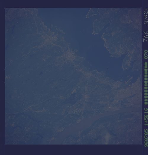
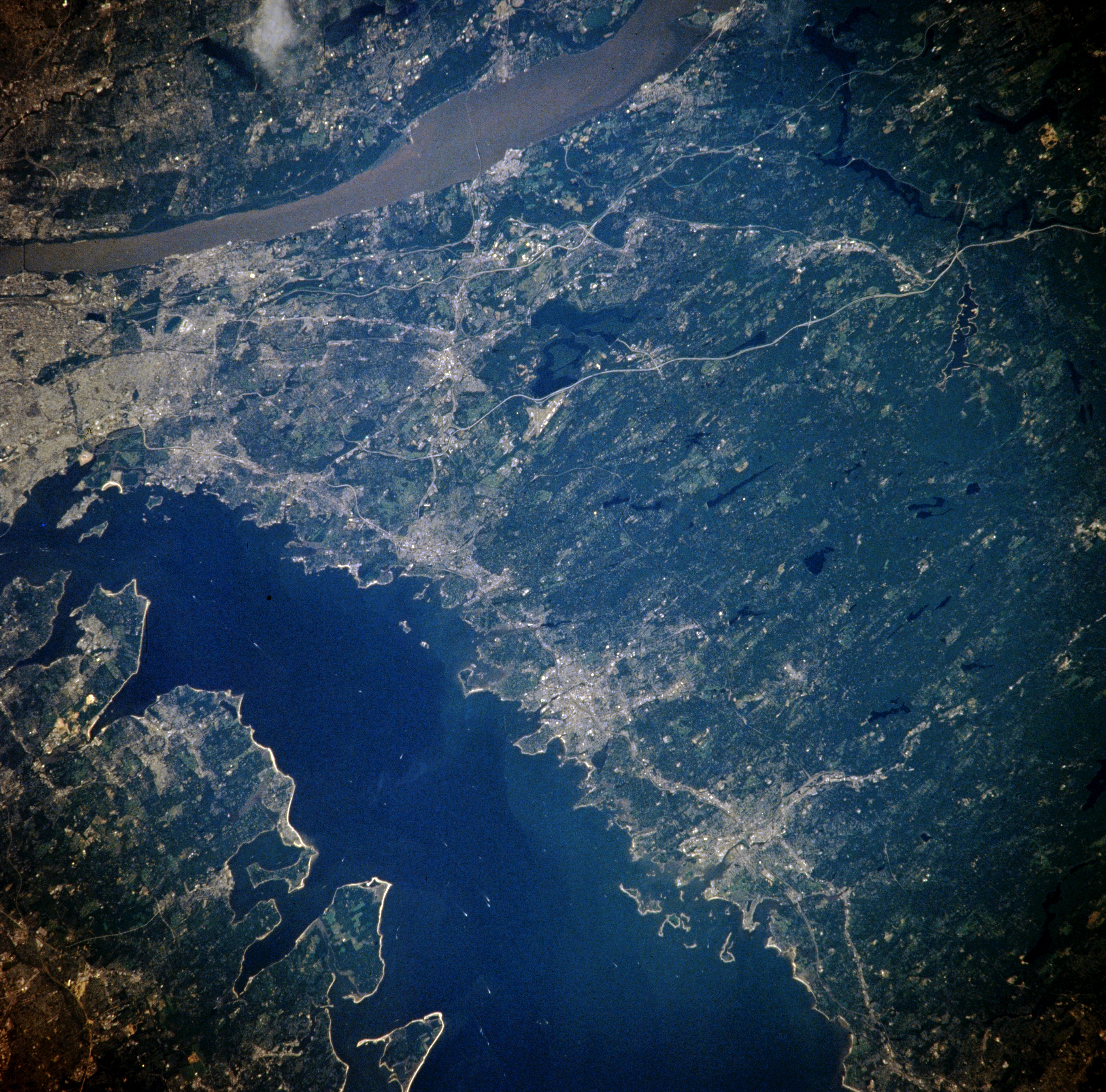
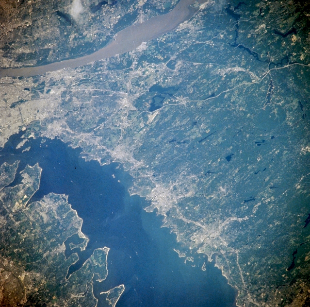
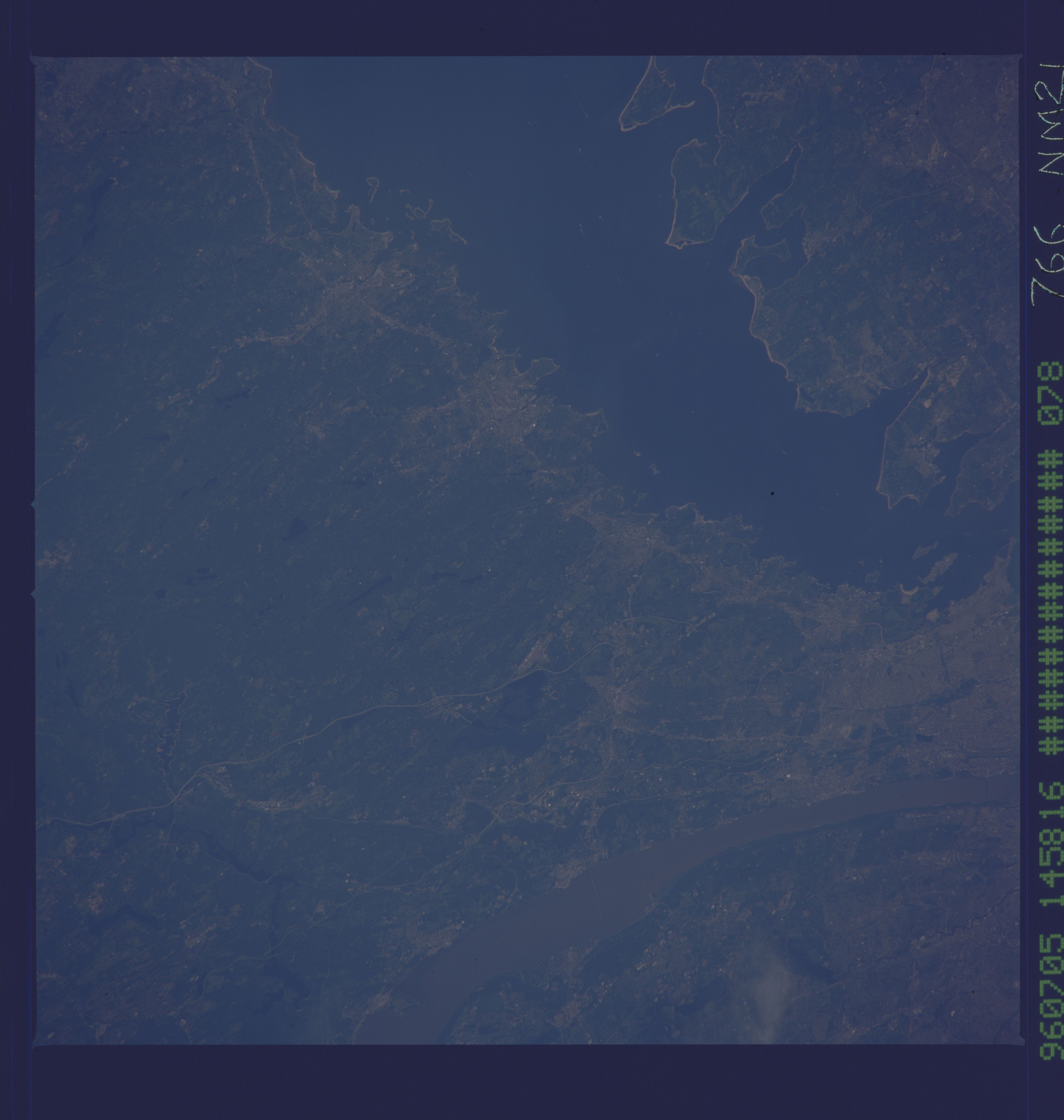
Image Caption: NM21-766-078 Long Island Sound, Connecticut Spring-Summer 1996
Long Island Sound and southwestern Connecticut can be seen in this northwest-looking view. Long Island Sound, an arm of the Atlantic Ocean, was once a river valley with the river flowing from west to east. Some 12000 to 15000 years ago, glaciers scoured out the valley and dumped their deposits on what is now Long Island. Long Island Sound is 115 miles long (185 km) long. The northern coast of Long Island has low hills and cliffs and is indented with many bays (lower left). Many cities, such as Stamford, Norwalk, and Bridgeport (bottom right) form an urban corridor along the Sound's Connecticut coast, with many of their residents commuting to and from their jobs in the New York City area. The region to the north of the Connecticut coast is made up of low hills and rolling terrain with numerous small lakes and forested areas. The Hudson River is visible traversing the upper left to the upper center of the image.
Long Island Sound and southwestern Connecticut can be seen in this northwest-looking view. Long Island Sound, an arm of the Atlantic Ocean, was once a river valley with the river flowing from west to east. Some 12000 to 15000 years ago, glaciers scoured out the valley and dumped their deposits on what is now Long Island. Long Island Sound is 115 miles long (185 km) long. The northern coast of Long Island has low hills and cliffs and is indented with many bays (lower left). Many cities, such as Stamford, Norwalk, and Bridgeport (bottom right) form an urban corridor along the Sound's Connecticut coast, with many of their residents commuting to and from their jobs in the New York City area. The region to the north of the Connecticut coast is made up of low hills and rolling terrain with numerous small lakes and forested areas. The Hudson River is visible traversing the upper left to the upper center of the image.
