NM21-765-36
| NASA Photo ID | NM21-765-36 |
| Focal Length | 250mm |
| Date taken | 1996.07.03 |
| Time taken | 16:51:41 GMT |
Resolutions offered for this image:
3898 x 3880 pixels 639 x 637 pixels 5700 x 6000 pixels 500 x 526 pixels
3898 x 3880 pixels 639 x 637 pixels 5700 x 6000 pixels 500 x 526 pixels

Cloud masks available for this image:
Spacecraft nadir point: 40.2° N, 91.3° W
Photo center point: 41.0° N, 91.0° W
Photo center point by machine learning:
Photo center point: 41.0° N, 91.0° W
Photo center point by machine learning:
Nadir to Photo Center: North
Spacecraft Altitude: 208 nautical miles (385km)
Country or Geographic Name: | USA-IOWA |
Features: | BURLINGTON, MISSISSIPPI R |
| Features Found Using Machine Learning: | |
Cloud Cover Percentage: | 5 (1-10)% |
Sun Elevation Angle: | 66° |
Sun Azimuth: | 130° |
Camera: | Hasselblad |
Focal Length: | 250mm |
Camera Tilt: | 14 degrees |
Format: | 5046: Kodak, natural color positive, Lumiere 100/5046, ASA 100, standard base |
Film Exposure: | Normal |
| Additional Information | |
| Width | Height | Annotated | Cropped | Purpose | Links |
|---|---|---|---|---|---|
| 3898 pixels | 3880 pixels | No | No | Earth From Space collection | Download Image |
| 639 pixels | 637 pixels | No | No | Earth From Space collection | Download Image |
| 5700 pixels | 6000 pixels | No | No | Download Image | |
| 500 pixels | 526 pixels | No | No | Download Image |
Download Packaged File
Download a Google Earth KML for this Image
View photo footprint information
Download a GeoTIFF for this photo
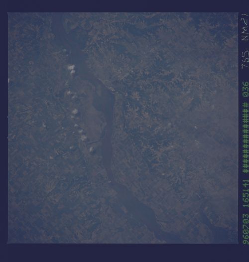
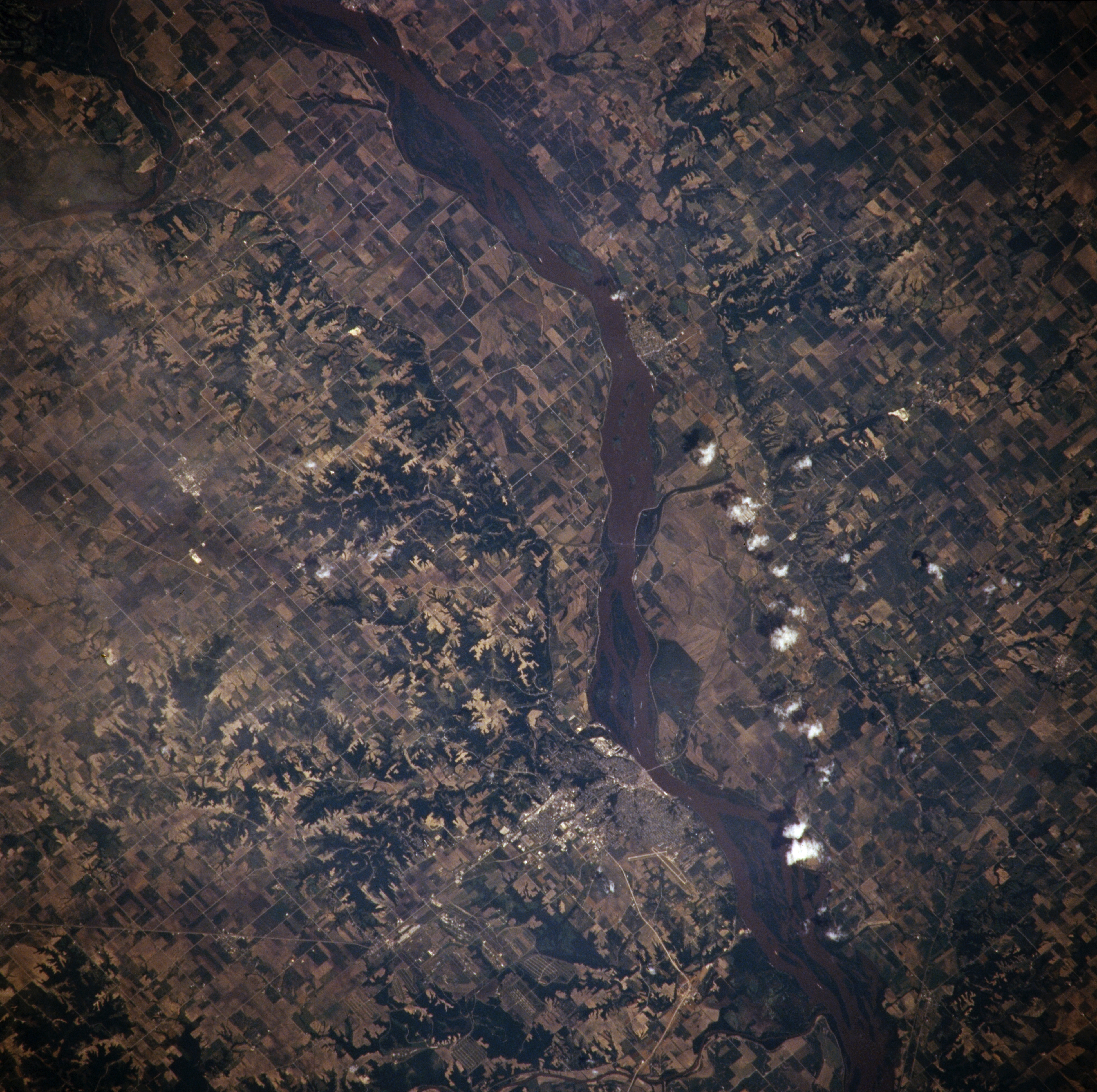
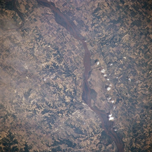
Image Caption: NM21-765-036 Mississippi River and Burlington, Iowa, U.S.A. Winter 1995-1996
The muddy Mississippi River and numerous agricultural field patterns in its floodplain are featured in this northeast-looking, low-oblique photograph. Burlington, a river city (midway between center and bottom center) on the west bank of the Mississippi, is a farm, shipping, and manufacturing center in this rich agricultural region and home of one of the state's oldest newspapers still in publication.
The muddy Mississippi River and numerous agricultural field patterns in its floodplain are featured in this northeast-looking, low-oblique photograph. Burlington, a river city (midway between center and bottom center) on the west bank of the Mississippi, is a farm, shipping, and manufacturing center in this rich agricultural region and home of one of the state's oldest newspapers still in publication.
