NM21-765-34
| NASA Photo ID | NM21-765-34 |
| Focal Length | 250mm |
| Date taken | 1996.07.03 |
| Time taken | 16:51:36 GMT |
Resolutions offered for this image:
3904 x 3904 pixels 639 x 639 pixels 5700 x 6000 pixels 500 x 526 pixels
3904 x 3904 pixels 639 x 639 pixels 5700 x 6000 pixels 500 x 526 pixels
Cloud masks available for this image:
Spacecraft nadir point: 40.0° N, 91.7° W
Photo center point: 40.5° N, 91.5° W
Photo center point by machine learning:
Photo center point: 40.5° N, 91.5° W
Photo center point by machine learning:
Nadir to Photo Center: North
Spacecraft Altitude: 208 nautical miles (385km)
Country or Geographic Name: | USA-IOWA |
Features: | DES MOINES R., FT. MADISON |
| Features Found Using Machine Learning: | |
Cloud Cover Percentage: | 0 (no clouds present) |
Sun Elevation Angle: | 66° |
Sun Azimuth: | 129° |
Camera: | Hasselblad |
Focal Length: | 250mm |
Camera Tilt: | 9 degrees |
Format: | 5046: Kodak, natural color positive, Lumiere 100/5046, ASA 100, standard base |
Film Exposure: | Normal |
| Additional Information | |
| Width | Height | Annotated | Cropped | Purpose | Links |
|---|---|---|---|---|---|
| 3904 pixels | 3904 pixels | No | No | Earth From Space collection | Download Image |
| 639 pixels | 639 pixels | No | No | Earth From Space collection | Download Image |
| 5700 pixels | 6000 pixels | No | No | Download Image | |
| 500 pixels | 526 pixels | No | No | Download Image |
Download Packaged File
Download a Google Earth KML for this Image
View photo footprint information
Download a GeoTIFF for this photo
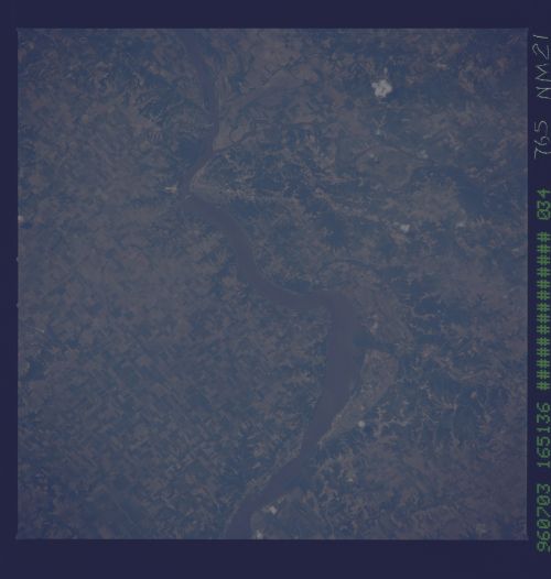
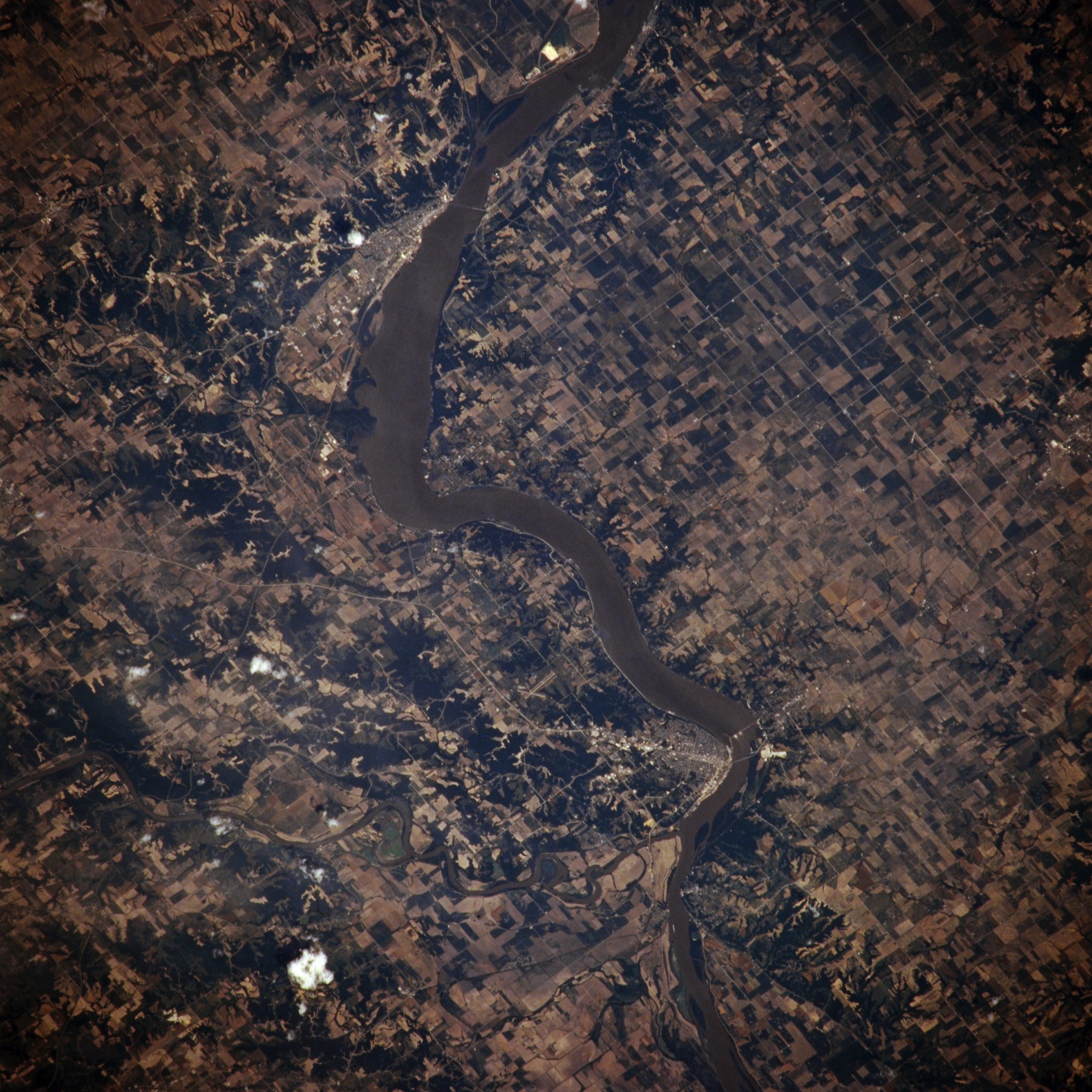
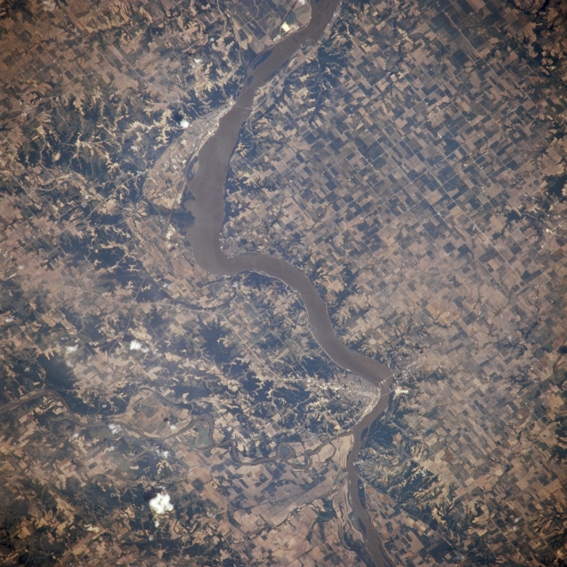
Image Caption: NM21-765-034 Lake Keokuk, Keokuk, and Fort Madison, Iowa, U.S.A. Winter 1995-1996
Lake Keokuk, part of the muddy Mississippi River, is featured in this northeast-looking, low-oblique photograph. The lake and the 53-foot (16-meter) gravity dam, which was completed in 1913, provide hydroelectric power for Keokuk, located on the west bank of the Mississippi River (just below center). Immediately south of Keokuk, the Des Moines River joins the Mississippi River. North of Keokuk is Fort Madison, a river port and a rail, commercial, and industrial center in a rich agricultural area. The city, originally established in 1808 as a trading post, was the site of the first fort west of the Mississippi River.
Lake Keokuk, part of the muddy Mississippi River, is featured in this northeast-looking, low-oblique photograph. The lake and the 53-foot (16-meter) gravity dam, which was completed in 1913, provide hydroelectric power for Keokuk, located on the west bank of the Mississippi River (just below center). Immediately south of Keokuk, the Des Moines River joins the Mississippi River. North of Keokuk is Fort Madison, a river port and a rail, commercial, and industrial center in a rich agricultural area. The city, originally established in 1808 as a trading post, was the site of the first fort west of the Mississippi River.
